Record SL-631659 · Wikidata Q6729053
Mae West Peaks
No list classifications
Elevation
1,933
m
6,342 ft
Prominence
—
Isolation
—
Coordinates
32.1001° N,
110.1223° W
Grid ref
—
Description
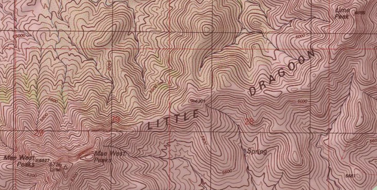
WikipediaMae West Peaks is a pair of summits in Cochise County, Arizona. The taller of the two was formerly known as Lime Peak and the elevation and coordinates in the infobox refer to this peak. They are in the Little Dragoon Mountains, northwest of Texas Canyon and 3.3 miles (5.3 km) west-southwest of the ghost town of Johnson, Arizona. These summits were named for their shape, which were thought to be reminiscent of the figure of the actress Mae West. The 6,655-foot (2,028 m) Lime Peak is 1.8 miles (3 km) to the northeast which is also in the Little Dragoon Mountains.
Best months
Hiking score 0–100 · 10-yr climate averagesRows beneath each bar: mean temperature, monthly precipitation. Highest-scoring month in red.
Neighbouring summits
| Name | Elevation | Bearing | Distance |
|---|---|---|---|
| Russellville Peak | 2,008 m | S 170° | 1.6 km |
| Lime Peak | 2,005 m | NE 62° | 2.9 km |
| Little Dragoon Mountains | 2,008 m | NE 64° | 2.9 km |