Record SL-630562 · Wikidata Q16894183
Lime Peak
No list classifications
Elevation
2,005
m
6,578 ft
Prominence
695 m
Isolation
—
Coordinates
32.1123° N,
110.0951° W
Grid ref
—
Description
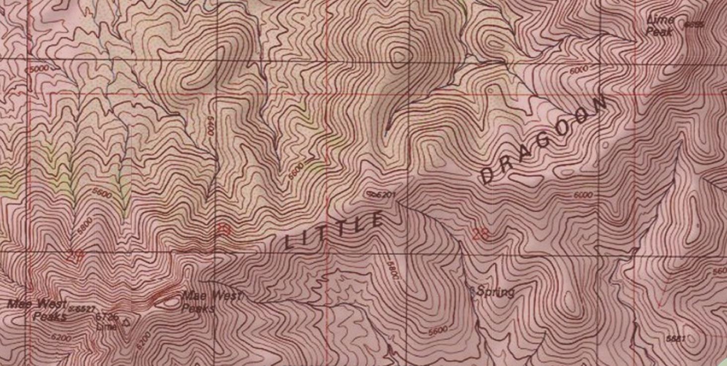
WikipediaLime Peak is a summit in Cochise County, Arizona, north of Interstate 10 between Benson and Willcox and 6.6 miles (11 km) northwest of Dragoon, Arizona. It is one of three named peaks in the Little Dragoon Mountains. Two of the peaks are named the Mae West Peaks since their appearance was thought to be reminiscent of the figure of the actress Mae West. In 1935 the United States Coast and Geodetic Survey referred to the tallest of the Mae West peaks as Lime. In 1984 the U.S. Board on Geographic Names officially assigned the name Lime Peak to its current location. It had also been known as Johnson Peak.
Best months
Hiking score 0–100 · 10-yr climate averagesRows beneath each bar: mean temperature, monthly precipitation. Highest-scoring month in red.
Neighbouring summits
| Name | Elevation | Bearing | Distance |
|---|---|---|---|
| Little Dragoon Mountains | 2,008 m | SE 128° | 0.1 km |
| Mae West Peaks | 1,933 m | SW 242° | 2.9 km |
| Russellville Peak | 2,008 m | SW 218° | 3.7 km |