Record SL-630686 · Wikidata Q49047228
Lyell Butte
No list classifications
Elevation
1,608
m
5,276 ft
Prominence
153 m
Isolation
2.5 km
Coordinates
36.0461° N,
112.0293° W
Grid ref
—
Description
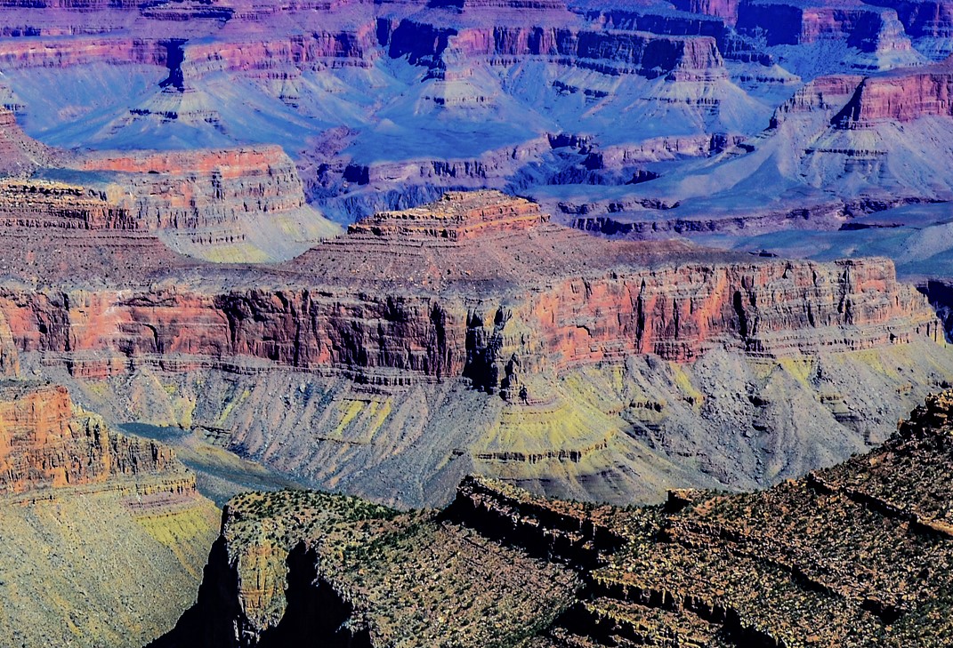
WikipediaLyell Butte is a 5,362-foot (1,634 m) elevation summit located in the Grand Canyon, in Coconino County of northern Arizona, United States. It is situated six miles (9.7 km) east of Grand Canyon Village, immediately east of and below Shoshone Point, and 1.5 mile southeast of Newton Butte, which is the nearest higher neighbor. Topographic relief is significant as Lyell Butte rises 2,800 feet (850 m) above the Colorado River in 1.5 mile (2.4 km). Access is via the Tonto Trail which traverses the base of the peak. According to the Köppen climate classification system, Lyell Butte is located in a cold semi-arid climate zone, with precipitation runoff draining northeast to the Colorado River via Grapevine and Boulder Creeks.
First ascent
Date
1970
Source · wikipedia
Best months
Hiking score 0–100 · 10-yr climate averagesRows beneath each bar: mean temperature, monthly precipitation. Highest-scoring month in red.
Neighbouring summits
| Name | Elevation | Bearing | Distance |
|---|---|---|---|
| Newton Butte | 1,781 m | NW 307° | 2.6 km |
| Pattie Butte | 1,563 m | NW 320° | 3.7 km |
| Berry Butte | 1,729 m | SE 140° | 3.7 km |
| Hawkins Butte | 1,579 m | NE 34° | 4.4 km |
Climbing routes
nearest first| Route | Area | Grade | From summit |
|---|---|---|---|
| He Left Me For Patti | Newton Butte | 5.9+ | 2.6 km |
| Southeast Face | Newton Butte | 5.7 | 2.6 km |
| North Face | O'Neill Butte | 5.5 | 6.2 km |
| East Face | O'Neill Butte | 5.9 | 6.2 km |
| Northeast Chimney | O'Neill Butte | 5.9 | 6.2 km |
| Doghouse | The Doghouse | 5.5 | 6.4 km |
| NE Arete | Zoroaster Temple | 5.9+ | 8.2 km |
| SE Face | Zoroaster Temple | 5.11+ | 8.2 km |
| Screaming Sky Crack | Zoroaster Temple | 5.11- | 8.2 km |
| North Face | Vishnu Temple | 5.0 | 9.7 km |