Hanging Rock
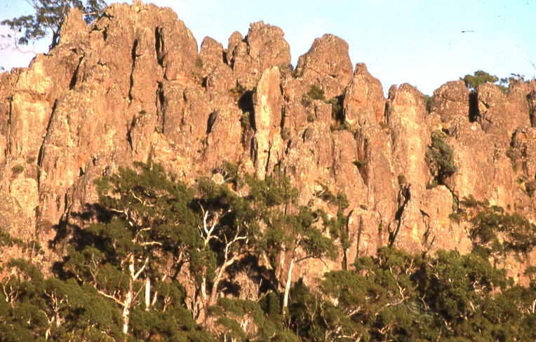
Description
WikipediaHanging Rock (also known as Dryden's Mount or Dryden's Rock, and to some Aboriginal Australians as Ngannelong) is a distinctive geological formation in central Victoria, Australia. A former volcano, it lies 718 m above sea level, and 105 m above the surrounding plain, between the two small townships of Newham and Hesket, approximately 70 km north-west of Melbourne, and a few kilometres north of Mount Macedon. In the middle of the 19th century, the original occupants of the place—the Dja Dja Wurrung, Woi Wurrung and Taungurung people—were forced from it. They had been its occupants for thousands of years and, colonisation notwithstanding, continue to maintain cultural and spiritual connections to it. In the late 20th century, the area became widely known as the setting of Joan Lindsay's novel Picnic at Hanging Rock.
Best months
Hiking score 0–100 · 10-yr climate averagesNeighbouring summits
| Name | Elevation | Bearing | Distance |
|---|---|---|---|
| The Jim Jim | 744 m | N 342° | 3.6 km |
| Camels Hump | 1,011 m | S 177° | 4.5 km |