Record SL-705394 · Wikidata Q5025945
Camels Hump
No list classifications
Elevation
1,011
m
3,317 ft
Prominence
—
Isolation
—
Coordinates
37.3701° S,
144.5975° E
Grid ref
—
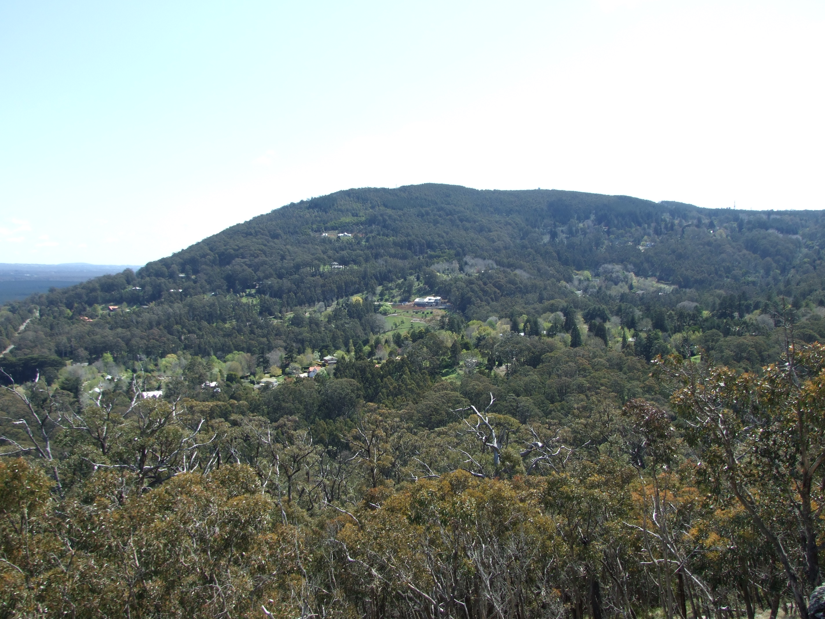
Description
WikipediaMount Macedon ( MASS-ə-dən; Aboriginal Woiwurrung language: Geboor or Geburrh) is a dormant volcano that is part of the Macedon Ranges of the Great Dividing Range, located in the Central Highlands region of Victoria, Australia. The mountain has an elevation of 1,001 metres (3,284 ft) with a prominence of 643 metres (2,110 ft) and is located approximately 65 kilometres (40 mi) northwest of Melbourne.
Best months
Hiking score 0–100 · 10-yr climate averagesRows beneath each bar: mean temperature, monthly precipitation. Highest-scoring month in red.
Neighbouring summits
| Name | Elevation | Bearing | Distance |
|---|---|---|---|
| Mount Macedon | 1,005 m | SW 225° | 2.7 km |
| Hanging Rock | 718 m | N 357° | 4.5 km |