Record SL-864566 · Wikidata Q6167078
Mount Southwick
No list classifications
Elevation
3,280
m
10,761 ft
Prominence
—
Isolation
—
Coordinates
78.7667° S,
84.9167° W
Grid ref
—
Description
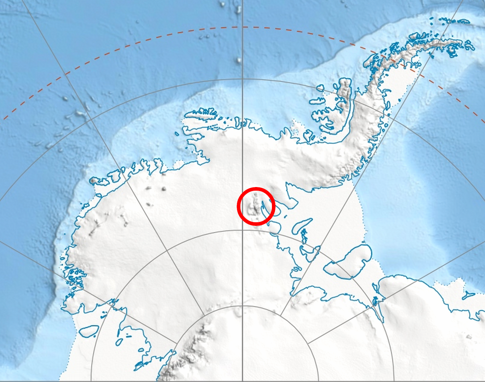
WikipediaMount Southwick (78°46′S 84°55′W) is a mountain (3,280 m) in Owen Ridge near the south end of the Sentinel Range of the Ellsworth Mountains in Antarctica, located 9 nautical miles (17 km) south-southeast of Mount Craddock. The peak surmounts Bolgrad Glacier to the northwest, Kornicker Glacier to the east and Sirma Glacier to the southwest. It was first mapped by the United States Geological Survey (USGS) from surveys and U.S. Navy air photos from 1957 to 1959. It was named by the Advisory Committee on Antarctic Names (US-ACAN) for Tech. Sgt. Thomas E. Southwick, a United States Marine Corps (USMC) navigator on a Navy R4D reconnaissance flight to these mountains on January 28, 1958.
Best months
Hiking score 0–100 · 10-yr climate averagesRows beneath each bar: mean temperature, monthly precipitation. Highest-scoring month in red.
Neighbouring summits
| Name | Elevation | Bearing | Distance |
|---|---|---|---|
| Mount Liptak | 3,052 m | N 11° | 1.9 km |
| Mount Mullen | 2,400 m | SE 117° | 3.7 km |
| Mount Milton | 3,000 m | SE 146° | 4.5 km |