Record SL-864881 · Wikidata Q6922311
Mount Mullen
No list classifications
Elevation
2,400
m
7,874 ft
Prominence
—
Isolation
—
Coordinates
78.7819° S,
84.7622° W
Grid ref
—
Description
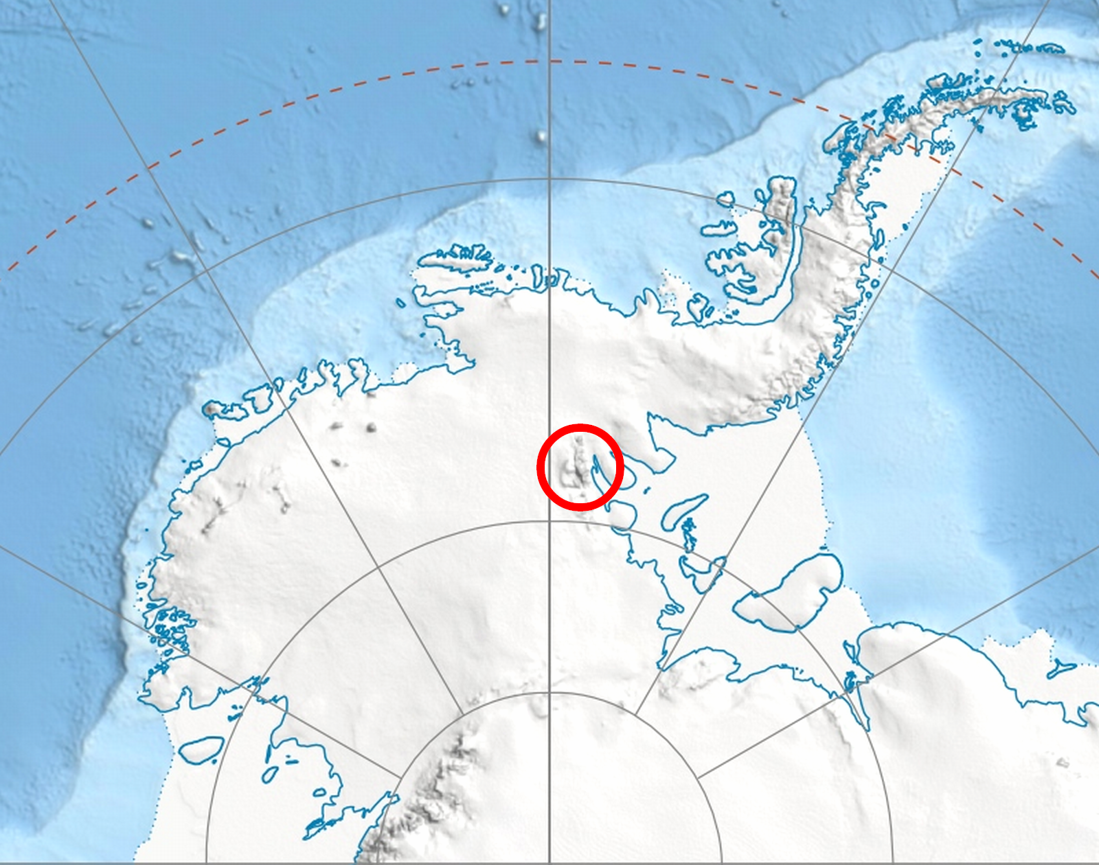
WikipediaMount Mullen is a double-peaked mountain 4.0 kilometres (2.5 mi) east-southeast of Mount Milton in the south Sentinel Range of the Ellsworth Mountains, Antarctica. Located at the west extremity of Petvar Heights, the mountain rises to an elevation of 2,400 metres (7,900 ft) and together with Kasilag Pass forms the divide between Kornicker Glacier and Wessbecher Glacier. The feature was named by US-ACAN in 2006, after Roy R. Mullen, a former employee of the USGS (1960–95, associate chief of the National Mapping Division with responsibility for Antarctic activities 1980–95, USGS representative to SCAR).
Best months
Hiking score 0–100 · 10-yr climate averagesRows beneath each bar: mean temperature, monthly precipitation. Highest-scoring month in red.
Neighbouring summits
| Name | Elevation | Bearing | Distance |
|---|---|---|---|
| Mount Milton | 3,000 m | S 202° | 2.2 km |
| Mount Southwick | 3,280 m | NW 297° | 3.7 km |
| Mount Inderbitzen | 2,600 m | S 187° | 3.9 km |
| Mount Liptak | 3,052 m | NW 320° | 4.6 km |