Record SL-672415 · Wikidata Q1805864
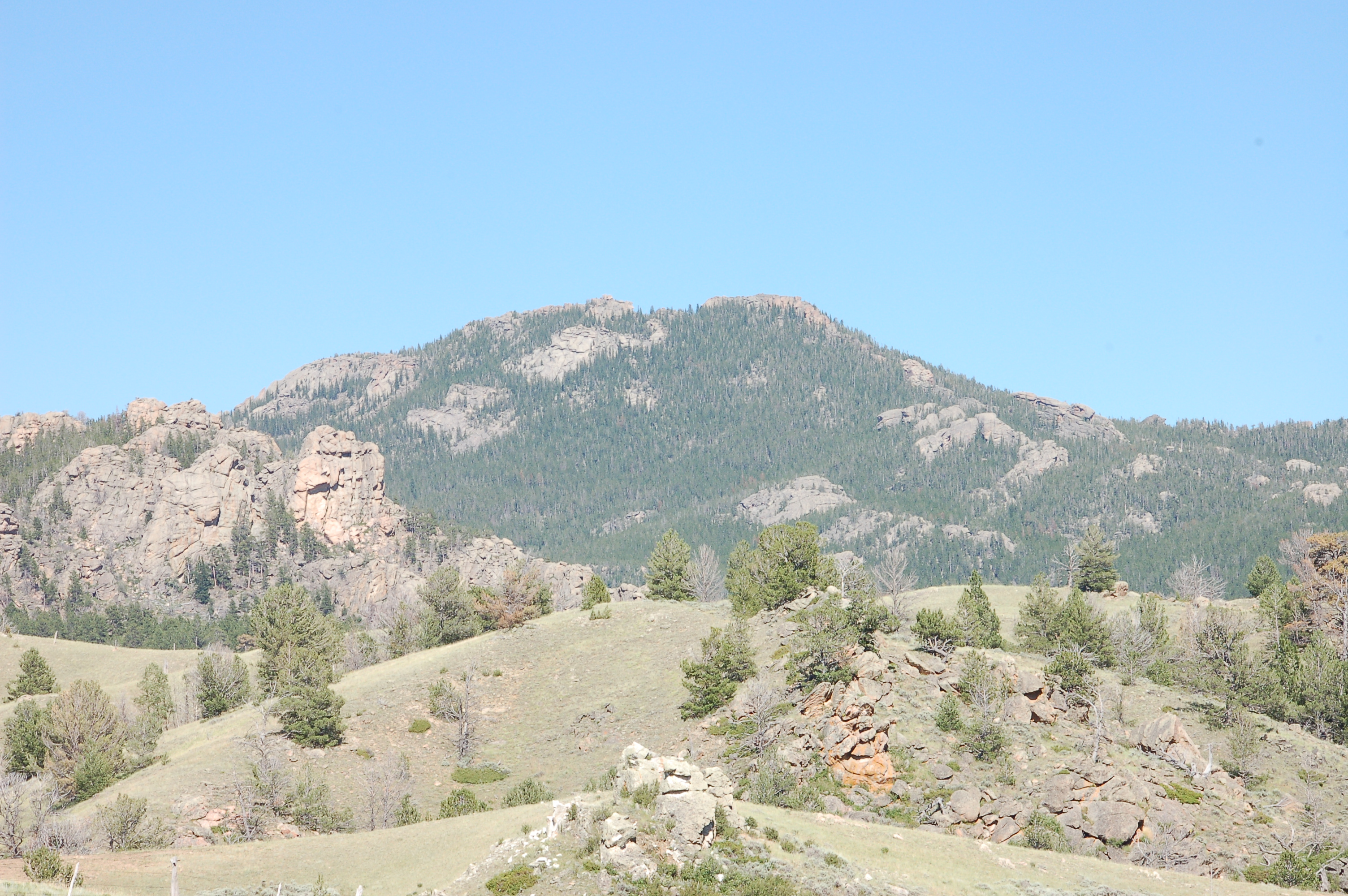
Laramie Peak
No list classifications
Elevation
3,059
m
10,036 ft
Prominence
1,010 m
Isolation
—
Coordinates
42.2679° N,
105.4433° W
Grid ref
—
Description
WikipediaLaramie Peak Is the highest and most prominent peak in the Laramie Range of Wyoming. With a peak elevation of 10,275 feet (3,132 m), it is the only peak in the Laramie Range to exceed an elevation of 10,000 feet (3,000 m). It can be seen from great distances from both sides of the Laramie Range including from around 100 miles (160 km) away at the top of the Scotts Bluff National Monument in Nebraska and in the Wyoming towns of Wheatland, Douglas, Rock River, and immediately outside the cities of Laramie and Cheyenne.
Best months
Hiking score 0–100 · 10-yr climate averagesRows beneath each bar: mean temperature, monthly precipitation. Highest-scoring month in red.
Neighbouring summits
| Name | Elevation | Bearing | Distance |
|---|---|---|---|
| South Mountain | 2,664 m | SW 224° | 4.0 km |
| Haystack Peaks | 2,302 m | E 71° | 4.4 km |
Climbing routes
nearest first| Route | Area | Grade | From summit |
|---|---|---|---|
| Late Sleeper--Late Show | Friend Creek Pinnacle Region | 6b+ | 2.0 km |
| Friendly | Friend Creek Pinnacle Region | 5b | 2.0 km |
| Traverse Master | Friend Creek Pinnacle Region | 6b+ | 2.0 km |
| Trout Line | Friend Creek Pinnacle Region | 6a | 2.0 km |
| Skinny Jenny | Friend Creek Pinnacle Region | 6b | 2.0 km |
| Inaugural Address | Friend Creek Pinnacle Region | 7a | 2.0 km |
| Saddle Battle | Friend Creek Pinnacle Region | 6a+ | 2.0 km |
| Overhang Bang | Friend Creek Pinnacle Region | 6c | 2.0 km |
| The Tackle for Trout | Friend Creek Pinnacle Region | 5b | 2.0 km |
| Computer Taxidermist | Friend Creek Pinnacle Region | 6c | 2.0 km |
| Cougar Chase | Roaring Fork Rocks | 6b | 4.4 km |
| Flat Rabbit | Roaring Fork Rocks | 6c | 4.4 km |
| Art & Science | Roaring Fork Rocks | 5c | 4.4 km |
| Wilford Route | Haystack Peaks | 6c+ | 4.4 km |
| Estro-Analysis | Jack Squirrel Peak Area | 5b | 7.9 km |
| Cowgirls Dream | Jack Squirrel Peak Area | 5b | 7.9 km |
| Josh's Trident (Center) | Campo Nuevo | 5b | 9.7 km |
| The Route That Goes Diagonal Up & Left Then Strait Up At The Top | Campo Nuevo | 5c | 9.7 km |
| 2015! (Conquest of the Unknown) | Campo Nuevo | 4c | 9.7 km |
| Ride the Cucumber | Campo Nuevo | 5b | 9.7 km |