Record SL-670247 · Wikidata Q6923023
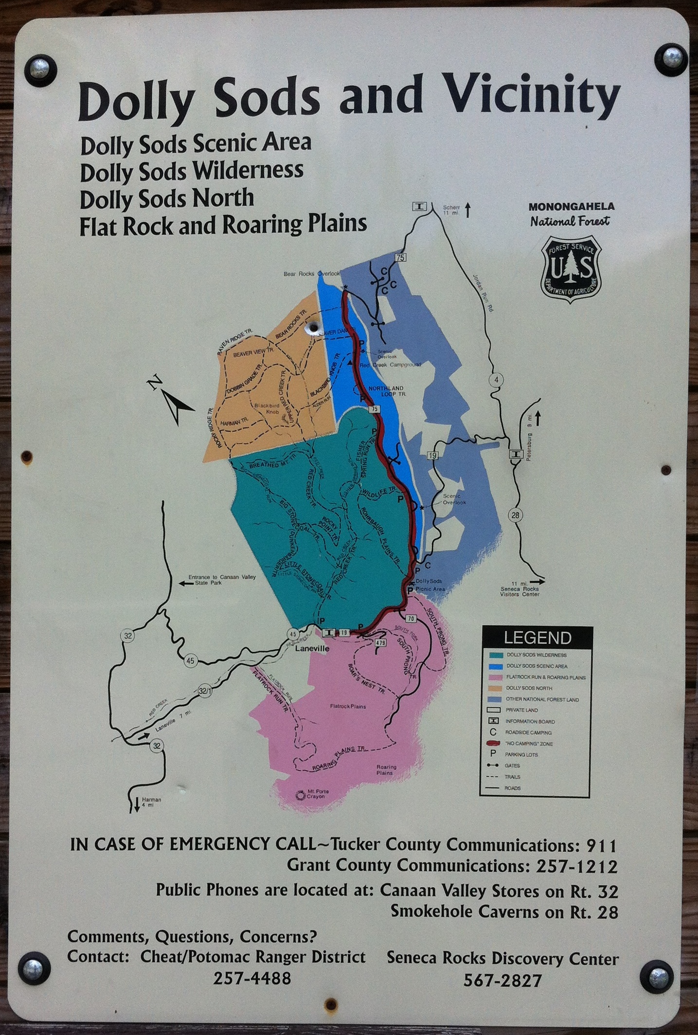
Mount Porte Crayon
No list classifications
Elevation
1,452
m
4,764 ft
Prominence
485 m
Isolation
—
Coordinates
38.9290° N,
79.4562° W
Grid ref
—
Description
WikipediaMount Porte Crayon is a mountain in the Roaring Plains Wilderness of the Monongahela National Forest in the northeastern corner of Randolph County, West Virginia, USA. It rises to an elevation of 4,770 feet (1,450 m), the elevational climax of the Allegheny Front. The mountain is named for 19th century writer and illustrator David Hunter Strother (1816–88), known as "Porte Crayon" (French, porte-crayon: "pencil/crayon holder"), who produced a wide array of early West Virginia landscapes in his work.
Best months
Hiking score 0–100 · 10-yr climate averagesRows beneath each bar: mean temperature, monthly precipitation. Highest-scoring month in red.
Neighbouring summits
| Name | Elevation | Bearing | Distance |
|---|---|---|---|
| High Mountain | 1,287 m | SW 235° | 2.0 km |
| Haystack Knob | 1,376 m | SE 150° | 3.1 km |
| Green Knob | 1,424 m | S 164° | 3.5 km |