Record SL-669362 · Wikidata Q97355941
Wild Goat Peak
No list classifications
Elevation
1,923
m
6,309 ft
Prominence
166 m
Isolation
3.1 km
Coordinates
47.5523° N,
121.3346° W
Grid ref
—
Description
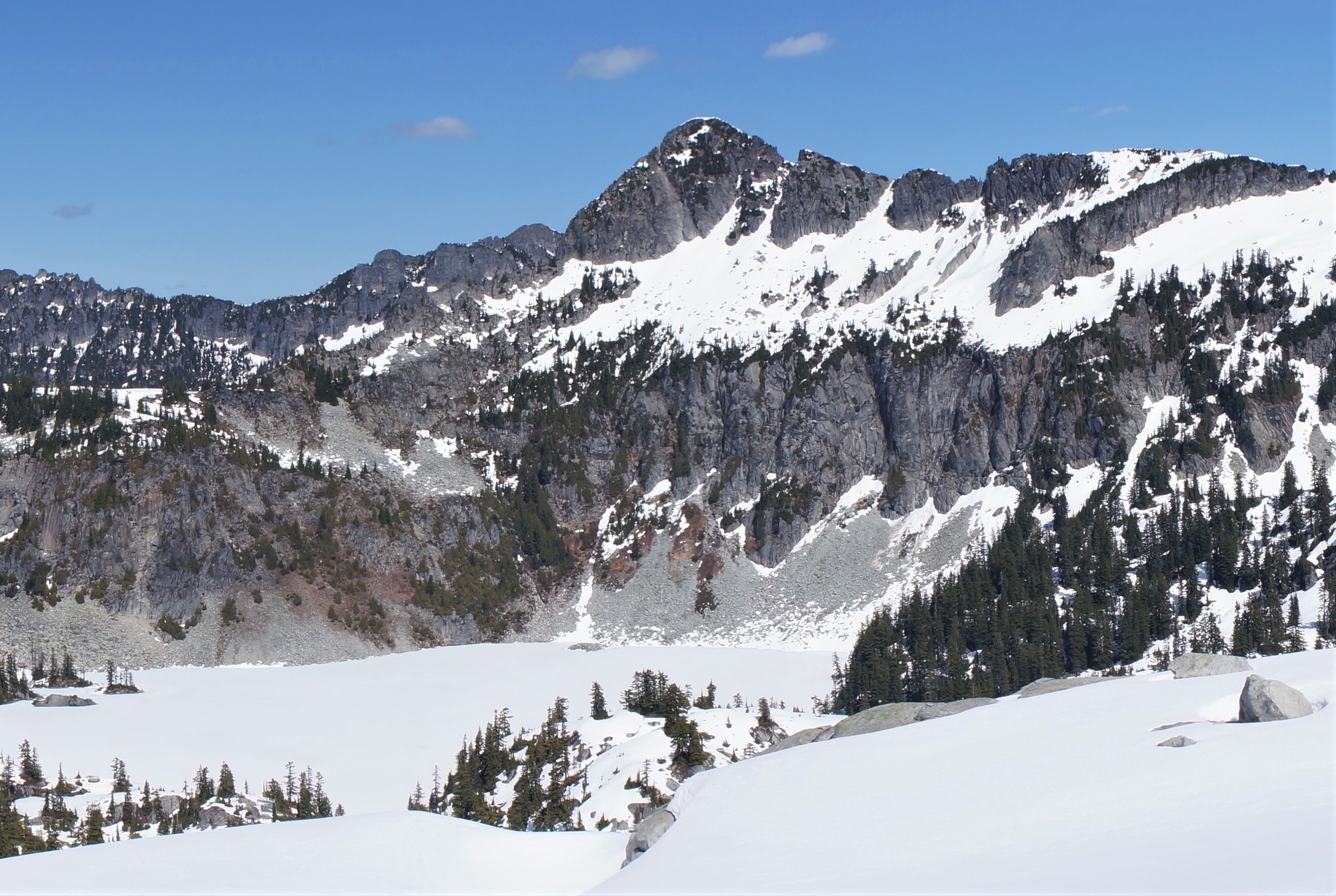
WikipediaWild Goat Peak is a 6,305-foot (1,922-metre) mountain summit located above the eastern shore of Gold Lake, in eastern King County of Washington state. It's part of the Cascade Range, and is situated in the Alpine Lakes Wilderness, on land managed by Mount Baker-Snoqualmie National Forest. Precipitation runoff from the mountain drains into tributaries of the Snoqualmie and Skykomish Rivers. The nearest higher neighbor is Big Snow Mountain, 1.91 mi (3.07 km) to the southwest. This peak was once called "Big Snowy".
Best months
Hiking score 0–100 · 10-yr climate averagesRows beneath each bar: mean temperature, monthly precipitation. Highest-scoring month in red.
Neighbouring summits
| Name | Elevation | Bearing | Distance |
|---|---|---|---|
| Tourmaline Peak | 1,903 m | NE 41° | 1.3 km |
| Camp Robber Peak | 1,916 m | N 5° | 2.1 km |
| Big Snow Mountain | 2,036 m | SW 230° | 3.1 km |
| Atrium Peak | 1,633 m | NE 30° | 3.3 km |
| Saint Agnes Ridge | 1,691 m | NE 48° | 3.6 km |
| Iron Cap Mountain | 1,935 m | E 87° | 3.7 km |
Climbing routes
nearest first| Route | Area | Grade | From summit |
|---|---|---|---|
| East Face | Chimney Rock | 3+ | 6.0 km |
| Northwest Face | Little Big Chief | 5c | 6.4 km |
| Northeast Face | Little Big Chief | 1 | 6.4 km |
| West Face | Huckleberry Mountain | 4c | 8.7 km |
| West Ridge | Mount Thomson | 4c | 9.1 km |
| East Ridge | Mount Thomson | 1 | 9.1 km |