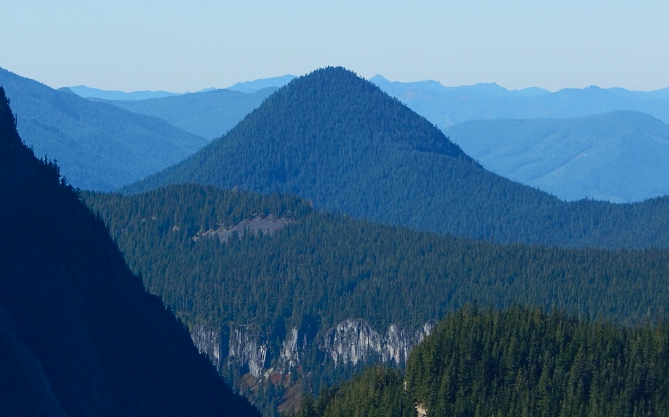
Tumtum Peak is a 4,678-foot-elevation (1,426-meter) mountain summit located in the southwest corner of Mount Rainier National Park, in Pierce County of Washington state. This top-to-bottom forested peak is part of the Cascade Range and lies 8.7 mi (14.0 km) southwest of the summit of Mount Rainier. The nearest higher neighbor is Mount Wow, 2.2 mi (3.5 km) to the northwest, and Iron Mountain rises 3.56 mi (5.73 km) to the northeast. Precipitation runoff from Tumtum Peak is drained by Tahoma Creek on the west side of the mountain, whereas Kautz Creek drains the east side, and both are tributaries of the Nisqually River. The Road to Paradise traverses the southern base of the peak shortly after visitors to the park enter via the Nisqually Entrance. Topographic relief is significant as the southwest aspect rises nearly 2,500 feet (760 meters) above the road in one mile.
Best months
Hiking score 0–100 · 10-yr climate averages
Rows beneath each bar: mean temperature, monthly precipitation. Highest-scoring month in red.