Tatie Peak
Description
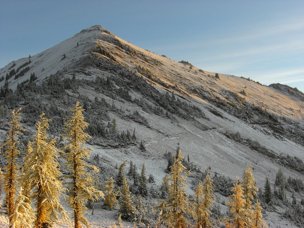
WikipediaTatie Peak is a 7,386-foot (2,251-metre) mountain summit located on the shared border between Okanogan County and Whatcom County in Washington state. It is part of the Okanogan Range, which is a sub-range of the North Cascades. The mountain is situated 2.6 miles (4.2 km) east of Mount Ballard, and 3.3 miles (5.3 km) south of Slate Peak, on land managed by the Okanogan–Wenatchee National Forest. The nearest higher neighbor is Syncline Mountain, 0.8 miles (1.3 km) to the south-southwest. The Pacific Crest Trail traverses the south slope of the peak, with an easy off-trail scramble to reach the summit. Precipitation runoff from Tatie Peak drains south into Trout Creek which is a tributary of the Methow River, or northwest into Slate Creek, which is part of the Skagit River drainage basin.
First ascent
Best months
Hiking score 0–100 · 10-yr climate averagesNeighbouring summits
| Name | Elevation | Bearing | Distance |
|---|---|---|---|
| Syncline Mountain | 2,306 m | SW 211° | 1.3 km |
| Cone Mountain | 2,257 m | E 101° | 1.6 km |
| Harts Pass Peak | 2,081 m | NE 39° | 2.8 km |
| Grasshopper Peak | 2,172 m | S 196° | 3.7 km |
| Tedium Peak | 2,156 m | S 183° | 4.0 km |
| Mount Ballard | 2,512 m | W 257° | 4.2 km |