Record SL-669056 · Wikidata Q49076630
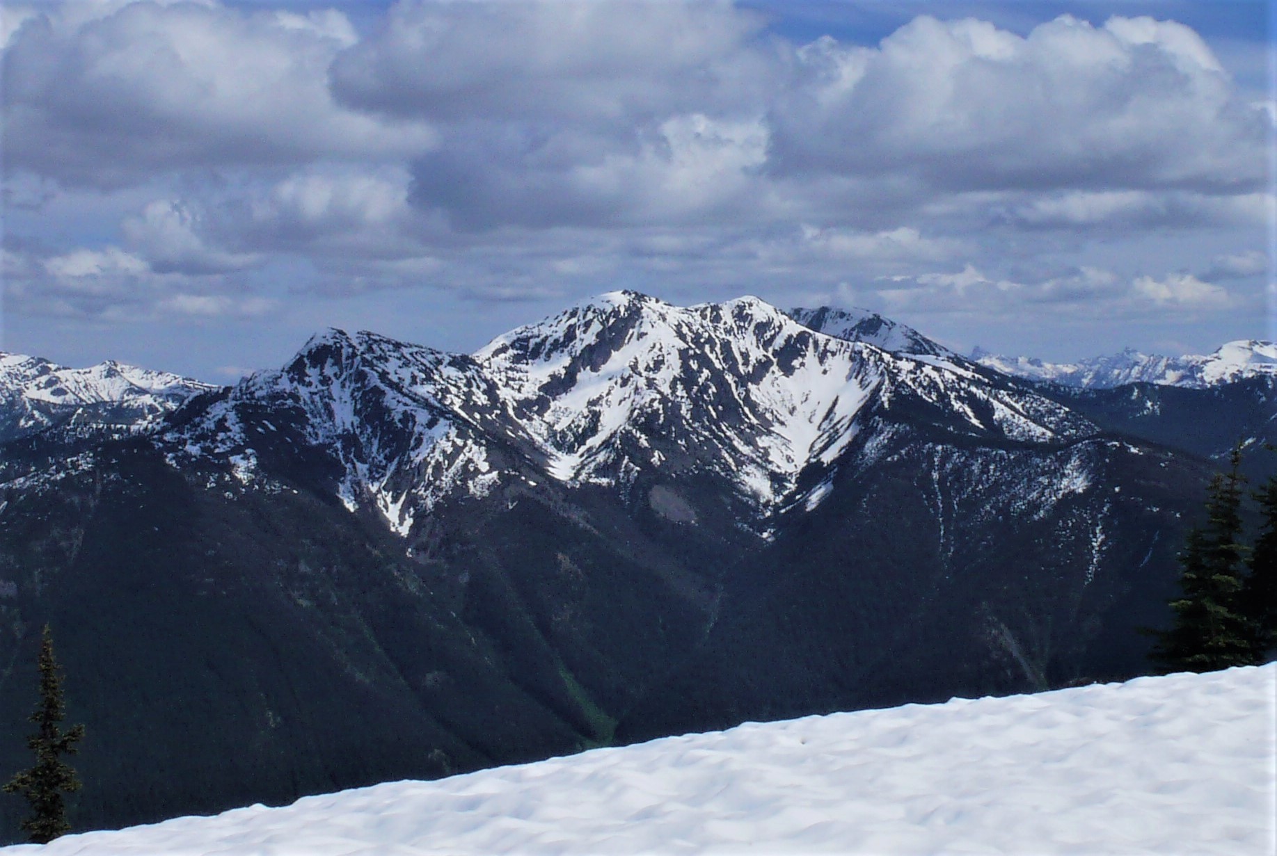
Spratt Mountain
No list classifications
Elevation
2,176
m
7,139 ft
Prominence
237 m
Isolation
3.0 km
Coordinates
48.8590° N,
120.9479° W
Grid ref
—
Description
WikipediaSpratt Mountain is a 7,258-foot (2,212-metre) mountain summit located in the North Cascades, in Whatcom County of Washington state. It is situated on the western side of the Cascade crest, at the western edge of the Pasayten Wilderness, on land managed by the Okanogan–Wenatchee National Forest. Spratt Mountain is part of the Hozameen Range, a subset of the North Cascades which also includes Skagit Peak four miles to the north, and Jack Mountain six miles to the south. Precipitation runoff from this mountain drains into Ross Lake via Three Fools Creek and Dry Creek.
Best months
Hiking score 0–100 · 10-yr climate averagesRows beneath each bar: mean temperature, monthly precipitation. Highest-scoring month in red.
Neighbouring summits
| Name | Elevation | Bearing | Distance |
|---|---|---|---|
| Bear Skull Mountain | 2,234 m | SE 157° | 3.0 km |
| Devils Dome | 2,123 m | SE 150° | 4.5 km |