Record SL-668997 · Wikidata Q49072285
Sentinel Peak
No list classifications
Elevation
2,009
m
6,591 ft
Prominence
199 m
Isolation
3.2 km
Coordinates
47.7784° N,
123.3427° W
Grid ref
—
Description
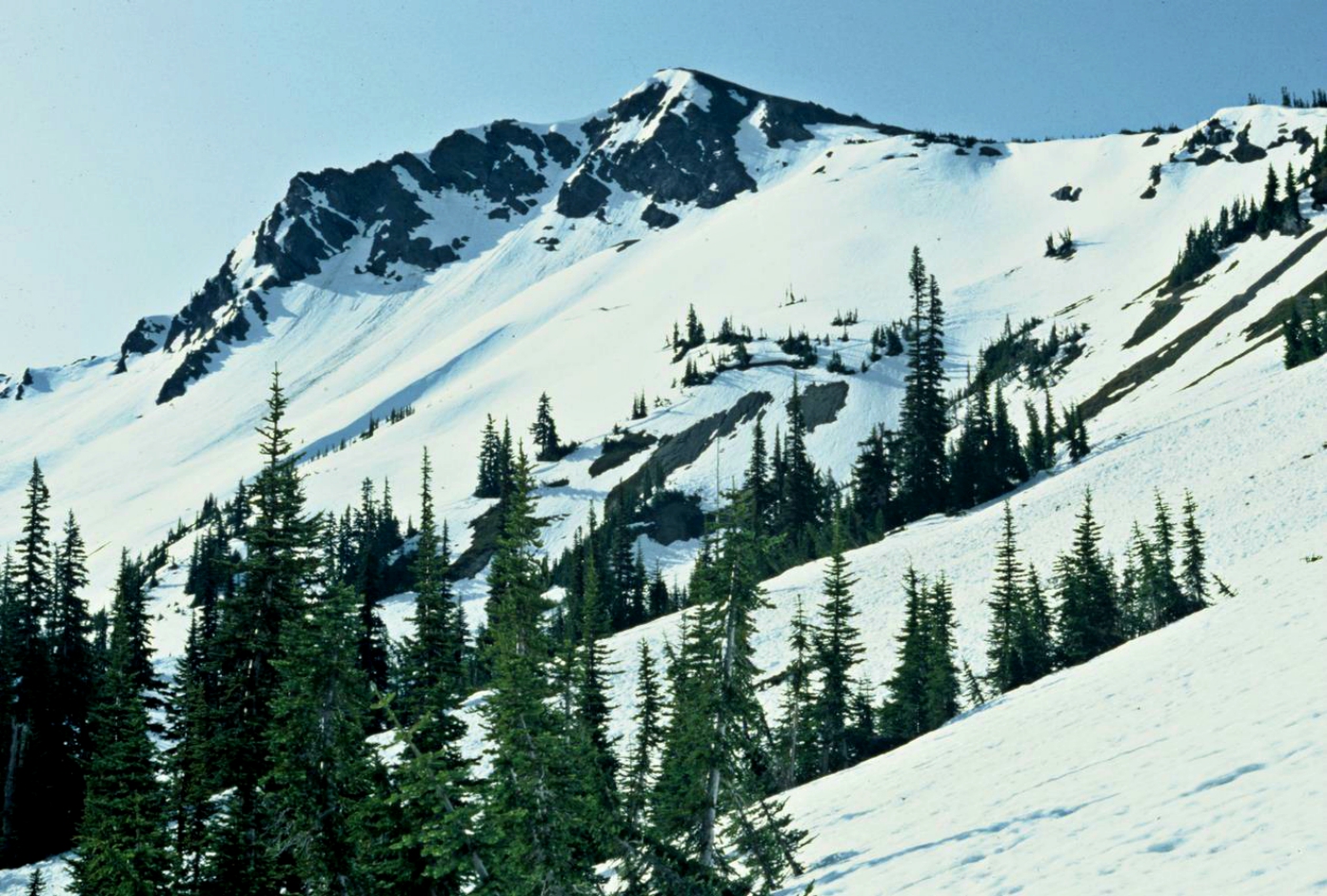
WikipediaSentinel Peak is a 6,592-foot-high (2,009 m) mountain summit located in the Olympic Mountains, in Jefferson County of Washington state. Rising in the center of Olympic National Park, its nearest higher neighbor is Mount Fromme, 1.42 miles (2.29 km) to the northwest. Sentinels Sister is a lower 6,301-foot-high (1,921 m) companion summit situated 0.65 miles (1.05 km) to the southwest. The two peaks stand as sentinels above the Dosewalips Valley and Hayden Pass, and were possibly named by an early expedition of the Seattle Mountaineers. Precipitation runoff from the peak drains to Hood Canal via the Dosewallips River.
Best months
Hiking score 0–100 · 10-yr climate averagesRows beneath each bar: mean temperature, monthly precipitation. Highest-scoring month in red.
Neighbouring summits
| Name | Elevation | Bearing | Distance |
|---|---|---|---|
| Sentinels Sister | 1,921 m | SW 210° | 1.2 km |
| Mount Fromme | 2,044 m | NW 319° | 2.2 km |
| Mount Claywood | 2,084 m | NW 321° | 3.2 km |
| Lost Peak | 1,923 m | N 7° | 3.9 km |
| Wellesley Peak | 2,053 m | E 70° | 4.1 km |
Climbing routes
nearest first| Route | Area | Grade | From summit |
|---|---|---|---|
| Honeymoon Route | Mt Deception | 1- | 9.0 km |