Record SL-669586 · Wikidata Q7296010
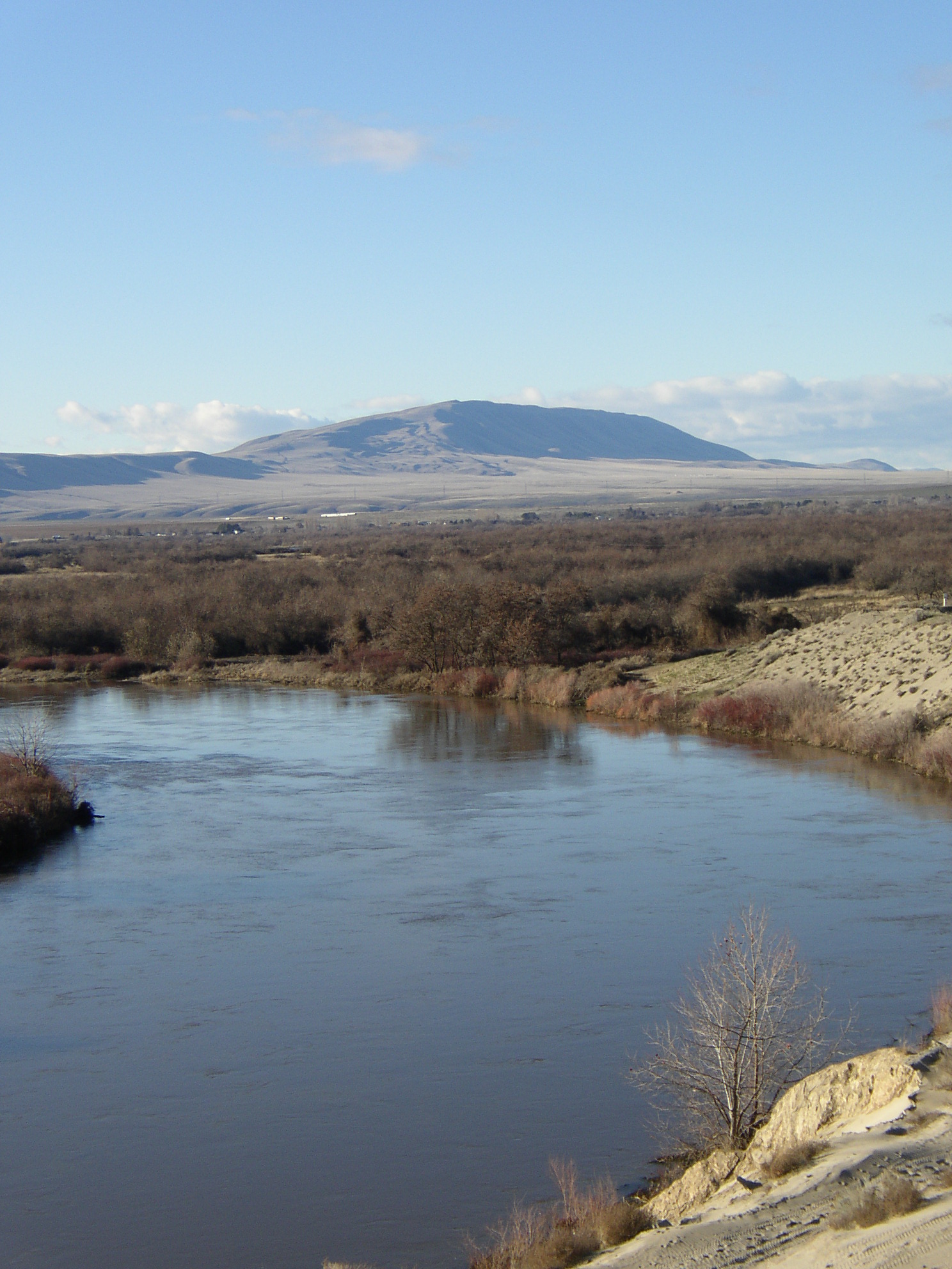
Rattlesnake Mountain
No list classifications
Elevation
1,076
m
3,530 ft
Prominence
256 m
Isolation
2.5 km
Coordinates
46.4065° N,
119.6119° W
Grid ref
—
Description
WikipediaRattlesnake Mountain (Native American name Lalíik meaning "land above the water") is a 3,531 ft (1,060 m) windswept treeless ridge overlooking the Hanford nuclear site. Parts of the western slope are privately owned ranchland, while the eastern slope is under the federal protection of the Arid Lands Ecology Reserve, a unit of the Hanford Reach National Monument, managed by the United States Fish and Wildlife Service. The mountain is the second highest point in Benton County, with its neighbor Lookout Summit surpassing it by only 98 ft (30 m). Rattlesnake Mountain is notable for its high wind speeds, with the highest recorded being around 150 mph (241 kilometers per hour).
Best months
Hiking score 0–100 · 10-yr climate averagesRows beneath each bar: mean temperature, monthly precipitation. Highest-scoring month in red.