Record SL-669081 · Wikidata Q6923888
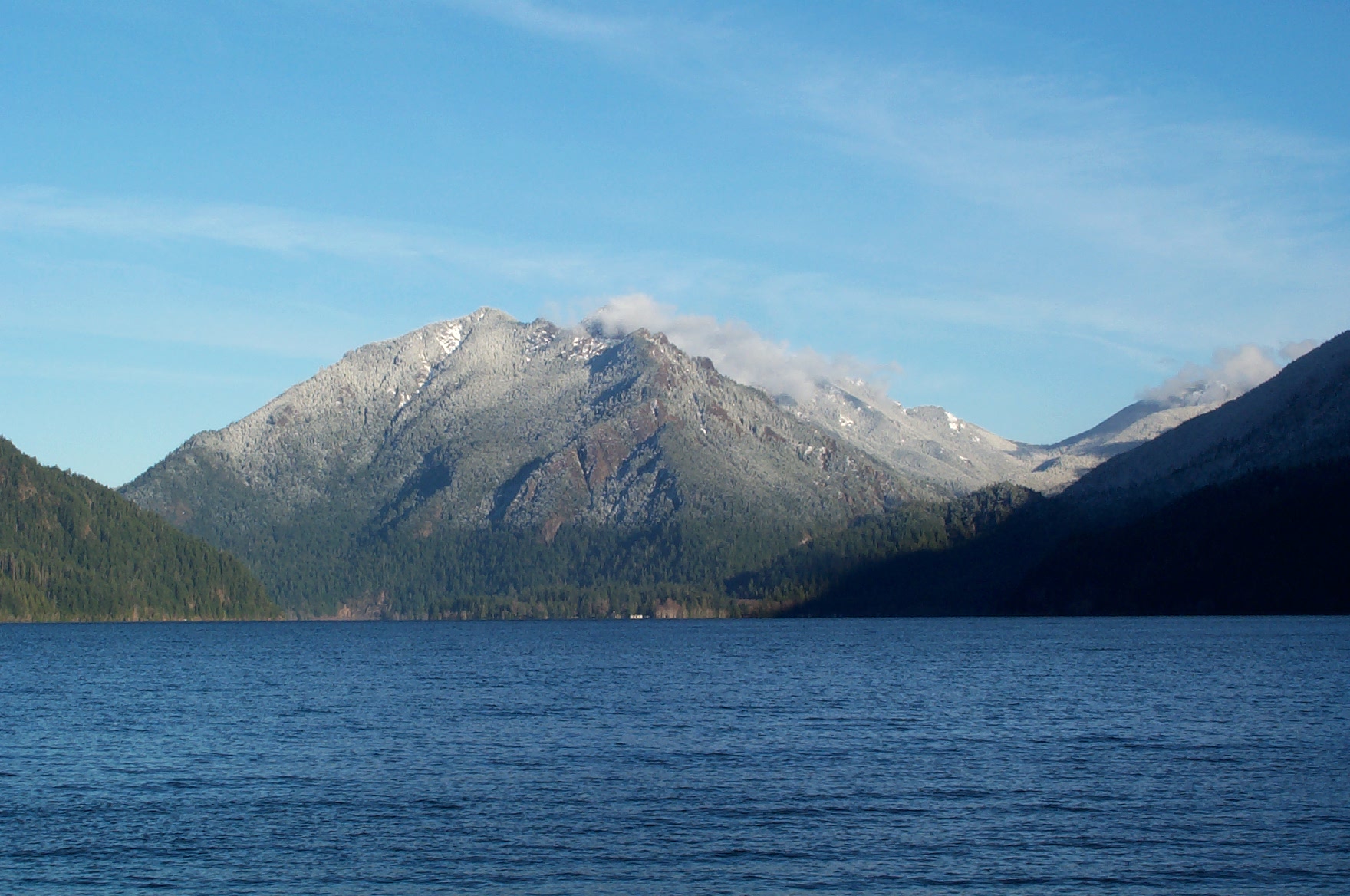
Mount Storm King
No list classifications
Elevation
1,383
m
4,537 ft
Prominence
—
Isolation
—
Coordinates
48.0554° N,
123.7408° W
Grid ref
—
Description
WikipediaMount Storm King is located within the Olympic National Park about 20 miles (32 km) west of Port Angeles, Washington, in the United States. The mountain is located on the south side of Lake Crescent near Barnes Point, and has an elevation of 4,500+ feet (1,370+ m). The trail to the summit starts near the Storm King Ranger Station, and initially follows the trail to Marymere Falls but branches to the north after a short distance. The first 1.9 miles (3.1 km) is on maintained trail but the rest of the climb involves scrambling on loose rock with some exposure.
Best months
Hiking score 0–100 · 10-yr climate averagesRows beneath each bar: mean temperature, monthly precipitation. Highest-scoring month in red.
Neighbouring summits
| Name | Elevation | Bearing | Distance |
|---|---|---|---|
| Happy Lake Ridge-West Peak | 1,570 m | S 190° | 4.2 km |
Climbing routes
nearest first| Route | Area | Grade | From summit |
|---|---|---|---|
| Dynazty | EZPZ | V4 | 3.4 km |
| Zarete | EZPZ | V2 | 3.4 km |
| Pebble Punch | EZPZ | V1 | 3.4 km |
| Fruity Pebbles | EZPZ | V1 | 3.4 km |
| Pebble Pinch | EZPZ | V0 | 3.4 km |
| Dizlocator | EZPZ | V5 | 3.4 km |