Description
Wikipedia
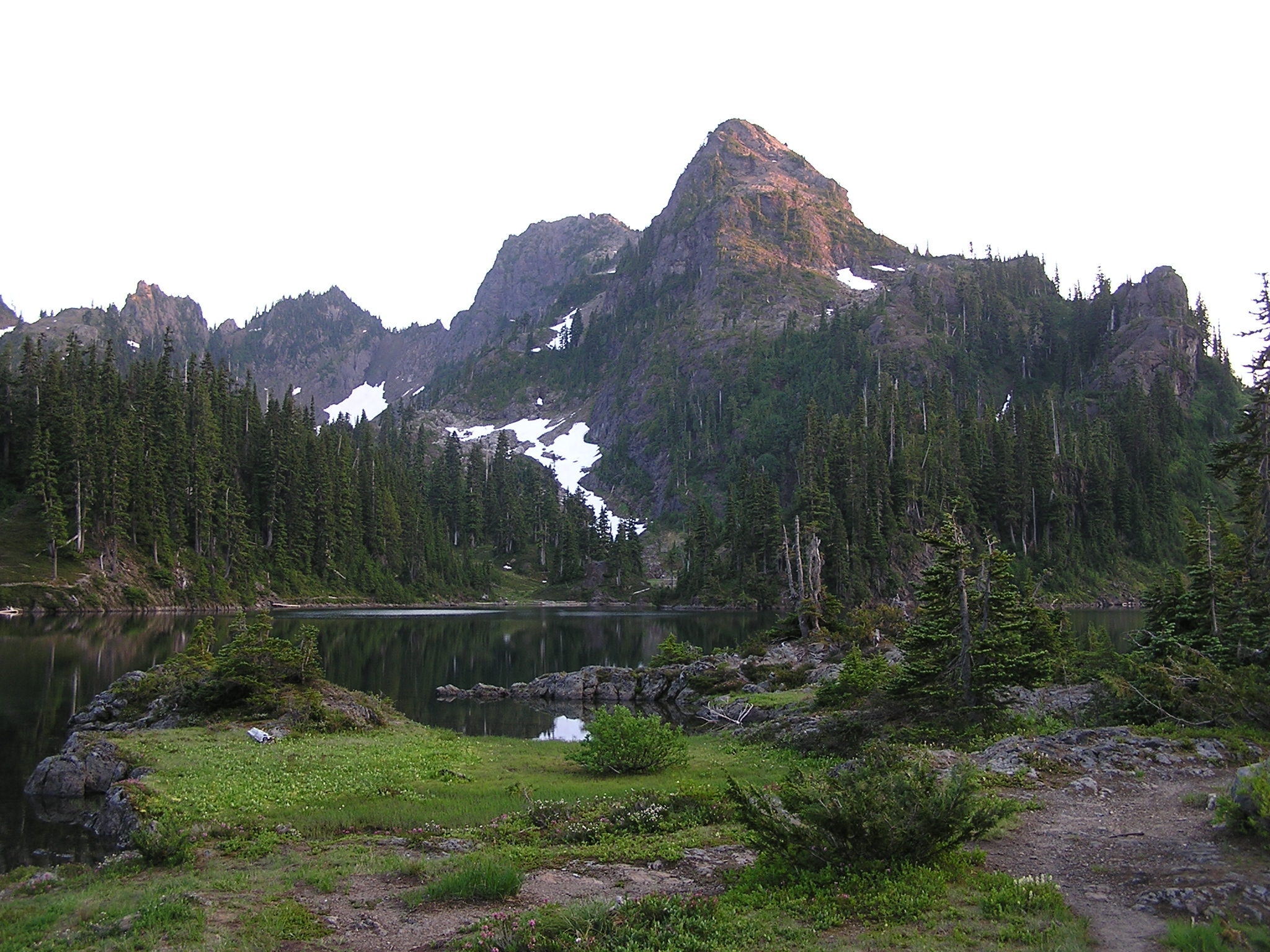
Mount Bretherton is a 5,960-foot-elevation (1,817-meter) mountain summit located in the Olympic Mountains, in Jefferson County of Washington state. It is situated within Olympic National Park, immediately south and 1,400 feet above the shore of Upper Lena Lake. Mount Lena lies across the lake to the north, Mount Stone is 2.8 miles to the west-southwest, and The Brothers approximately four miles to the northeast. Precipitation runoff from the mountain drains south to the Hamma Hamma River via Boulder, Delta, and Lena Creeks. Topographic relief is significant as it rises over 5,100 feet (1,600 meters) above the river in two miles. The non-technical ascent of Mount Bretherton involves hiking eight miles (one-way) and 5,300 feet elevation gain via the Upper Lena Lake Trail and cross-country above the lake, with most favorable conditions from July through September. There are pleasant campsites at the lake, and the ascent to the summit takes two hours from the lake. This mountain's name has been officially adopted by the United States Board on Geographic Names.