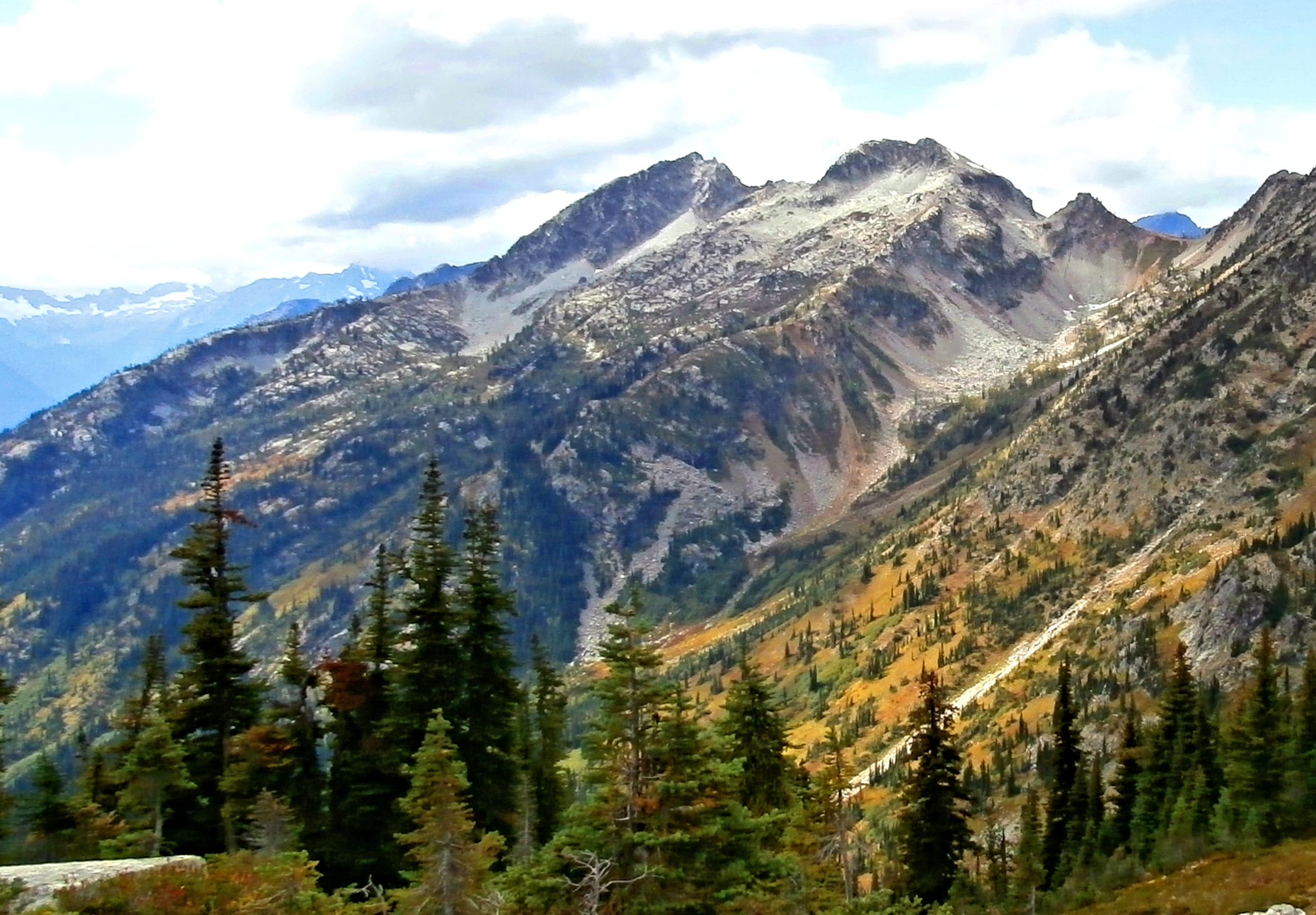
Mount Benzarino is a 7,760+ ft (2,370+ m) mountain summit located in North Cascades National Park, in Chelan County of Washington state. It is situated in the North Cascades, a subset of the Cascade Range. The nearest higher neighbor is Corteo Peak, 1.67 miles (2.69 km) to the northeast, and Black Peak is set 2.34 miles (3.77 km) to the north. Corteo Peak and Mount Benzarino were named by Forest Service surveyor, Lage Wernstedt, for the names of Basque sheepherders he met near these two mountains. Lage Wernstedt made the first ascent of Benzarino in 1926. Remnants of a small glacier hang on its north flank, and precipitation runoff from the mountain drains into tributaries of Bridge Creek, which in turn is a tributary of the Stehekin River.
First ascent
Date
1926
Lage WernstedtBeckey, Fred W. Cascade Alpine Guide, Climbing and High Routes. Seattle, WA: Mountaineers Books
Source · wikipedia
Best months
Hiking score 0–100 · 10-yr climate averages
Rows beneath each bar: mean temperature, monthly precipitation. Highest-scoring month in red.