Ingalls Peak
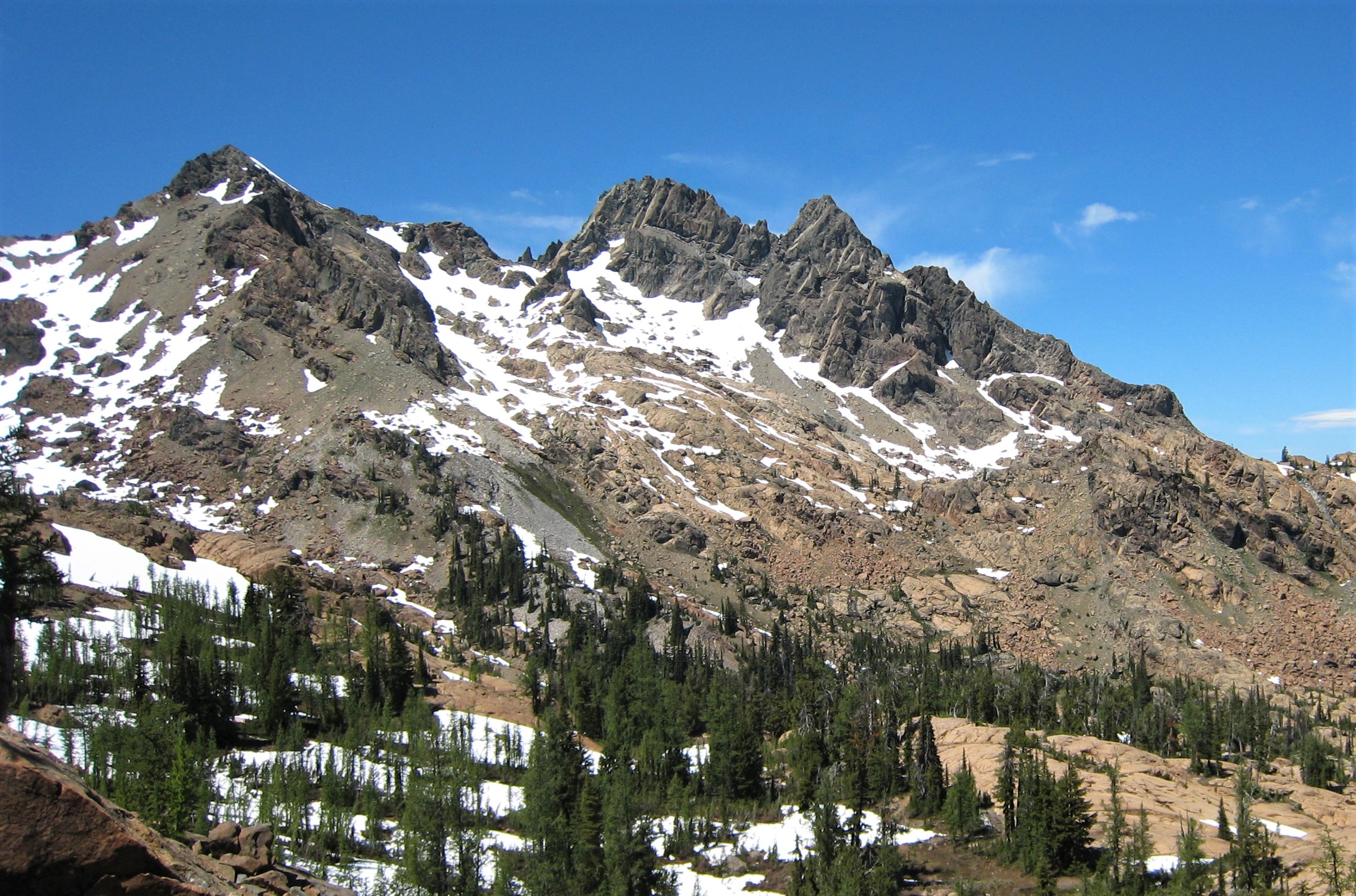
Description
WikipediaIngalls Peak is a 7,662-foot (2,335-metre) triple-summit mountain located in the Alpine Lakes Wilderness, along the common border of Kittitas County and Chelan County, in Washington state. Ingalls Peak is the highest point in the Teanaway area of the Wenatchee Mountains. It is situated 2 mi (3.2 km) west of Mount Stuart, and immediately west of Lake Ingalls, on land managed by Wenatchee National Forest. Its subpeaks are the South Peak (7,640 ft; 2,330 m) and the East Peak (7,480 ft; 2,280 m). Precipitation runoff from the peak drains north into Jack Creek, a tributary of Icicle Creek; west into Fortune Creek; or east into Ingalls Creek, a tributary of the Wenatchee River. This peak, the lake, creek, and pass are named for Captain Benjamin Ingalls of the United States Cavalry who led an 1855 survey of this area and is credited with discovering gold in the region.
First ascent
Best months
Hiking score 0–100 · 10-yr climate averagesNeighbouring summits
| Name | Elevation | Bearing | Distance |
|---|---|---|---|
| East Ingalls Peak | 2,280 m | E 86° | 0.2 km |
| Fortune Peak | 2,250 m | SW 205° | 1.2 km |
| Small Fortune | 2,015 m | SW 236° | 1.8 km |
| Mount Stuart | 2,871 m | E 85° | 3.3 km |
| Esmeralda Peak - West Peak | 1,974 m | S 187° | 3.8 km |
| Gallaher Head | 1,965 m | SW 226° | 4.1 km |
Climbing routes
nearest first| Route | Area | Grade | From summit |
|---|---|---|---|
| East Ridge | Ingalls Peak | 5a | 16 m |
| South Ridge | Ingalls Peak | 4a | 16 m |
| Got your nuts | Lake Ingalls Outcrop | 5a | 736 m |
| My Daily Shame | Lake Ingalls Outcrop | 6a | 736 m |
| More Fun Than I Thought | Headlight Playground | 3 | 1.4 km |
| West Ridge | Mt Stuart | 4c | 3.4 km |
| Upper North Ridge w/Great Gendarme | Mt Stuart | 5c | 3.4 km |
| South Headwall | Mt Stuart | 5a | 3.4 km |
| Gorillas in the Mist | Mt Stuart | 6c | 3.4 km |
| Stuart Glacier Couloir | Mt Stuart | 5.7 | 3.4 km |
| King Kong - Gorillas Direct Direct | Mt Stuart | 7a | 3.4 km |
| Sherpa Glacier | Mt Stuart | 1 | 3.4 km |
| The Direct North Ridge w/ Gendarme | Mt Stuart | 5c | 3.4 km |
| Cascadian Couloir | Mt Stuart | 1- | 3.4 km |
| Girth Pillar | Mt Stuart | 6c | 3.4 km |
| Gorillas Direct | Mt Stuart | 6b+ | 3.4 km |
| North Ridge | Sherpa Peak | 5b | 4.4 km |
| West Ridge | Sherpa Peak | 4a | 4.4 km |
| South Face | Argonaut Peak | 3+ | 6.4 km |
| Northwest Arete | Argonaut Peak | 4c | 6.4 km |
| West Face | Flagpole, The | 5a | 6.8 km |
| Northeast Buttress | Colchuck Peak | 5b | 7.5 km |
| Colchuck Glacier | Colchuck Peak | 1- | 7.5 km |
| Der Dihedral | Dragontail Peak | 5c | 8.5 km |
| Backbone Ridge | Dragontail Peak | 5c | 8.5 km |