Record SL-667546 · Wikidata Q49038128
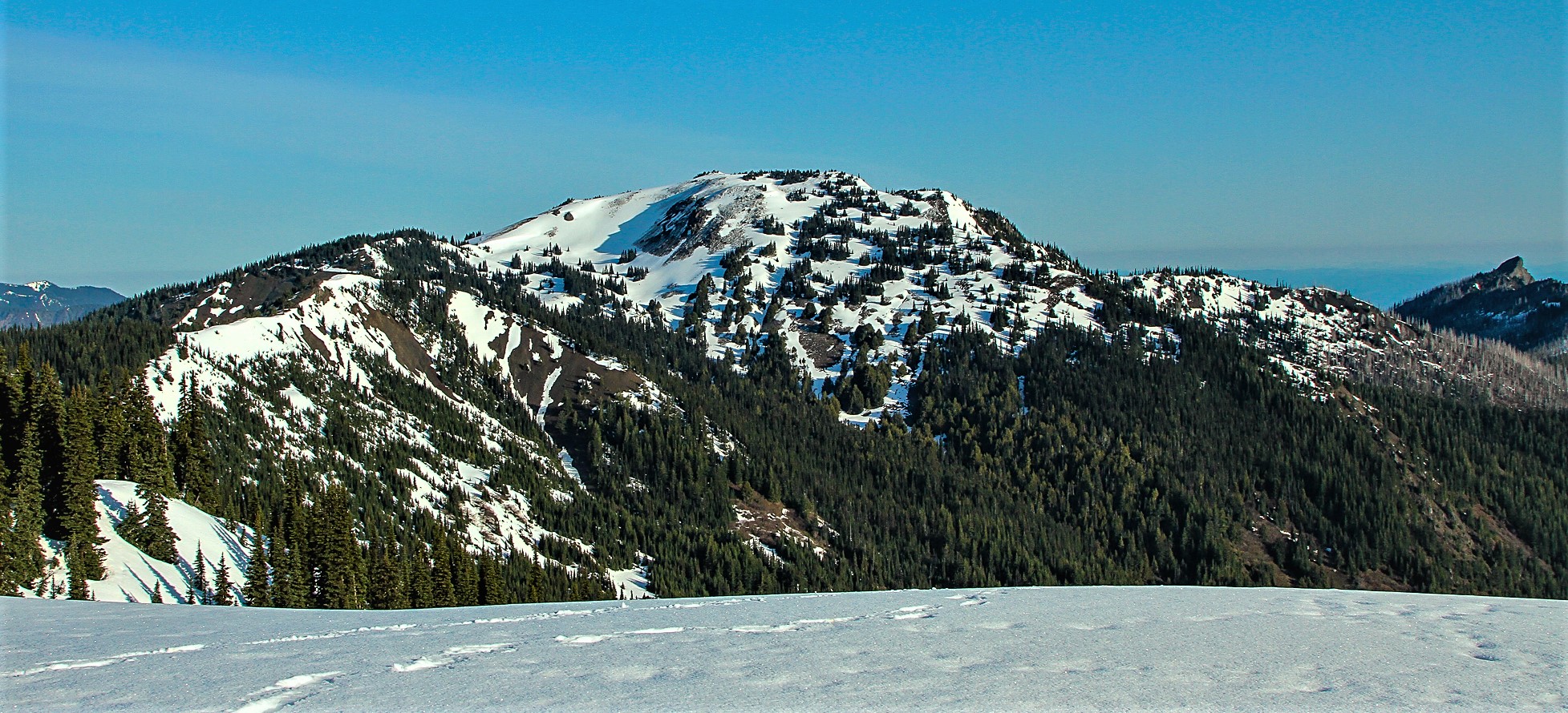
Hurricane Hill
No list classifications
Elevation
1,757
m
5,764 ft
Prominence
215 m
Isolation
4.7 km
Coordinates
47.9903° N,
123.5291° W
Grid ref
—
Description
WikipediaHurricane Hill is a 5,757-foot (1,755 m) mountain summit located within Olympic National Park in Clallam County of Washington state. It is part of the Olympic Mountains and is situated at the western end of Hurricane Ridge within the Daniel J. Evans Wilderness. Hurricane Hill is nine miles south-southwest of Port Angeles and two miles northwest of the park's Hurricane Ridge Visitor Center. Precipitation runoff from the mountain drains to the Elwha River via various tributaries. Topographic relief is significant as the southwest aspect rises 5,100 feet (1,600 m) above the Elwha Valley in three miles.
Best months
Hiking score 0–100 · 10-yr climate averagesRows beneath each bar: mean temperature, monthly precipitation. Highest-scoring month in red.
Neighbouring summits
| Name | Elevation | Bearing | Distance |
|---|---|---|---|
| Griff Peak | 1,560 m | NE 42° | 2.1 km |
| Unicorn Peak | 1,553 m | N 13° | 2.3 km |
| Lost Cabin Mountain | 1,212 m | S 158° | 4.5 km |
| Mount Angeles | 1,968 m | E 83° | 4.6 km |
Climbing routes
nearest first| Route | Area | Grade | From summit |
|---|---|---|---|
| Wings | Steeple Rock | 5b | 6.4 km |
| North Ridge | Steeple Rock | 1+ | 6.4 km |
| Direct Finish | Steeple Rock | 3 | 6.4 km |
| East Ridge | Steeple Rock | 1+ | 6.4 km |