Record SL-667434 · Wikidata Q49027347
Eightmile Mountain
No list classifications
Elevation
2,437
m
7,996 ft
Prominence
291 m
Isolation
4.8 km
Coordinates
47.5322° N,
120.8974° W
Grid ref
—
Description
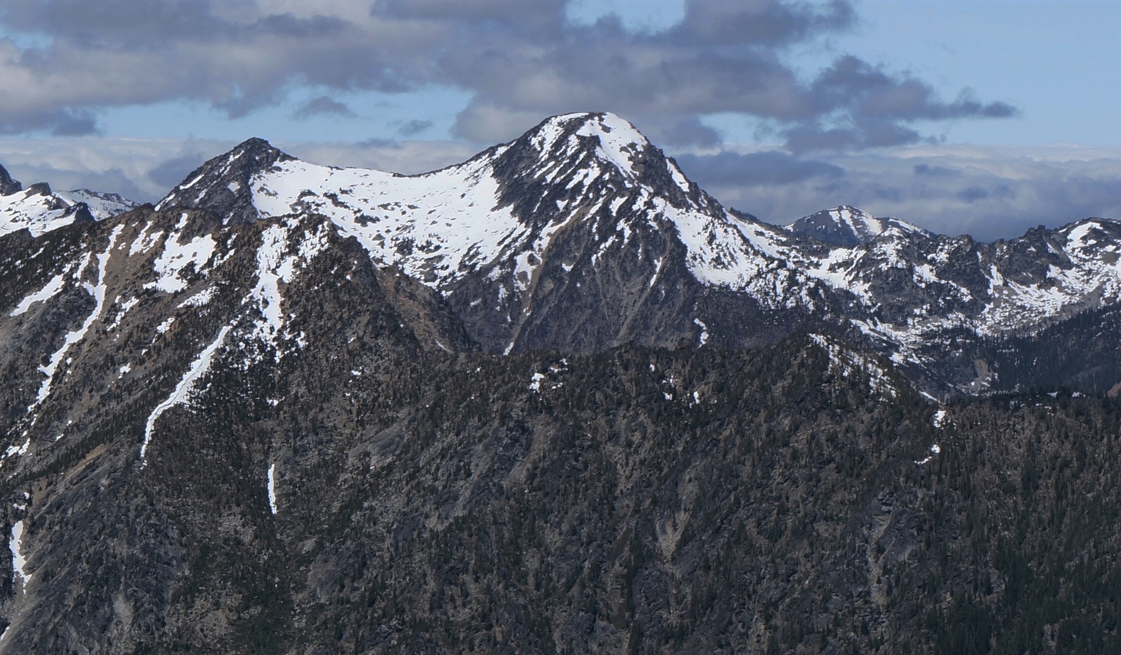
WikipediaEightmile Mountain is a 7,996-foot (2,437-metre) mountain summit located in Chelan County of Washington state. Eightmile Mountain is situated within the Alpine Lakes Wilderness, on land managed by the Okanogan–Wenatchee National Forest. It is part of the Wenatchee Mountains which are a subset of the Cascade Range. Its nearest higher neighbor is Cashmere Mountain, 3 mi (4.8 km) to the northeast, and Mount Stuart rises 4 mi (6.4 km) to the south. Precipitation runoff from the mountain drains into Trout Creek and Eightmile Creek, both tributaries of Icicle Creek, which in turn is a tributary of the Wenatchee River. This mountain is known for its spring skiing and excellent view of the Stuart Range.
Best months
Hiking score 0–100 · 10-yr climate averagesRows beneath each bar: mean temperature, monthly precipitation. Highest-scoring month in red.
Neighbouring summits
| Name | Elevation | Bearing | Distance |
|---|---|---|---|
| Cashmere Mountain | 2,595 m | NE 52° | 4.8 km |
Climbing routes
nearest first| Route | Area | Grade | From summit |
|---|---|---|---|
| West Face | Flagpole, The | 5a | 5.8 km |
| West Ridge | Mt Stuart | 4c | 6.1 km |
| Upper North Ridge w/Great Gendarme | Mt Stuart | 5c | 6.1 km |
| South Headwall | Mt Stuart | 5a | 6.1 km |
| Gorillas in the Mist | Mt Stuart | 6c | 6.1 km |
| Stuart Glacier Couloir | Mt Stuart | 5.7 | 6.1 km |
| King Kong - Gorillas Direct Direct | Mt Stuart | 7a | 6.1 km |
| Sherpa Glacier | Mt Stuart | 1 | 6.1 km |
| The Direct North Ridge w/ Gendarme | Mt Stuart | 5c | 6.1 km |
| Cascadian Couloir | Mt Stuart | 1- | 6.1 km |
| Girth Pillar | Mt Stuart | 6c | 6.1 km |
| Gorillas Direct | Mt Stuart | 6b+ | 6.1 km |
| North Ridge | Sherpa Peak | 5b | 6.8 km |
| West Ridge | Sherpa Peak | 4a | 6.8 km |
| East Face | Jaberwocky Tower | 4c | 7.1 km |
| Northeast Buttress | Colchuck Peak | 5b | 7.3 km |
| Colchuck Glacier | Colchuck Peak | 1- | 7.3 km |
| Northwest Arete | Argonaut Peak | 4c | 7.4 km |
| South Face | Argonaut Peak | 3+ | 7.4 km |
| The Tipping Point | Colchuck Balanced Rock | 7b+ | 7.5 km |
| West Face | Colchuck Balanced Rock | 7a | 7.5 km |
| The Balanced Rock | Colchuck Balanced Rock | — | 7.5 km |
| Colchuck Balanced Rock Col (East Lake Side Approch) | Colchuck Balanced Rock | 1- | 7.5 km |
| Scarface | Colchuck Balanced Rock | 6b+ | 7.5 km |
| NW Ridge | Colchuck Balanced Rock | 5.6 | 7.5 km |