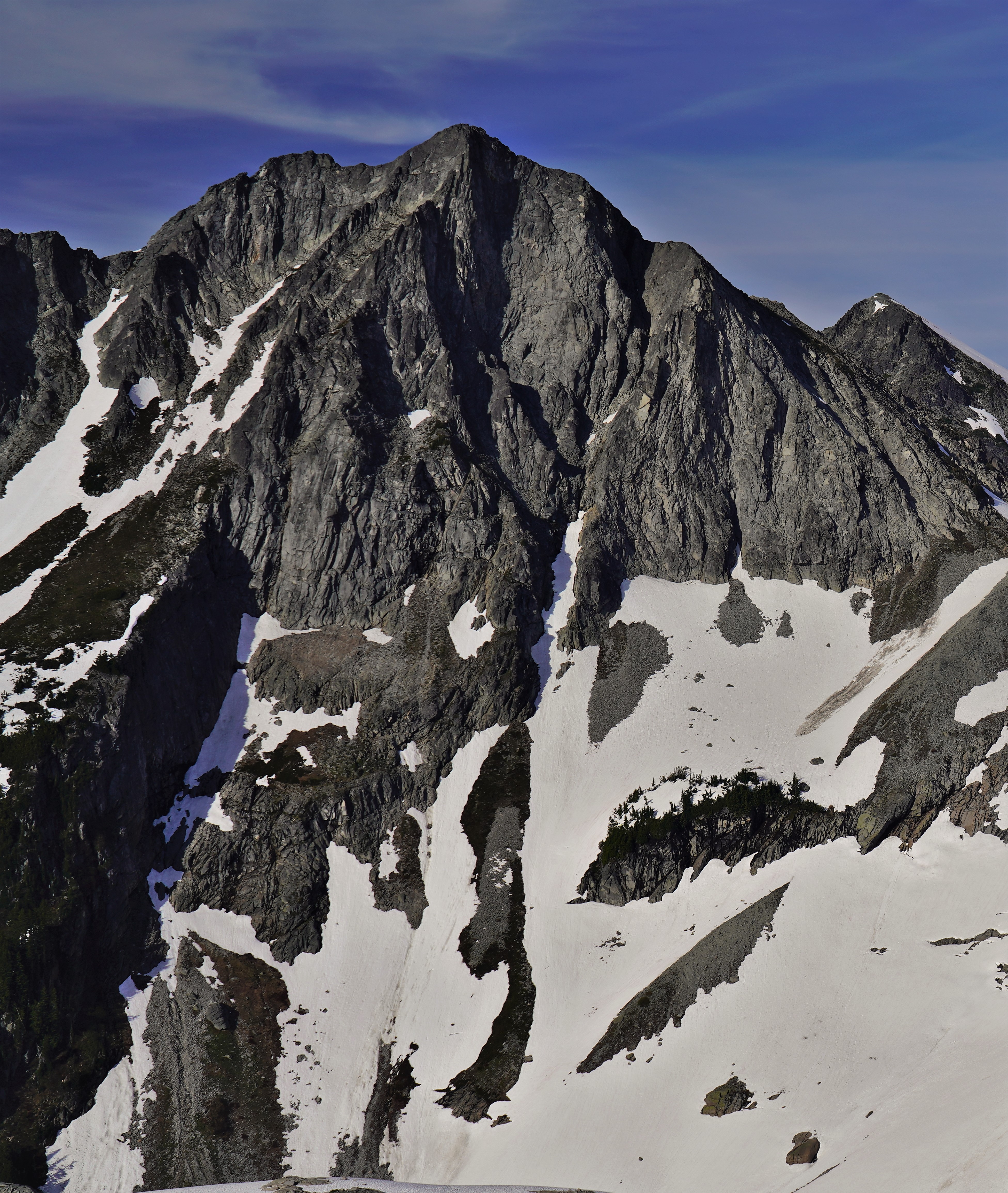
Dip Top Peak is a 7,291-foot-elevation (2,222-meter) mountain summit located in the Alpine Lakes Wilderness in eastern King County of Washington state. It is part of the Cascade Range and is set on land managed by Mount Baker-Snoqualmie National Forest. The peak is situated 1.25 mi (2.01 km) north of Mount Daniel, and less than one mile south of Jade Lake. Precipitation runoff from the mountain drains into East Fork Foss River, which is a tributary of the Skykomish River. The summit saddle has two rock horns, of which the higher southwest peak is the true summit. The first ascent was made August 1950 by Bill and Gene Prater. In the early 1970s, brothers Gene and Bill Prater created the modern aluminum snowshoe known today, and sold them via Bill's "Sherpa Snowshoes" company, which proved very popular.
First ascent
Date
1950
Source · wikipedia
Best months
Hiking score 0–100 · 10-yr climate averages
Rows beneath each bar: mean temperature, monthly precipitation. Highest-scoring month in red.