Big Craggy Peak
Description
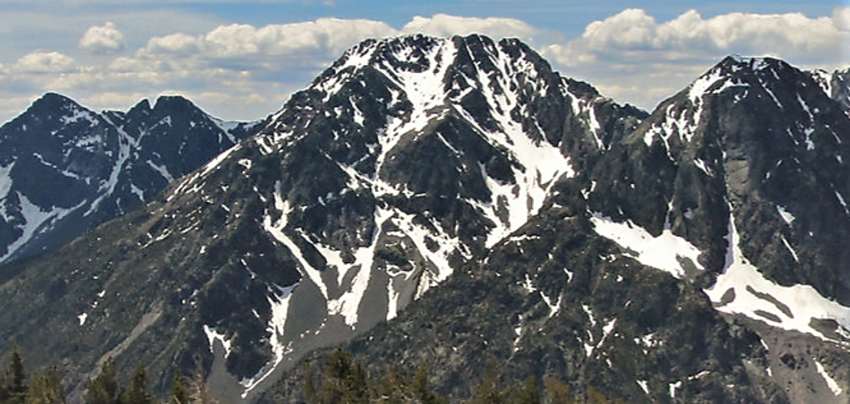
WikipediaBig Craggy Peak is a prominent 8,478-foot (2,584-metre) mountain summit in western Okanogan County of Washington state, USA. It is part of the Okanogan Range which is a subrange of the North Cascades. This remote mountain is located 12.5 mi (20.1 km) north-northeast of Mazama on land administered by the Okanogan–Wenatchee National Forest. Big Craggy has two subsidiary peaks, North Peak (8,205-ft), and West Craggy (8,372-ft), the latter set on the Pasayten Wilderness boundary. The nearest higher peak is Monument Peak, 10 miles (16 km) to the west-northwest. Big Craggy Peak ranks 60th on Washington's highest 100 peaks, and 62nd on the "Bulger List". Precipitation runoff from Big Craggy drains into Eightmile Creek which is a tributary of the Chewuch River. Topographic relief is significant as the summit rises approximately 4,400 feet (1,300 meters) above Eightmile Creek in 1.25 mile (2 km).
Best months
Hiking score 0–100 · 10-yr climate averagesNeighbouring summits
| Name | Elevation | Bearing | Distance |
|---|---|---|---|
| Eightmile Peak | 2,331 m | NW 318° | 2.7 km |
| Sherman Peak | 2,499 m | S 178° | 3.2 km |
| Burch Mountain | 2,361 m | NE 23° | 4.1 km |
| Sunrise Peak | 2,471 m | SW 223° | 4.9 km |