Hawksbill
Description
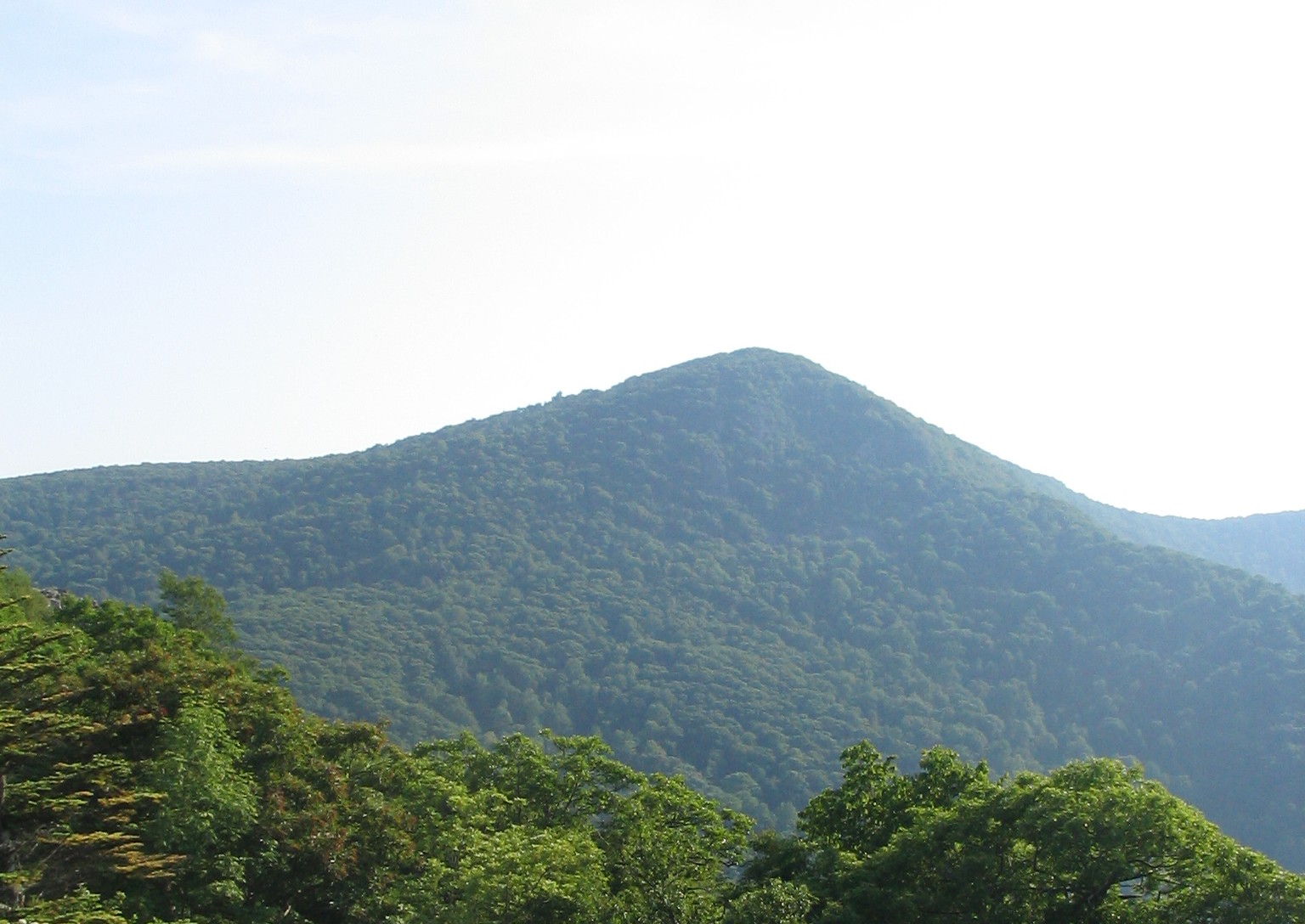
WikipediaHawksbill Mountain is a mountain with an elevation of 4,050 feet (1,234 m). Marking the border between Madison County and Page County in Virginia, the summit of Hawksbill Mountain is the highest point in Shenandoah National Park as well as the highest point in both Madison and Page Counties. The north face of Hawksbill Peak is a 2,500-foot (760 m) drop into Timber Hollow, which is the largest elevation change in the park. The summit is one of the few places in Shenandoah National Park where one can find balsam fir, a tree more typical of northern New England and southeast Canada. The National Park Service has constructed a stone observation platform at the summit. Byrd's Nest No. 2, one of a series of shelters built in the park by Senator Harry Byrd, is nearby. Hawksbill peak is also the site of a peregrine falcon restoration project. The summit of Hawksbill Mountain can be reached by a short hike from a trailhead located at the Upper Hawksbill parking area, just off of Skyline Drive in Shenandoah National Park. A number of other hiking trails lead to the summit of Hawksbill, while the Appalachian Trail goes around and about 500 ft (150 m) in elevation below the summit.
Best months
Hiking score 0–100 · 10-yr climate averagesNeighbouring summits
| Name | Elevation | Bearing | Distance |
|---|---|---|---|
| Nakedtop | 1,138 m | W 285° | 1.1 km |
| Crescent Rock | 1,086 m | NE 57° | 1.2 km |
| Spitler Hill | 1,138 m | S 167° | 1.7 km |
| Betty's Rock | 1,131 m | NE 40° | 1.8 km |
| Tanbark Flat | 881 m | NW 296° | 1.9 km |
| Pollock Knob | 1,086 m | N 15° | 3.1 km |
Routes of ascent
| Route | Network | Distance | Difficulty |
|---|---|---|---|
| Lower Hawksbill Trail | lwn | 1.2 km | — |
| Upper Hawksbill Trail | lwn | 1.6 km | — |
| Hawksbill Fire Road | lwn | 0.1 km | — |
Climbing routes
nearest first| Route | Area | Grade | From summit |
|---|---|---|---|
| This World | Lower Hawksbill Boulder | V3 | 975 m |
| Is Sick | Lower Hawksbill Boulder | V5 | 975 m |
| The Big Wet | Wagonmaster Boulder | V2-3 | 2.5 km |
| El Borracho | Doah Boulder | V3 | 4.1 km |
| Duty | Horseshoe Crag | V2 | 4.1 km |
| Breaking and Entering | Horseshoe Crag | 5b | 4.1 km |
| Logan’s Tradginity | Horseshoe Crag | 4c | 4.1 km |
| Nudy | Horseshoe Crag | 4b | 4.1 km |
| Smoking D | Smoking D Boulder | V4 | 4.1 km |
| Buckingham Green | Smoking D Boulder | V6 | 4.1 km |
| Fluffy | Fluffy Boulder | V1 | 4.1 km |
| Green Goblin | Fluffy Boulder | V2 | 4.1 km |
| Leo Season | Zodiac Boulder | V3 | 4.1 km |
| Cancer Season | Zodiac Boulder | V4 | 4.1 km |
| Locked, Loading | Splitter Boulder | V1-2 | 4.9 km |
| Slab 1 | Shell, The | V0-1 | 4.9 km |
| The Shell | Shell, The | V5 | 4.9 km |
| Spider Hug | Shell, The | V2-3 | 4.9 km |
| Do it for Jon | Shell, The | V7-8 | 4.9 km |
| Where Dragons Dwell (project) | Atlas Boulder | V9-10 | 4.9 km |
| Wyvern | Atlas Boulder | V2-3 | 4.9 km |
| Drake | Atlas Boulder | V6 | 4.9 km |
| Wyrm | Atlas Boulder | V4-5 | 4.9 km |
| Not My Circus | Tent | V1-2 | 4.9 km |
| Notoriety | Photo Boulder | V7-8 | 4.9 km |