Record SL-662803 · Wikidata Q1409370
Upheaval Dome
No list classifications
Elevation
1,500
m
4,921 ft
Prominence
—
Isolation
—
Coordinates
38.4370° N,
109.9290° W
Grid ref
—
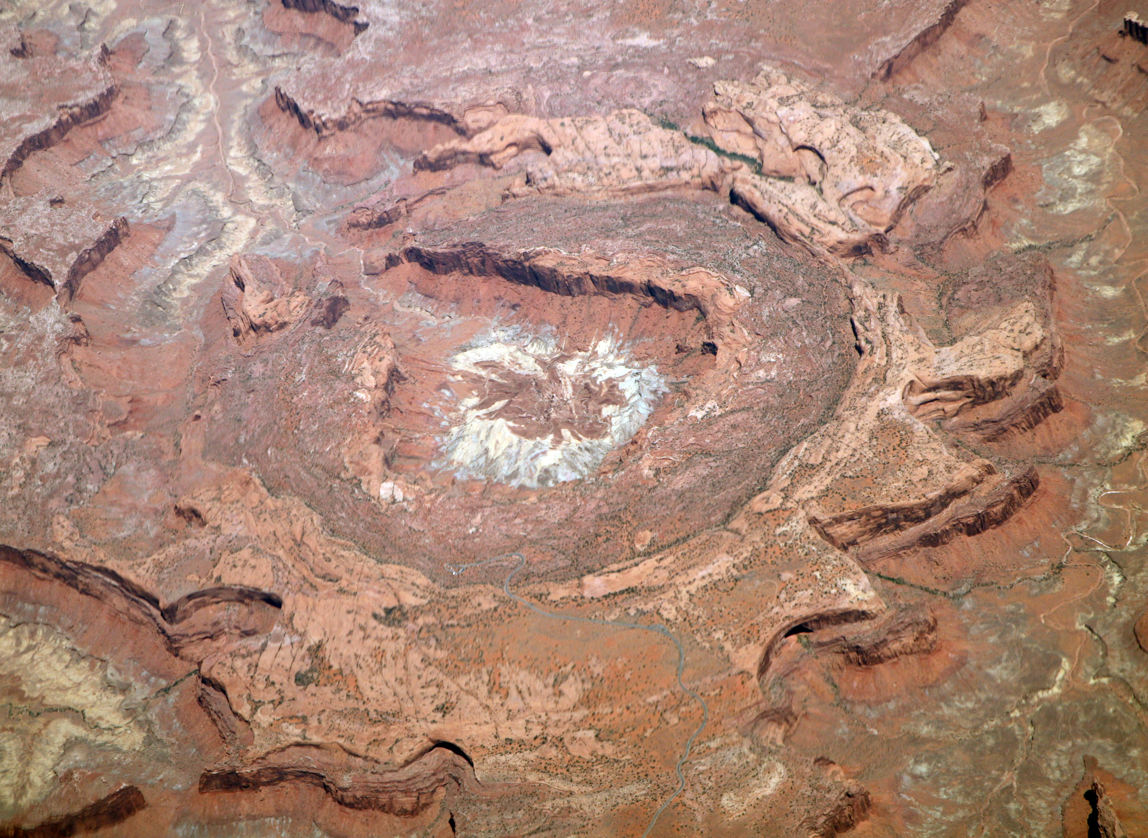
Description
WikipediaUpheaval Dome is an enigmatic geological structure in San Juan County, Utah, United States, that has been variously interpreted as a meteorite impact structure or a salt dome. The structure lies 22 miles (35 km) southwest of the city of Moab, Utah, in the Island in the Sky section of Canyonlands National Park.
Best months
Hiking score 0–100 · 10-yr climate averagesRows beneath each bar: mean temperature, monthly precipitation. Highest-scoring month in red.
Neighbouring summits
| Name | Elevation | Bearing | Distance |
|---|---|---|---|
| Upheaval Point | 1,805 m | S 185° | 1.4 km |
| Bighorn Mesa | 1,623 m | W 279° | 4.0 km |
Climbing routes
nearest first| Route | Area | Grade | From summit |
|---|---|---|---|
| Dunn Route | Moses | 6c+ | 4.6 km |
| Primrose Dihedrals | Moses | 7a | 4.6 km |
| Pale Fire | Moses | 7b | 4.6 km |
| East Face | Candlestick Tower | 6b | 6.2 km |
| Southwest Corner | Candlestick Tower | 6b | 6.2 km |
| Hardscrabble | Hardscrabble Tower | 5c | 7.4 km |
| Saddle Tower Buttress | Saddle Tower Buttress | 6c+ | 8.6 km |
| Sims-Hesse-Hanning Route | Charlie Horse Needle | 6c+ | 8.9 km |
| Unknown 5.10+ | Charlie Horse Needle | 6b+ | 8.9 km |
| Waves | Sandcastle | 6b | 9.3 km |
| In Search Of Suds | Washer Woman | 6b+ | 9.4 km |
| North Ridge | Monster Tower | 6c+ | 9.6 km |
| Kor Route | Monster Tower | 6b | 9.6 km |
| Broke Dick | Evan's Overlook | 6a | 10.0 km |
| Scheherazade | Evan's Overlook | 5c | 10.0 km |