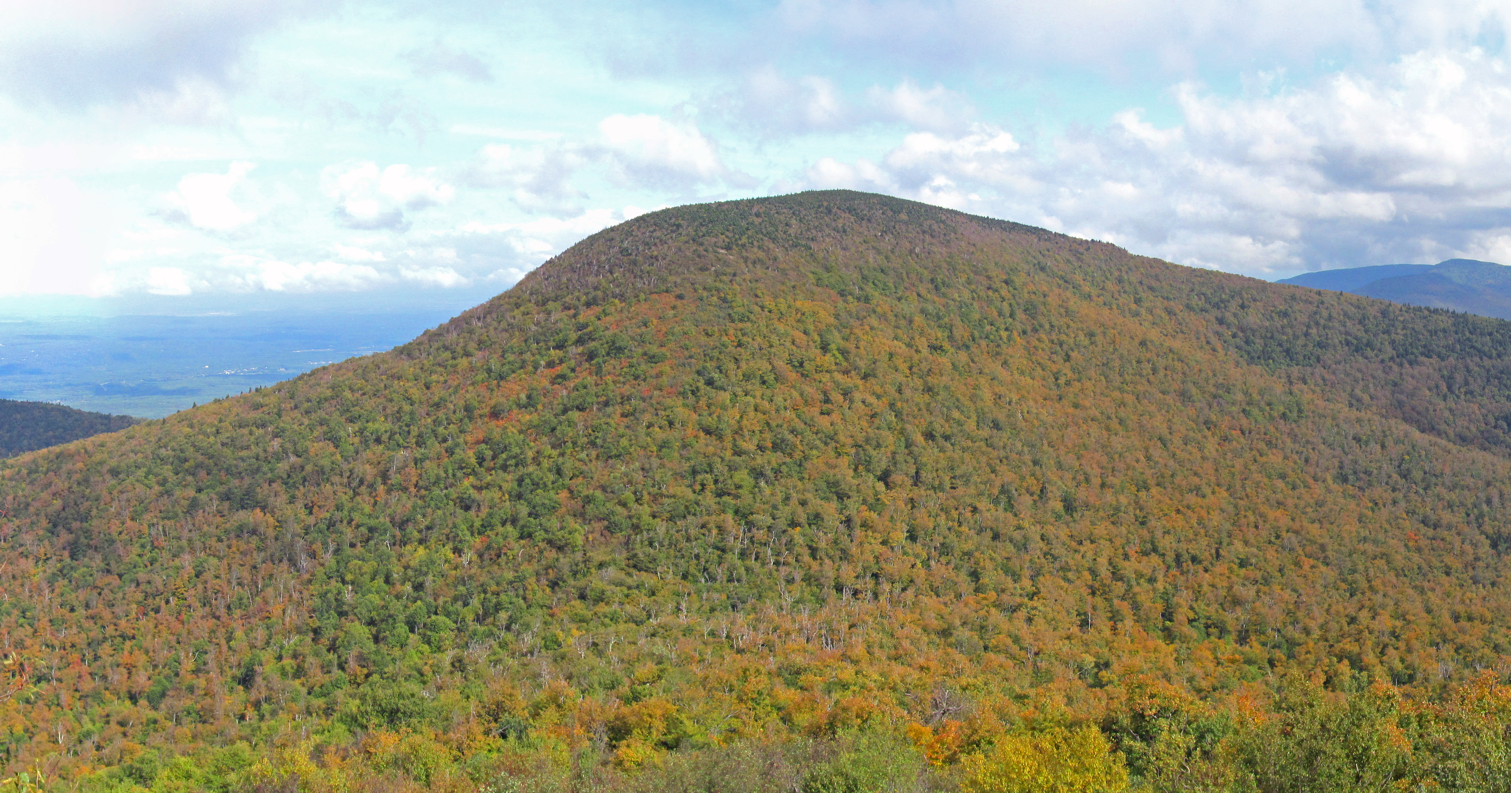
Blackhead is a mountain located in Greene County, New York. The mountain is part of the Blackhead range of the Catskill Mountains. Blackhead is flanked to the northeast by Black Dome and Acra Point is located north. Blackhead stands within the watershed of the Hudson River, which drains into New York Bay. The southwest side of Blackhead drains into East Kill, thence into Schoharie Creek, the Mohawk River, and the Hudson River. The north side of Blackhead drains into the headwaters of Batavia Kill, and thence into Schoharie Creek. The east side of Blackhead drains into Trout Brook, thence into Shingle Kill, Catskill Creek, and the Hudson River. Blackhead is within New York's Catskill Park. The Long Path, a 350-mile (560 km) long-distance hiking trail from New York City to Albany, is contiguous with the Escarpment Trail.
Best months
Hiking score 0–100 · 10-yr climate averages
Rows beneath each bar: mean temperature, monthly precipitation. Highest-scoring month in red.