Record SL-827831 · Wikidata Q8527939
Mount Washington
No list classifications
Elevation
3,539
m
11,611 ft
Prominence
498 m
Isolation
—
Coordinates
38.9149° N,
114.3092° W
Grid ref
—
Description
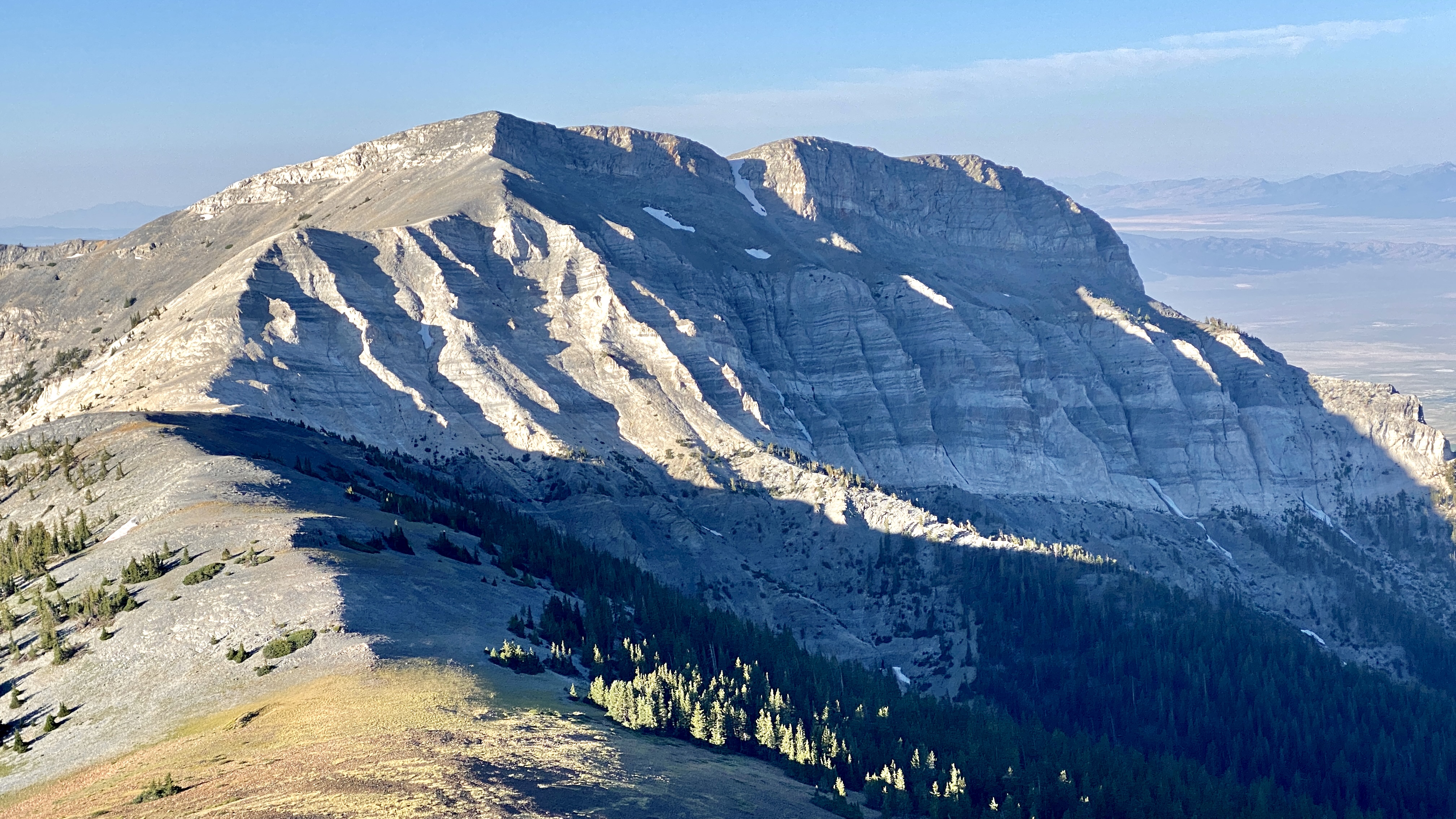
WikipediaMount Washington is a mountain in White Pine County in the state of Nevada. The mountain climbs to an elevation of 11,658 feet (3,553 m) and is in Great Basin National Park. Land near the summit and adjoining the national park was purchased in 2001 by The Long Now Foundation as a potential site for the Clock of the Long Now. The announcement of the land purchase was made at Baker, the gateway town of the national park, and in nearby Ely, Nevada, at a gathering of White Pine County officials sponsored by Ely's Economic Diversification Council. The property was described as 180.3 acres (73.0 ha) made up of eleven patented mining claims dating back to 1916.
First ascent
Date
2001
Source · wikipedia
Best months
Hiking score 0–100 · 10-yr climate averagesRows beneath each bar: mean temperature, monthly precipitation. Highest-scoring month in red.
Neighbouring summits
| Name | Elevation | Bearing | Distance |
|---|---|---|---|
| Lincoln Peak | 3,531 m | S 164° | 3.7 km |
| Pyramid Peak | 3,607 m | N 18° | 3.9 km |
Climbing routes
nearest first| Route | Area | Grade | From summit |
|---|---|---|---|
| The NE Couloir, AKA The Wheel Deal | Wheeler Peak | 4c | 7.9 km |
| Hit by a Wheeler aka the Marvell-Wharton | Wheeler Peak | V2 | 7.9 km |
| Stella by Starlight | Wheeler Peak | 5b | 7.9 km |