Record SL-826127 · Wikidata Q25240787
West Peak
No list classifications
Elevation
2,944
m
9,659 ft
Prominence
—
Isolation
—
Coordinates
45.7335° N,
112.4841° W
Grid ref
—
Description
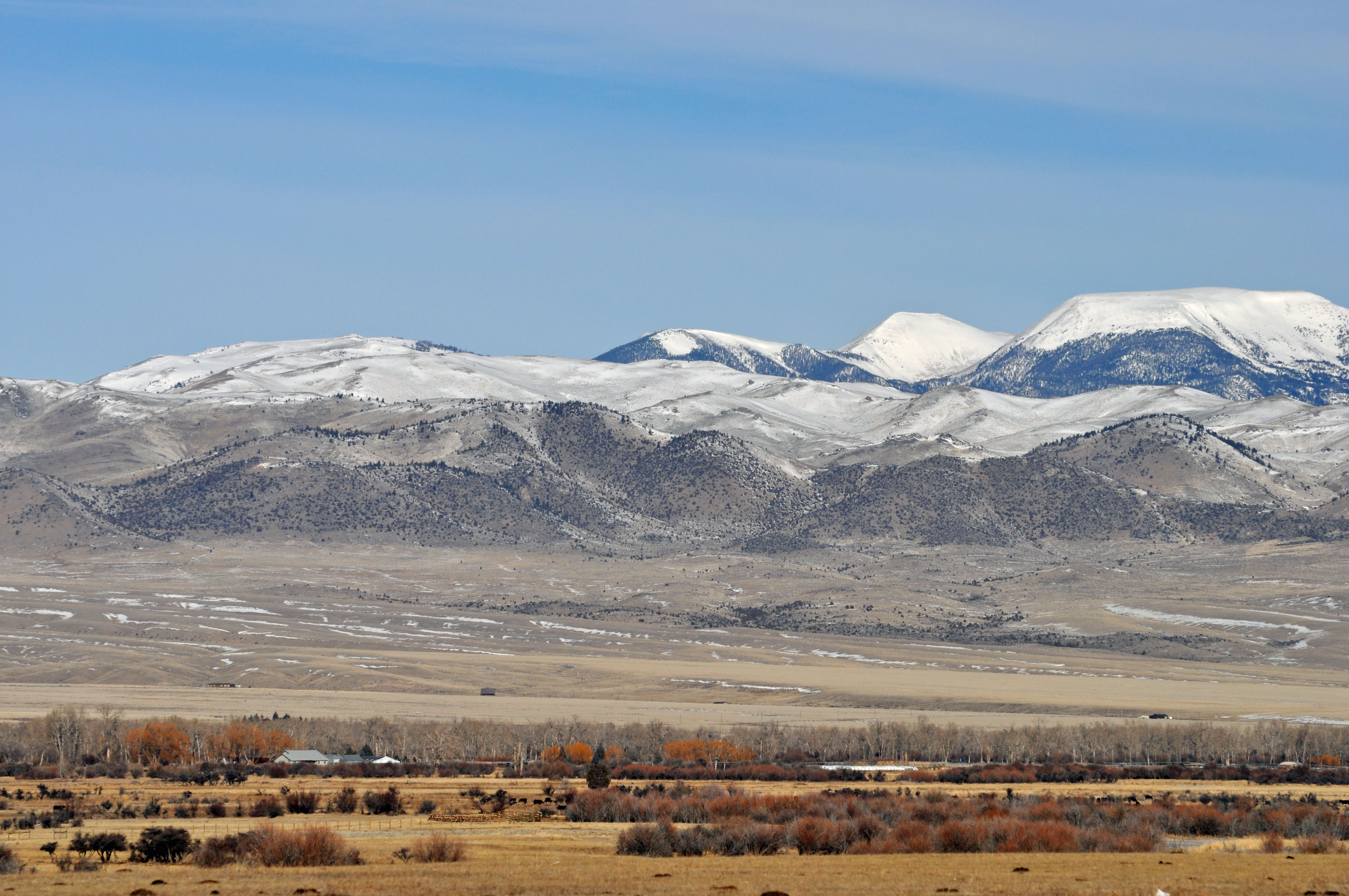
WikipediaWest Peak, el. 9,659 feet (2,944 m), is a mountain peak in the Highland Mountains in Madison County, Montana. It rises due west from Table Mountain in the same range. The peak is located in the Deerlodge National Forest. The headwaters of Hell's Canyon Creek, a significant tributary of the Jefferson River flow off the southeast face of the peak.
Best months
Hiking score 0–100 · 10-yr climate averagesRows beneath each bar: mean temperature, monthly precipitation. Highest-scoring month in red.
Neighbouring summits
| Name | Elevation | Bearing | Distance |
|---|---|---|---|
| Red Mountain | 3,055 m | N 20° | 1.3 km |
| Table Mountain | 3,113 m | NE 61° | 2.0 km |
| East Peak | 3,017 m | E 69° | 3.8 km |
| Grassy Mountain | 2,616 m | S 158° | 4.3 km |
| Big Mountain | 2,682 m | S 171° | 4.5 km |
| Gold Hill | 2,344 m | NW 311° | 4.9 km |