Elk Mountain
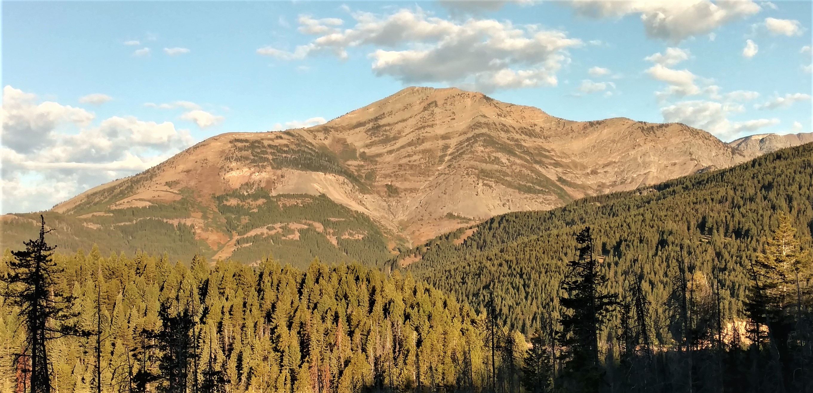
Description
WikipediaElk Mountain is a 7,835-foot-elevation (2,388-meter) mountain summit located in Flathead County in the U.S. state of Montana. It is situated in the southern tip of Glacier National Park, in the Lewis Range, about four miles to the west side of the Continental Divide. US Highway 2 and the Hi-Line Subdivision of the BNSF Railway traverse the southern base of this mountain, approximately four miles west of Marias Pass. Topographic relief is significant as the northwest aspect rises 3,400 feet (1,000 meters) above Ole Creek in one mile. The nearest higher neighbor is Sheep Mountain 2.7 miles to the north-northwest. The mountain's name first appeared on a 1914 USGS map, and was officially adopted in 1929 by the United States Board on Geographic Names. The summit is the site of a former fire lookout that was built in the 1930s, and removed in 1963.
Best months
Hiking score 0–100 · 10-yr climate averagesNeighbouring summits
| Name | Elevation | Bearing | Distance |
|---|---|---|---|
| Blacktail Hills | 1,834 m | E 86° | 3.0 km |
| Sheep Mountain | 2,612 m | NW 333° | 4.4 km |