Record SL-634686 · Wikidata Q8537019
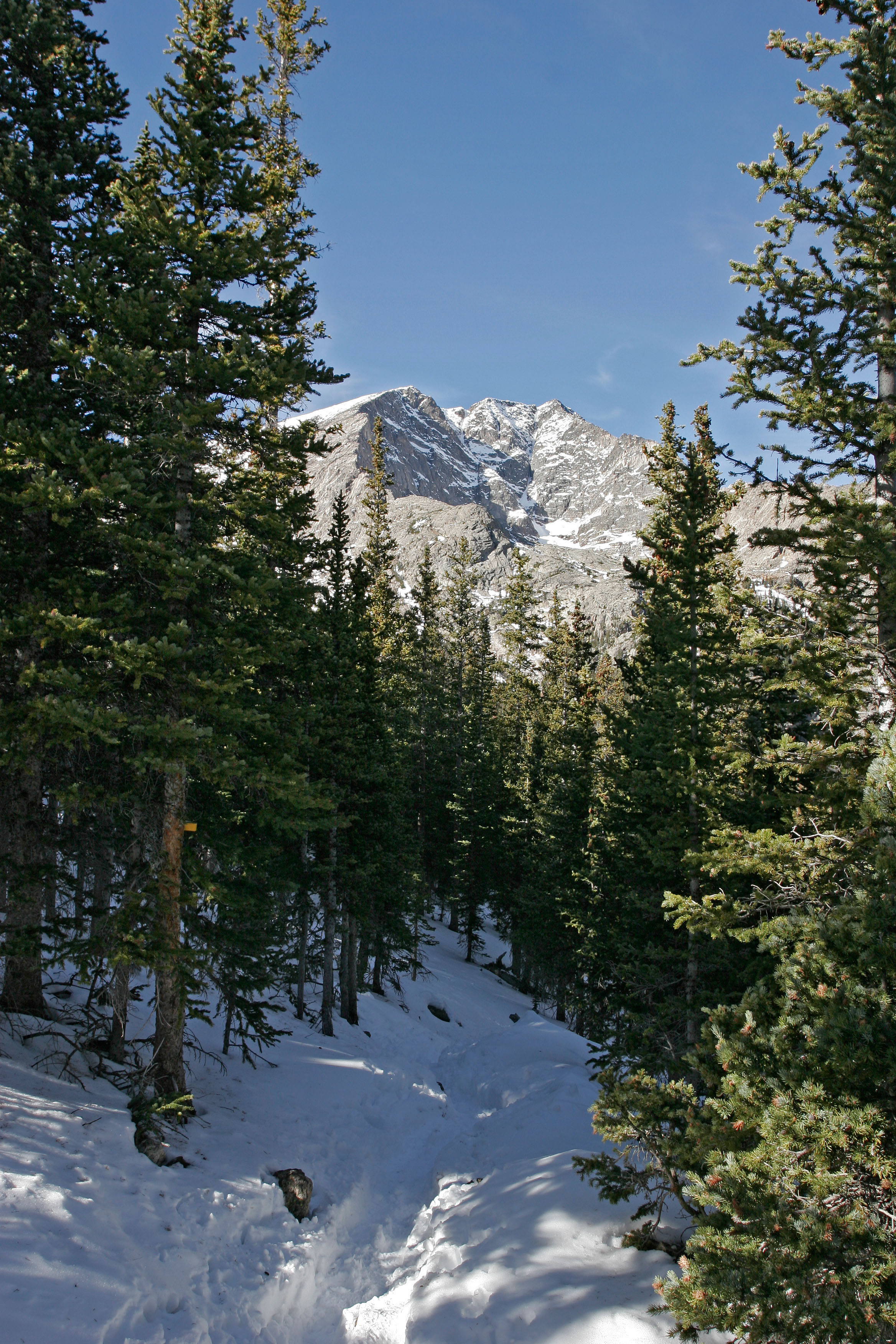
Ypsilon Mountain
No list classifications
Elevation
4,098
m
13,445 ft
Prominence
340 m
Isolation
4.3 km
Coordinates
40.4574° N,
105.6812° W
Grid ref
—
Description
WikipediaYpsilon Mountain, elevation 13,520 ft (4,121 m), is in the Mummy Range of Rocky Mountain National Park in northern Colorado. The mountain, along with Mount Chiquita, is most easily accessed from a trailhead on Fall River Road to the south. The mountain was named in 1887 after the Greek letter Ypsilon by Mrs. Frederick H. Chapin, who observed the Y-shaped snowfield on its east face.
Best months
Hiking score 0–100 · 10-yr climate averagesRows beneath each bar: mean temperature, monthly precipitation. Highest-scoring month in red.
Neighbouring summits
| Name | Elevation | Bearing | Distance |
|---|---|---|---|
| Mount Chiquita | 3,978 m | SW 203° | 1.6 km |
| Fairchild Mountain | 4,116 m | NE 50° | 1.9 km |
| West Desolation Peak | 3,937 m | NW 323° | 2.0 km |
| Mount Chapin | 3,796 m | SW 213° | 3.2 km |
| Flatiron Mountain | 3,754 m | NW 320° | 3.9 km |
| Hagues Peak | 4,133 m | NE 44° | 4.2 km |
Climbing routes
nearest first| Route | Area | Grade | From summit |
|---|---|---|---|
| Prancer Ridge | Ypsilon Mountain | 4c | 55 m |
| Y Couloir (Left Branch) | Ypsilon Mountain | 2- | 55 m |
| Y Couloir (Right Branch) | Ypsilon Mountain | 4a | 55 m |
| Blitzen Face | Ypsilon Mountain | 5a | 55 m |
| Blitzen Ridge | Ypsilon Mountain | 4a | 55 m |
| Honcho Boncho Buttress | Fairchild Mountain | 5a | 1.9 km |
| Tumblelina | McGregor West | 5b | 9.5 km |
| The Fin | Emmaline Cirque | 1+ | 9.6 km |
| Indirect | McGregor Slab | 5a | 9.8 km |
| Flatiron of the Rockies variation of Left Standard | McGregor Slab | 5a | 9.8 km |
| Camel Toe | McGregor Slab | 5c | 9.8 km |
| Direct | McGregor Slab | 5a | 9.8 km |
| Right Standard | McGregor Slab | 4c | 9.8 km |
| Overhang | McGregor Slab | 5a | 9.8 km |
| Left Standard | McGregor Slab | 4b | 9.8 km |