Record SL-636342 · Wikidata Q8521770
Humboldt Peak
No list classifications
Elevation
4,289
m
14,072 ft
Prominence
367 m
Isolation
2.3 km
Coordinates
37.9761° N,
105.5553° W
Grid ref
—
Description
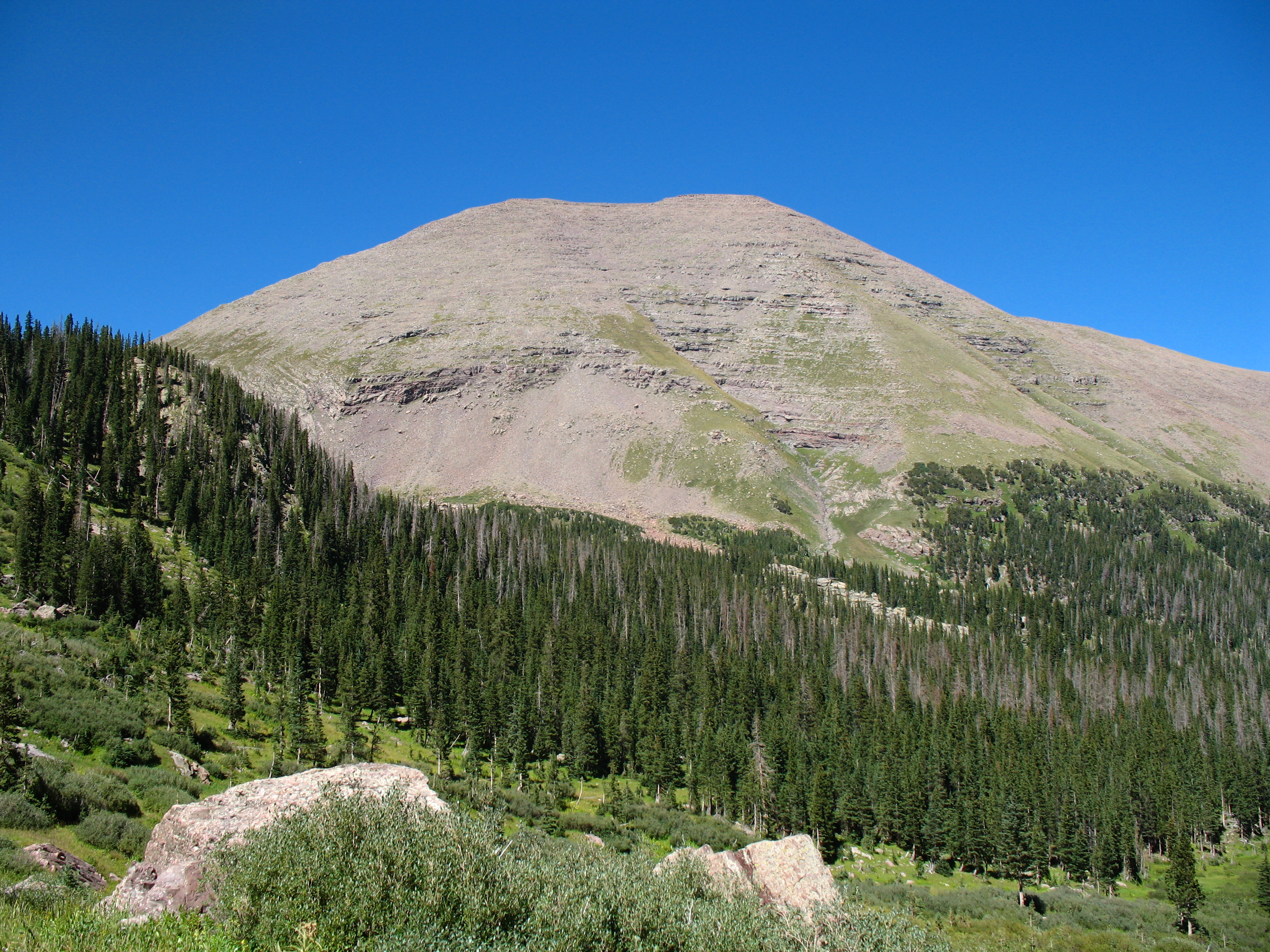
WikipediaHumboldt Peak is a high mountain summit of the Crestones in the Sangre de Cristo Range of the Rocky Mountains of North America. The 14,066.6-foot (4,287 m) fourteener is located in the Sangre de Cristo Wilderness of San Isabel National Forest, 11.9 miles (19.2 km) south-southwest (bearing 204°) of the Town of Westcliffe in Custer County, Colorado, United States. The Crestones are a cluster of high summits in the Sangre de Cristo Range, comprising Crestone Peak, Crestone Needle, Kit Carson Peak, Challenger Point, Humboldt Peak, and Columbia Point. The mountain was named in honor of German naturalist and explorer Alexander von Humboldt.
Best months
Hiking score 0–100 · 10-yr climate averagesRows beneath each bar: mean temperature, monthly precipitation. Highest-scoring month in red.
Neighbouring summits
| Name | Elevation | Bearing | Distance |
|---|---|---|---|
| Colony Baldy | 4,174 m | N 348° | 2.2 km |
| Crestone Needle | 4,329 m | SW 236° | 2.3 km |
| Broken Hand Peak | 4,136 m | SW 205° | 2.4 km |
| East Crestone Peak | 4,359 m | W 248° | 2.7 km |
| Crestone Peak | 4,359 m | W 249° | 2.8 km |
| Obstruction Peak | 4,206 m | W 275° | 2.9 km |
Climbing routes
nearest first| Route | Area | Grade | From summit |
|---|---|---|---|
| Ellingwood Ledges | Crestones, The | 5a | 2.8 km |
| Crestone Peak North Buttress | Crestones, The | 1+ | 2.8 km |
| India | Crestones, The | 5b | 2.8 km |
| North Ridge of Kit Carson | Crestones, The | 1 | 2.8 km |
| Crestone Peak / North Pillar | Crestones, The | 5b | 2.8 km |
| Merhar Direct | Crestones, The | 4c | 2.8 km |
| The Prow (Kit Carson) | Crestones, The | 5b | 2.8 km |
| 'Bag O Stones' | Crestones, The | 5b | 2.8 km |
| Septem Virtutum Anima Mea | Crestones, The | 5a | 2.8 km |
| Crestone Traverse | Crestones, The | 1 | 2.8 km |
| Red Gully | Crestones, The | 1- | 2.8 km |
| Analemma aka Northeast Ridge | Crestolita | 1 | 3.0 km |
| South Ridge | Music Mountain | 1 | 4.3 km |