Record SL-634164 · Wikidata Q7156288
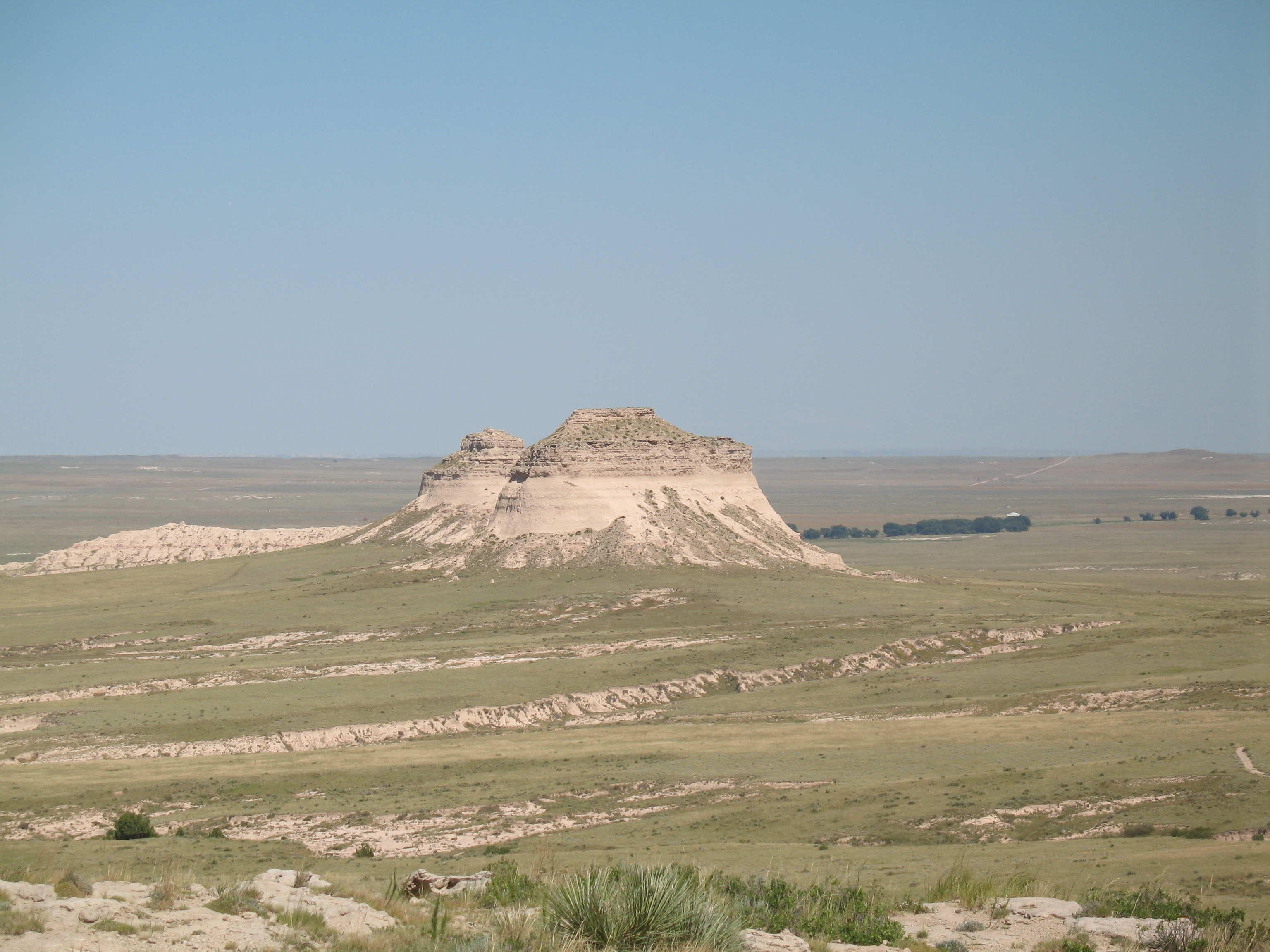
East Pawnee Butte
No list classifications
Elevation
1,573
m
5,161 ft
Prominence
—
Isolation
—
Coordinates
40.8236° N,
103.9690° W
Grid ref
—
Description
WikipediaThe Pawnee Buttes are two prominent buttes in northeastern Colorado. The west butte is located within the Pawnee National Grassland, while the east butte is on private land in Weld County. Rising approximately 300 feet (91 m) above the surrounding plains, the buttes are erosional remnants left standing in isolation as the surrounding High Plains surface has gradually worn away. The lower portions of the buttes are composed of relatively soft, clay-rich sedimentary rock called the Brule formation. The Brule formation is protected by an overlying layer of sandstone and conglomerate sediments called the Arikaree formation, which are more resistant to weathering.
Best months
Hiking score 0–100 · 10-yr climate averagesRows beneath each bar: mean temperature, monthly precipitation. Highest-scoring month in red.
Climbing routes
nearest first| Route | Area | Grade | From summit |
|---|---|---|---|
| West Butte - Northeast Face | Pawnee Grasslands | 4c | 241 m |