Record SL-635321 · Wikidata Q4850334
Bald Mountain
No list classifications
Elevation
4,175
m
13,698 ft
Prominence
640 m
Isolation
12.1 km
Coordinates
39.4449° N,
105.9705° W
Grid ref
—
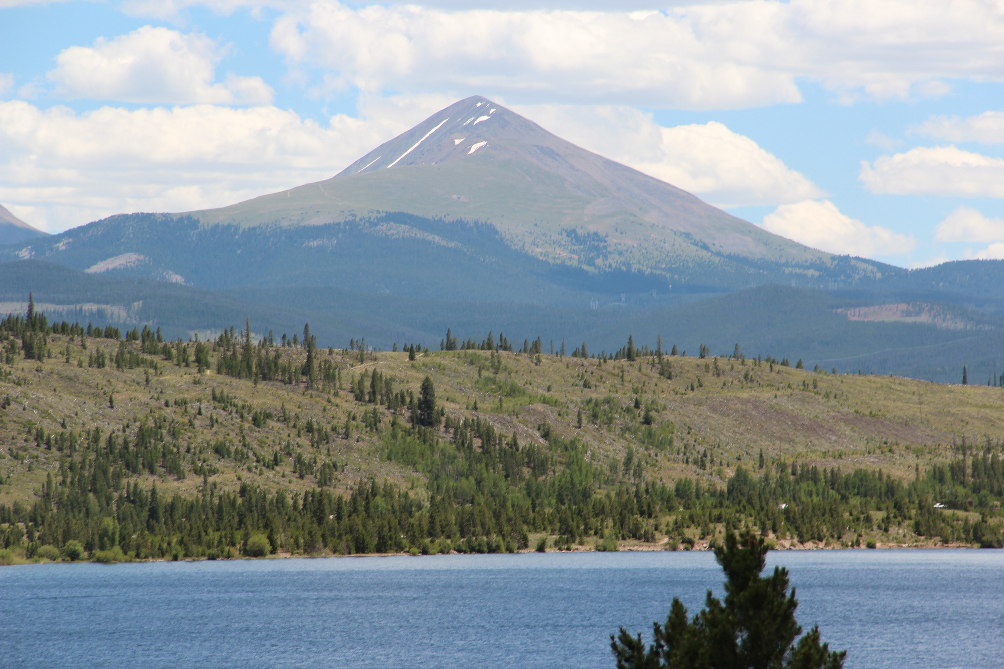
Description
WikipediaBald Mountain is a high and prominent mountain summit in the Front Range of the Rocky Mountains of North America. The 13,690-foot (4,173 m) thirteener is located in Arapaho National Forest, 5.5 miles (8.9 km) southeast (bearing 135°) of the Town of Breckenridge in Summit County, Colorado, United States. It may be reached by a technically-undemanding though long and roundabout route from Breckenridge, initially through forest and then open country; though as for all mountains of this elevation, altitude sickness is a potential danger as well as afternoon thunderstorms. Extensive views of the surrounding area may be enjoyed from the summit on a clear day.
Best months
Hiking score 0–100 · 10-yr climate averagesRows beneath each bar: mean temperature, monthly precipitation. Highest-scoring month in red.
Neighbouring summits
| Name | Elevation | Bearing | Distance |
|---|---|---|---|
| Mount Guyot | 4,053 m | NE 61° | 3.2 km |
| Mount Argentine | 3,479 m | W 250° | 4.1 km |
| Farncomb Hill | 3,460 m | N 17° | 4.3 km |
| Boreas Mountain | 3,977 m | SE 156° | 4.6 km |
| Madonna Dome | 3,758 m | S 193° | 4.8 km |
Climbing routes
nearest first| Route | Area | Grade | From summit |
|---|---|---|---|
| Berry Grazer | Raspberry Boulders | V1 | 8.5 km |
| Horny Warm-up | Raspberry Boulders | V1 | 8.5 km |
| The Little Chockstone That Could | Raspberry Boulders | V-easy | 8.5 km |
| Dingleberries | Raspberry Boulders | V1+ | 8.5 km |
| Broken-In | Raspberry Boulders | V3 | 8.5 km |