Record SL-819297 · Wikidata Q49077754
State Peak
No list classifications
Elevation
3,840
m
12,598 ft
Prominence
189 m
Isolation
3.4 km
Coordinates
36.9319° N,
118.5457° W
Grid ref
—
Description
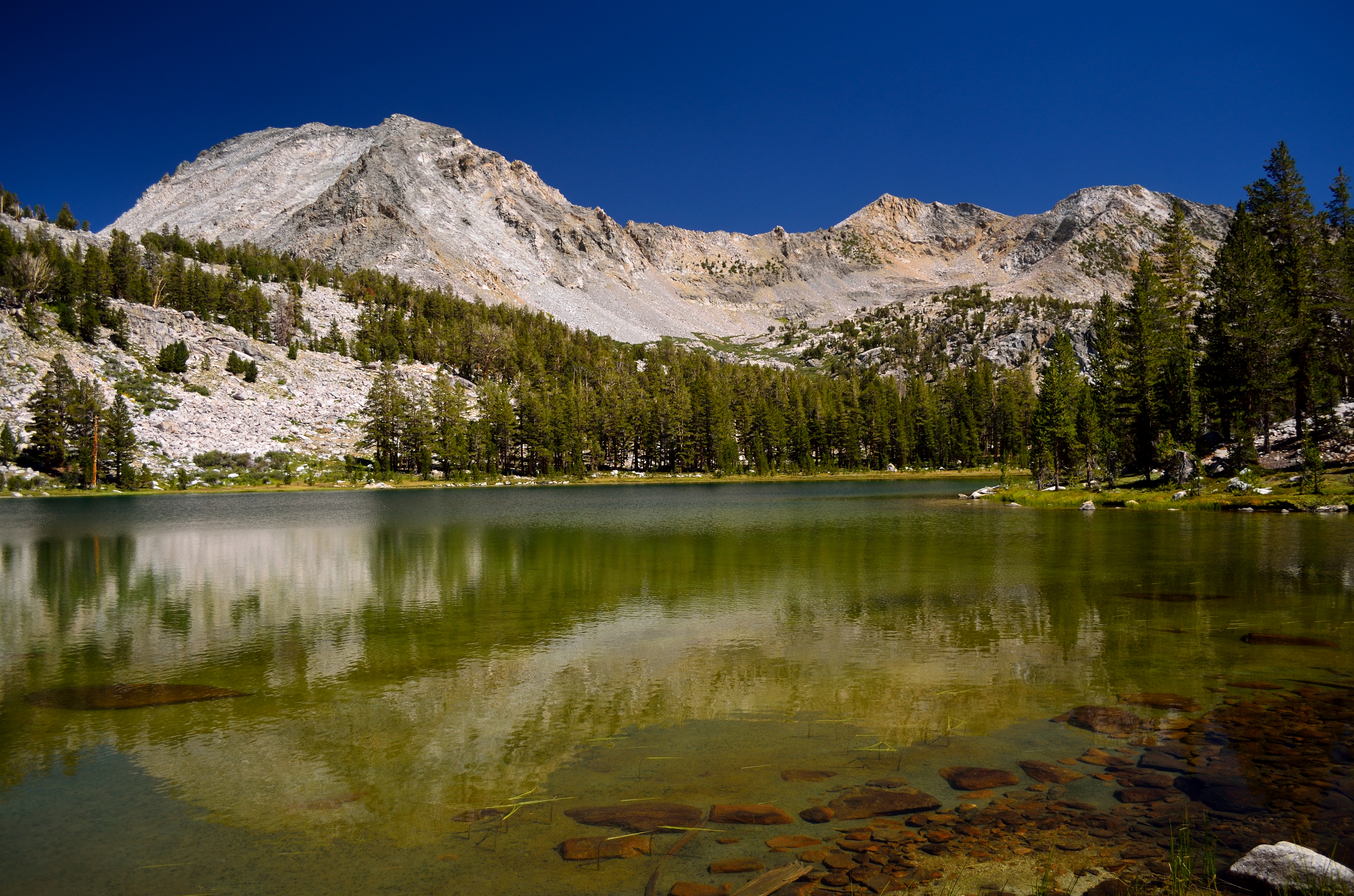
WikipediaState Peak is a remote 12,620-foot-elevation (3,850-meter) mountain summit located in Kings Canyon National Park, in Fresno County of northern California, United States. It is situated on Cirque Crest which is west of the crest of the Sierra Nevada mountain range, 3.03 miles (4.88 km) west of Arrow Peak, and 2.13 miles (3.43 km) southwest of Marion Peak, the nearest higher neighbor. Topographic relief is significant as the west aspect rises 2,100 feet (640 meters) above State Lakes in 1.5 mile, and the southeast aspect rises 4,000 feet (1,200 meters) above South Fork Kings River in 1.5 mile.
First ascent
Date
1935
Source · wikipedia
Best months
Hiking score 0–100 · 10-yr climate averagesRows beneath each bar: mean temperature, monthly precipitation. Highest-scoring month in red.
Neighbouring summits
| Name | Elevation | Bearing | Distance |
|---|---|---|---|
| Dougherty Peak | 3,733 m | S 185° | 1.2 km |
| Marion Peak | 3,874 m | NE 37° | 3.5 km |
| Red Point | 3,622 m | N 21° | 4.4 km |
| Arrow Peak | 3,951 m | E 95° | 4.9 km |
Climbing routes
nearest first| Route | Area | Grade | From summit |
|---|---|---|---|
| The Fable of Hedwig | Peak 12,358 | 6b+ | 4.7 km |
| Northeast Spur | Arrow Peak | 1- | 4.8 km |
| Madirjian's Banana | Castle Dome | 4a | 9.8 km |
| Southeast Arete | Castle Dome | 6a | 9.8 km |