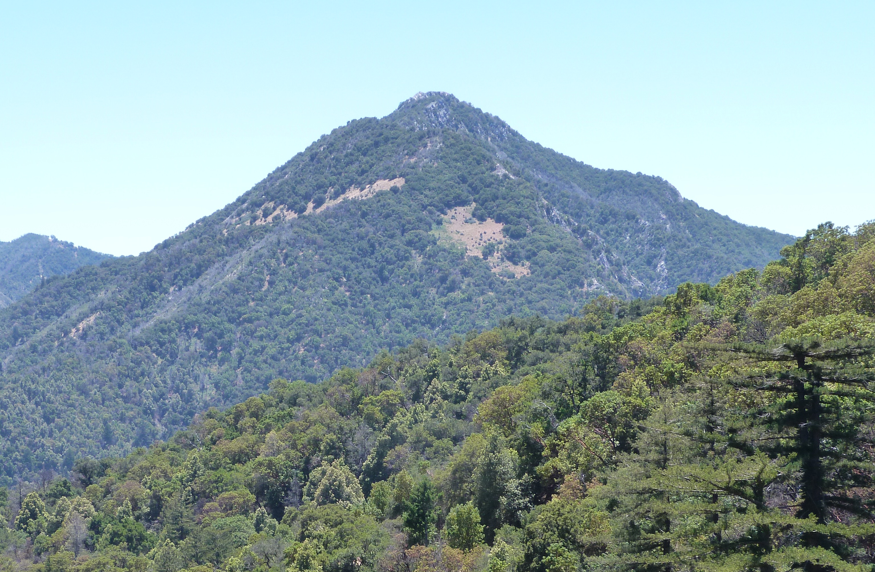
Pico Blanco is a peak on the coast of Big Sur in the Santa Lucia Range of the Los Padres National Forest. The Little Sur River and its tributaries almost surround the mountain. The North Fork wraps around the northern flank and eastern edge of the mountain, and the South Fork crosses the mountain to the west and south-west. The mountain is known for an extremely high-grade limestone deposit. The peak and surrounding 2,800 acres (1,100 ha), are owned by the Granite Rock Company of Watsonville, California. The lower western slopes of the mountain are the property of the El Sur Ranch. The Old Coast Road built in the early 1900s cuts across its western flank. The view from its summit allows hikers to see Ventana Double Cone and Kandlbinder Peak to the southeast, as well as a host of other Big Sur peaks: Mt. Manuel, Post Summit, Uncle Sam Mtn., and Cone Peak far to the south. The mountain is central to the creation story of the Esselen people.
Best months
Hiking score 0–100 · 10-yr climate averages
Rows beneath each bar: mean temperature, monthly precipitation. Highest-scoring month in red.