Record SL-818209 · Wikidata Q49054855
Mount Tinemaha
No list classifications
Elevation
3,770
m
12,369 ft
Prominence
166 m
Isolation
2.9 km
Coordinates
37.0363° N,
118.3965° W
Grid ref
—
Description
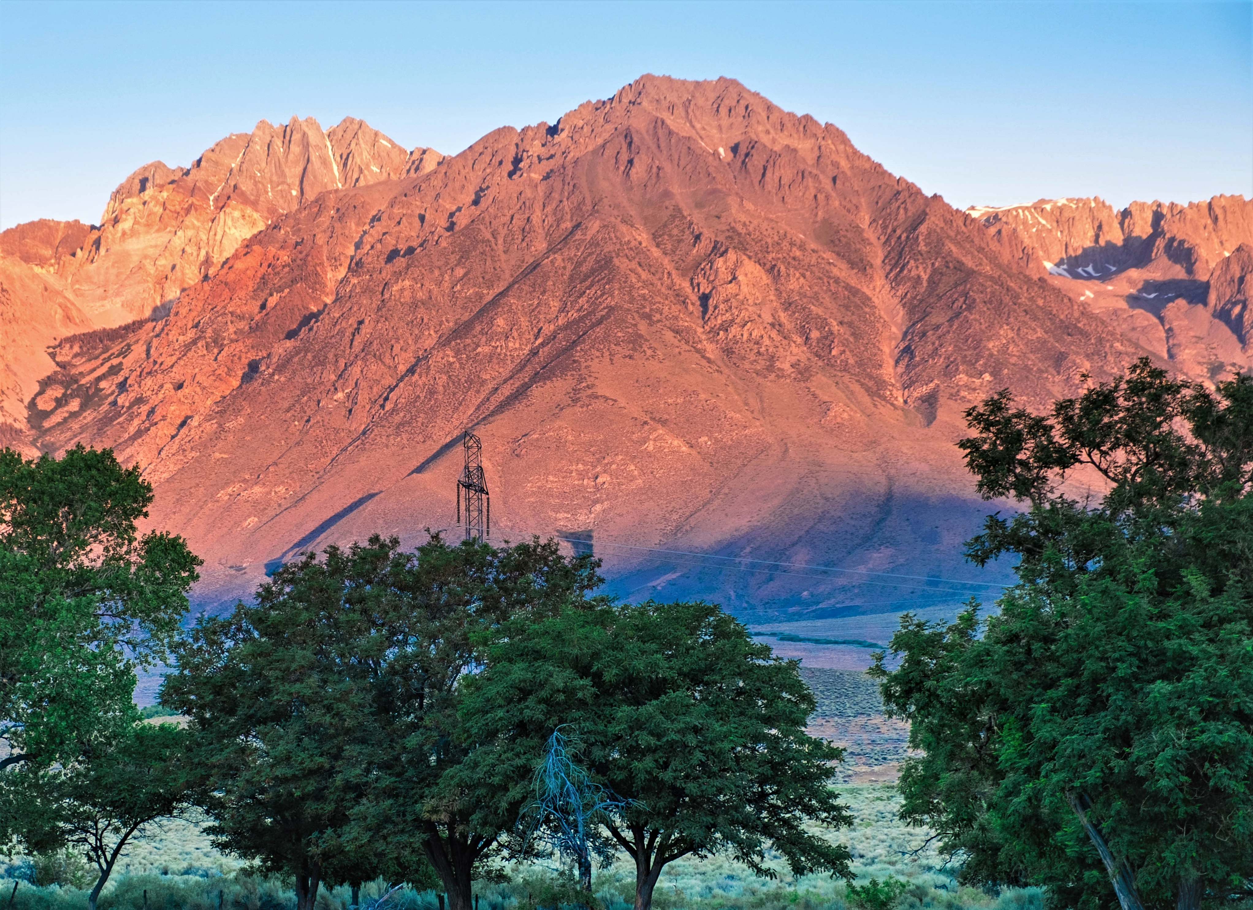
WikipediaMount Tinemaha is a 12,520-foot-elevation (3,820-meter) mountain summit located east of the crest of the Sierra Nevada mountain range, in Inyo County of northern California. It is situated on the eastern boundary of the John Muir Wilderness, on land managed by Inyo National Forest. It is 1.3 mile southeast of Tinemaha Lake, and 1.8 mile northeast of parent Split Mountain. Topographic relief is significant as the east aspect rises 5,900 feet (1,800 meters) above Owens Valley in two miles.
First ascent
Date
1937
Source · wikipedia
Best months
Hiking score 0–100 · 10-yr climate averagesRows beneath each bar: mean temperature, monthly precipitation. Highest-scoring month in red.
Neighbouring summits
| Name | Elevation | Bearing | Distance |
|---|---|---|---|
| Split Mountain | 4,269 m | SW 233° | 2.9 km |
| Mount Prater | 4,107 m | W 271° | 3.4 km |
| Birch Mountain | 4,134 m | NW 326° | 3.6 km |
| Mount Bolton Brown | 4,110 m | W 285° | 4.1 km |
| Cardinal Mountain | 4,076 m | S 199° | 4.3 km |
Climbing routes
nearest first| Route | Area | Grade | From summit |
|---|---|---|---|
| St Jeans Couloir | Split Mountain | 1 | 2.9 km |
| East Maze | Split Mountain | 1 | 2.9 km |
| Rest Day Ridge | Peak 11,880 | 5c | 7.1 km |
| Northeast Face | Middle Palisade | 1- | 7.5 km |
| North-Northeast Ridge | Norman Clyde Peak | 1 | 8.0 km |
| Firebird Ridge | Norman Clyde Peak | 5c | 8.0 km |
| Twilight Pillar | Norman Clyde Peak | 5b | 8.0 km |