Record SL-818948 · Wikidata Q49053594
Mount McDuffie
No list classifications
Elevation
4,047
m
13,278 ft
Prominence
208 m
Isolation
3.2 km
Coordinates
37.0735° N,
118.6440° W
Grid ref
—
Description
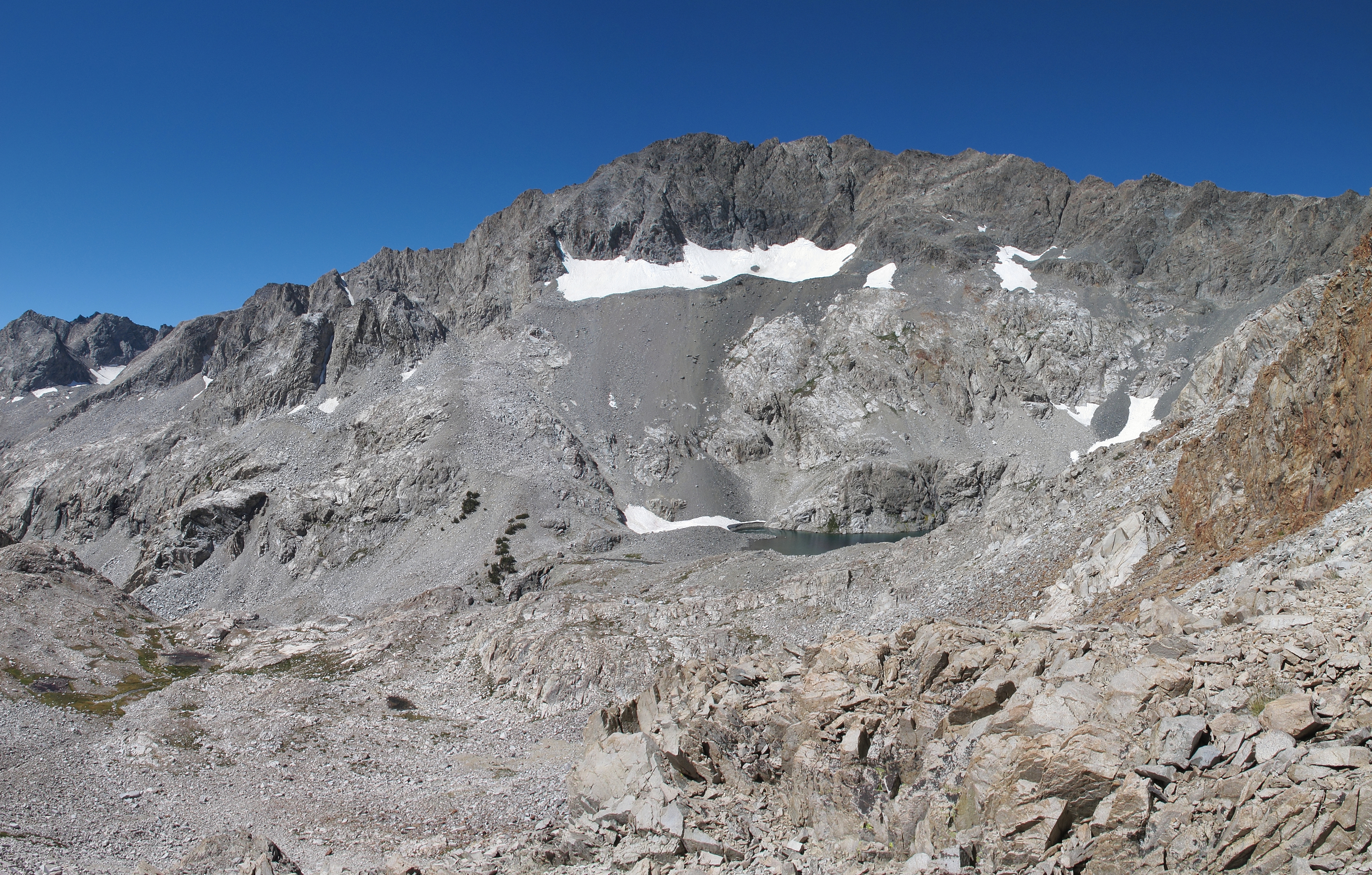
WikipediaMount McDuffie is a 13,291-foot-elevation (4,051-meter) mountain summit located west of the crest of the Sierra Nevada mountain range, in Fresno County of central California, United States. This peak is situated in northern Kings Canyon National Park, 1.9 miles (3.1 km) northwest of The Citadel, and two miles south of Black Giant, which is the nearest higher neighbor. McDuffie ranks as the 93rd highest summit in California, and the second-highest point on Black Divide. Topographic relief is significant as it rises nearly 4,900 feet (1,500 meters) above Le Conte Canyon in approximately 2.5 miles. An approach to this remote peak is made possible via the John Muir Trail.
First ascent
Date
23 Jul 1951
Source · wikipedia
Best months
Hiking score 0–100 · 10-yr climate averagesRows beneath each bar: mean temperature, monthly precipitation. Highest-scoring month in red.
Neighbouring summits
| Name | Elevation | Bearing | Distance |
|---|---|---|---|
| Charybdis | 3,988 m | NW 304° | 2.6 km |
| The Citadel | 3,575 m | E 107° | 3.1 km |
| Black Giant | 4,063 m | N 353° | 3.2 km |
| Wheel Mountain | 3,883 m | SE 157° | 3.3 km |
| The Three Sirens | 3,854 m | W 282° | 3.7 km |
| Scylla | 3,940 m | W 280° | 4.1 km |
Climbing routes
nearest first| Route | Area | Grade | From summit |
|---|---|---|---|
| Quality Time | Citadel, The | 6a+ | 2.4 km |
| Edge of Time Arete | Citadel, The | 6b+ | 2.4 km |
| Wild Kingdom | Citadel, The | 6c | 2.4 km |
| North Couloir | Clyde Spires | 1+ | 7.4 km |
| East Face | Point Powell | 6b | 7.6 km |
| Southeast Slope | Mt. Johnson | 1- | 8.0 km |
| Traverse from Trapezoid Peak | Mt. Johnson | 1 | 8.0 km |
| Northwest Ridge | Mt. Johnson | 1- | 8.0 km |
| Harrington Couloir | Mt. Thompson | 1- | 8.2 km |
| The Falcon | Peak 13,040' | 6a+ | 8.2 km |
| McGillicuddy | Mt. Gilbert | 6a | 8.2 km |
| North Couloir (Engram Couloir) | Mt. Gilbert | 4c | 8.2 km |
| South East Slope | Mt. Gilbert | 1- | 8.2 km |
| Don't Be a Square | Trapezoid Peak | 6a | 8.2 km |
| North Slab | Trapezoid Peak | 4a | 8.2 km |
| North Ridge | Trapezoid Peak | 1 | 8.2 km |
| Man on the Flying Trapezoid | Trapezoid Peak | 7a+ | 8.2 km |
| It's a Trap!...ezoid | Trapezoid Peak | 6b | 8.2 km |
| NE Buttress | Picture Peak | 6a+ | 8.6 km |
| SW Gully | Picture Peak | 1- | 8.6 km |
| North Face - North Ridge | Mt. Haeckel | 1 | 8.7 km |
| Northwest Ridge | Mt. Haeckel | 1 | 8.7 km |
| Jonny B. Goode | Mt. Goode | 6a+ | 8.7 km |
| North Buttress | Mt. Goode | 5c | 8.7 km |
| Sky Pilot | Mt. Goode | 6c+ | 8.7 km |