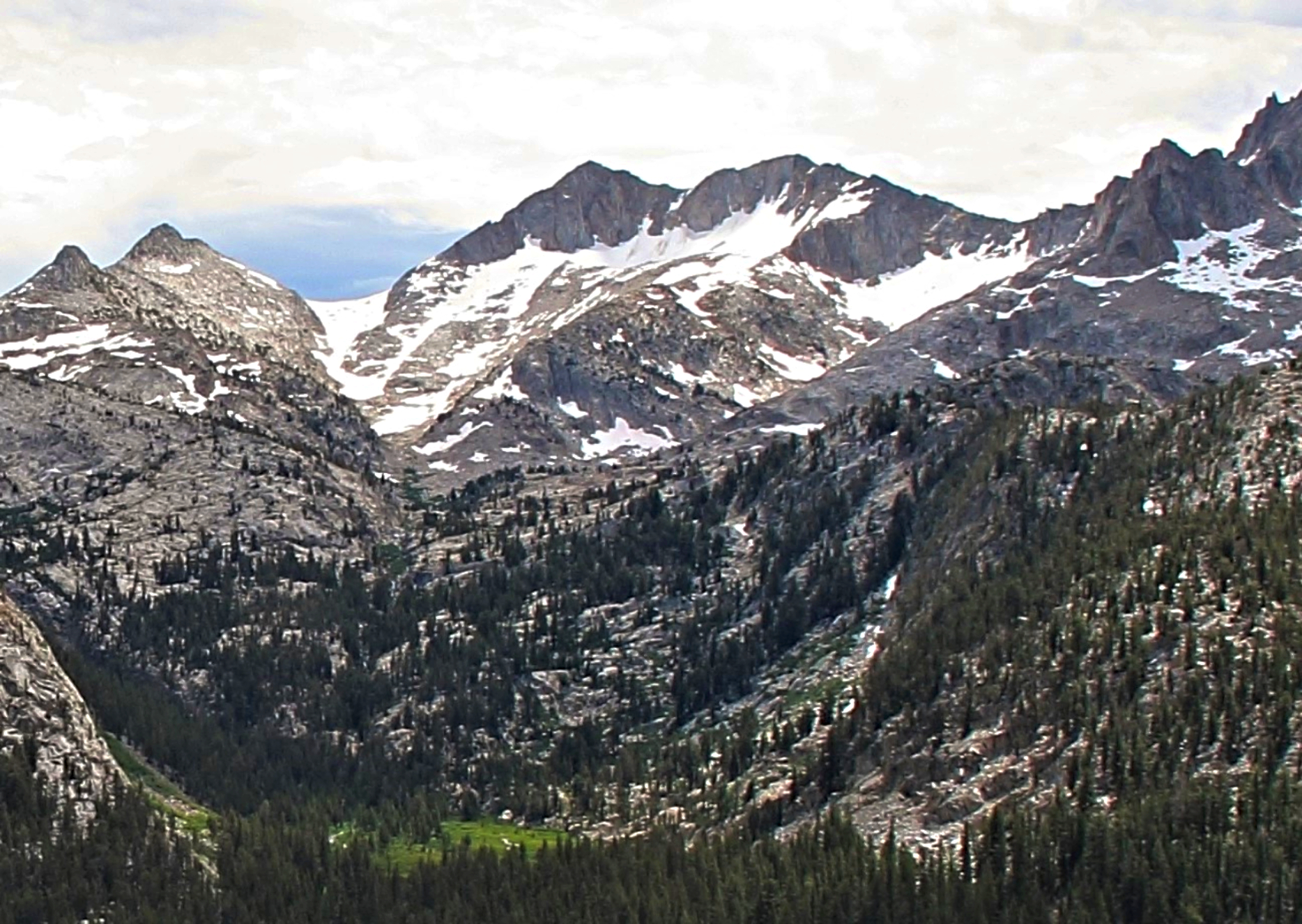
Mount Izaak Walton is a 12,077-foot-elevation (3,681-meter) mountain summit located in the Sierra Nevada mountain range in Fresno County of northern California, United States. It is situated in the John Muir Wilderness, on land managed by Sierra National Forest. Mount Izaak Walton ranks as the 404th-highest summit in California. Topographic relief is significant as the northwest aspect rises 1,800 feet (550 meters) above Izaak Walton Lake in approximately one mile. It is six miles northeast of Lake Thomas A Edison, and approximately 14 miles (23 km) south-southeast of the community of Mammoth Lakes. The peak is set on Silver Divide, so precipitation runoff from the north side of this mountain drains into Fish Creek which is a tributary of the San Joaquin River, and from the south slope to Mono Creek, also a tributary of the San Joaquin.
First ascent
Date
1976
Source · wikipedia
Best months
Hiking score 0–100 · 10-yr climate averages
Rows beneath each bar: mean temperature, monthly precipitation. Highest-scoring month in red.