Record SL-818051 · Wikidata Q49033261
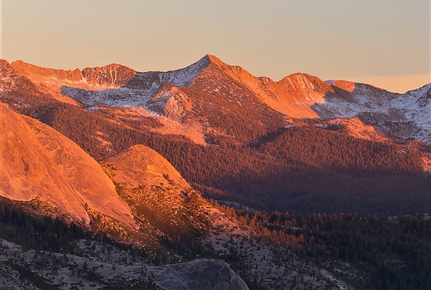
Gray Peak
No list classifications
Elevation
3,526
m
11,567 ft
Prominence
175 m
Isolation
2.4 km
Coordinates
37.6738° N,
119.4187° W
Grid ref
—
Description
WikipediaGray Peak is an 11,573-foot-elevation (3,527-meter) mountain summit located in the Sierra Nevada mountain range, in Madera County of northern California, United States. It is situated in Yosemite National Park, approximately 9 miles (14 km) southeast of Yosemite Valley, 1.3 miles (2.1 km) north of Red Peak, and 1.5 miles (2.4 km) south-southeast of Mount Clark. Gray Peak is the fourth-highest peak in the Clark Range, which is a subset of the Sierra Nevada.
Best months
Hiking score 0–100 · 10-yr climate averagesRows beneath each bar: mean temperature, monthly precipitation. Highest-scoring month in red.
Neighbouring summits
| Name | Elevation | Bearing | Distance |
|---|---|---|---|
| Red Peak | 3,567 m | S 160° | 2.4 km |
| Mount Clark | 3,512 m | N 341° | 2.7 km |
| Obelisk Lake Peak | 3,206 m | N 9° | 3.1 km |
| Ottoway Peak | 3,512 m | SE 147° | 4.2 km |
| Quartzite Peak | 3,182 m | N 353° | 4.7 km |
| Merced Peak | 3,575 m | SE 154° | 4.8 km |
Climbing routes
nearest first| Route | Area | Grade | From summit |
|---|---|---|---|
| Northwest Arete | Mt Clark | 1 | 2.7 km |
| Sugarloaf Dome - South Face | C. Little Yosemite Valley | 5c | 8.8 km |
| Bunnell Point - Northwest Face | C. Little Yosemite Valley | 5c | 8.8 km |
| Bunnell Boa | C. Little Yosemite Valley | 6c | 8.8 km |
| Bunnell Point - The Golden Bear | C. Little Yosemite Valley | 6a+ | 8.8 km |
| Red-breasted Nuthatch | Illilouette Creek Basin | V1 | 8.8 km |
| West Face of Mount Starr King | Mount Starr King | 5b | 9.3 km |
| Southeast Face | Mount Starr King | 3 | 9.3 km |