Record SL-816532 · Wikidata Q49024977
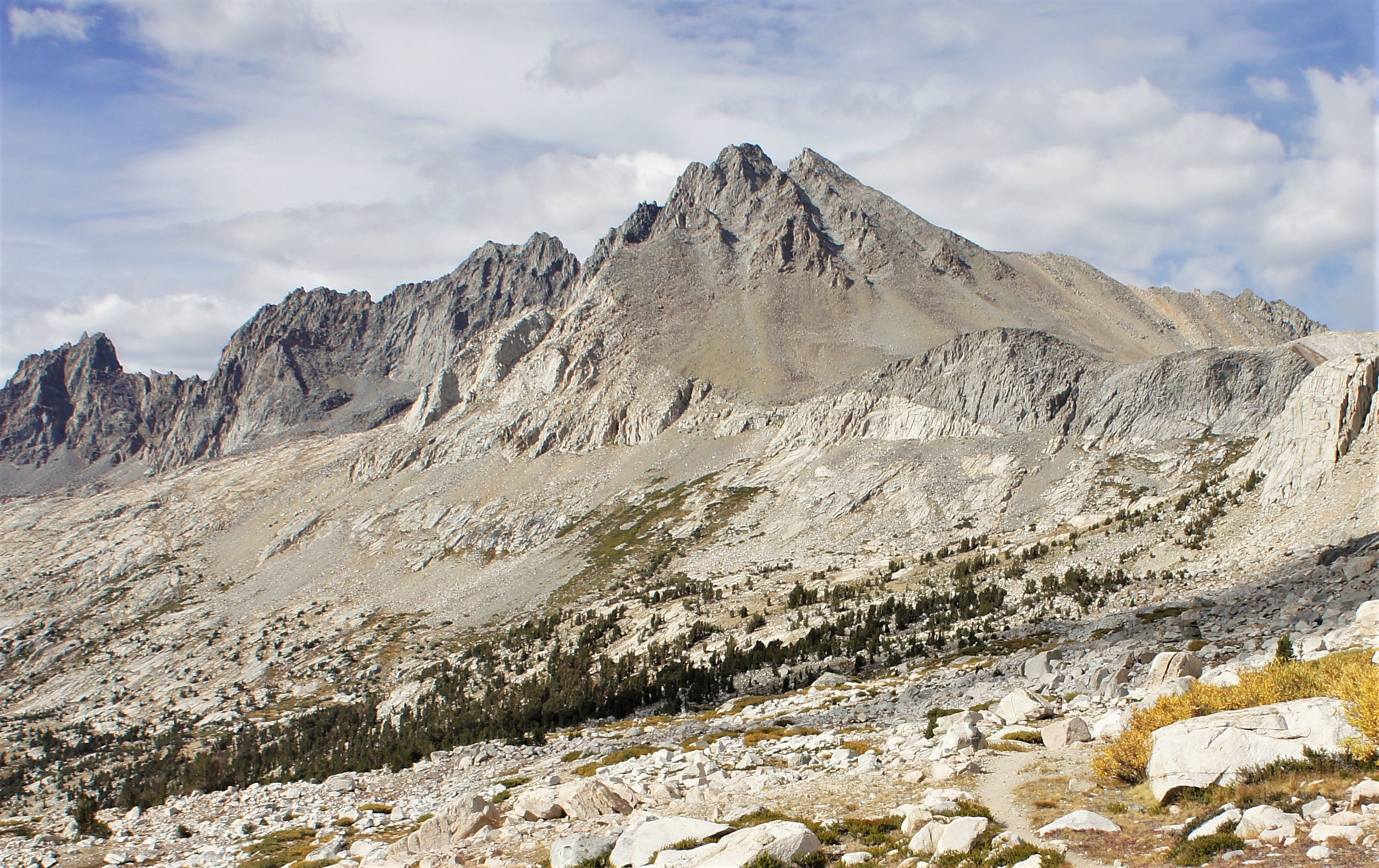
Disappointment Peak
No list classifications
Elevation
4,244
m
13,924 ft
Prominence
42 m
Isolation
0.3 km
Coordinates
37.0679° N,
118.4675° W
Grid ref
—
Description
WikipediaDisappointment Peak is a 13,917-foot-elevation (4,242-meter) summit located on the shared boundary of Fresno County and Inyo County in California, United States.
First ascent
Date
1919
Source · wikipedia
Best months
Hiking score 0–100 · 10-yr climate averagesRows beneath each bar: mean temperature, monthly precipitation. Highest-scoring month in red.
Neighbouring summits
| Name | Elevation | Bearing | Distance |
|---|---|---|---|
| Balcony Peak | 4,220 m | SE 122° | 0.1 km |
| Middle Palisade | 4,273 m | NW 331° | 0.3 km |
| Norman Clyde Peak | 4,229 m | NW 319° | 1.0 km |
| The Thumb | 4,058 m | E 78° | 1.9 km |
| Palisade Crest | 4,131 m | NW 308° | 2.5 km |
| Mount Bolton Brown | 4,110 m | SE 136° | 3.4 km |
Climbing routes
nearest first| Route | Area | Grade | From summit |
|---|---|---|---|
| Northeast Face | Middle Palisade | 1- | 321 m |
| Twilight Pillar | Norman Clyde Peak | 5b | 912 m |
| North-Northeast Ridge | Norman Clyde Peak | 1 | 912 m |
| Firebird Ridge | Norman Clyde Peak | 5c | 912 m |
| Rest Day Ridge | Peak 11,880 | 5c | 1.8 km |
| North Couloir Variation | Mt. Sill | 3 | 4.4 km |
| Swiss Arete | Mt. Sill | 5a | 4.4 km |
| North Couloir | Mt. Sill | 1 | 4.4 km |
| South West Ridge (aka Yellow Brick Road) | Mt. Gayley | 1- | 4.8 km |
| Traverse from Mt Sill | Polemonium Peak | 1+ | 4.9 km |
| Southwest Chute | Polemonium Peak | 1+ | 4.9 km |
| V-Notch Couloir | Polemonium Peak | 1+ | 4.9 km |
| Southwest Chute | North Palisade | 1 | 5.1 km |
| West Face | North Palisade | 4b | 5.1 km |
| U-Notch Couloir | North Palisade | 4c | 5.1 km |
| Eclipsed Arete | Temple Crag | 4c | 5.1 km |
| Mendenhall Couloir | Temple Crag | 1 | 5.1 km |
| Barefoot Bynum | Temple Crag | 6a+ | 5.1 km |
| Backside of Beyond | Temple Crag | 5c | 5.1 km |
| Sun Ribbon Arete | Temple Crag | 6a | 5.1 km |
| Planaria | Temple Crag | 6b | 5.1 km |
| Moon Goddess Arete | Temple Crag | 5b | 5.1 km |
| Dark Star | Temple Crag | 6b | 5.1 km |
| Venusian Blind | Temple Crag | 5a | 5.1 km |
| Temple, Galey, Sill Traverse | Temple Crag | 5a | 5.1 km |