Record SL-818521 · Wikidata Q35735577
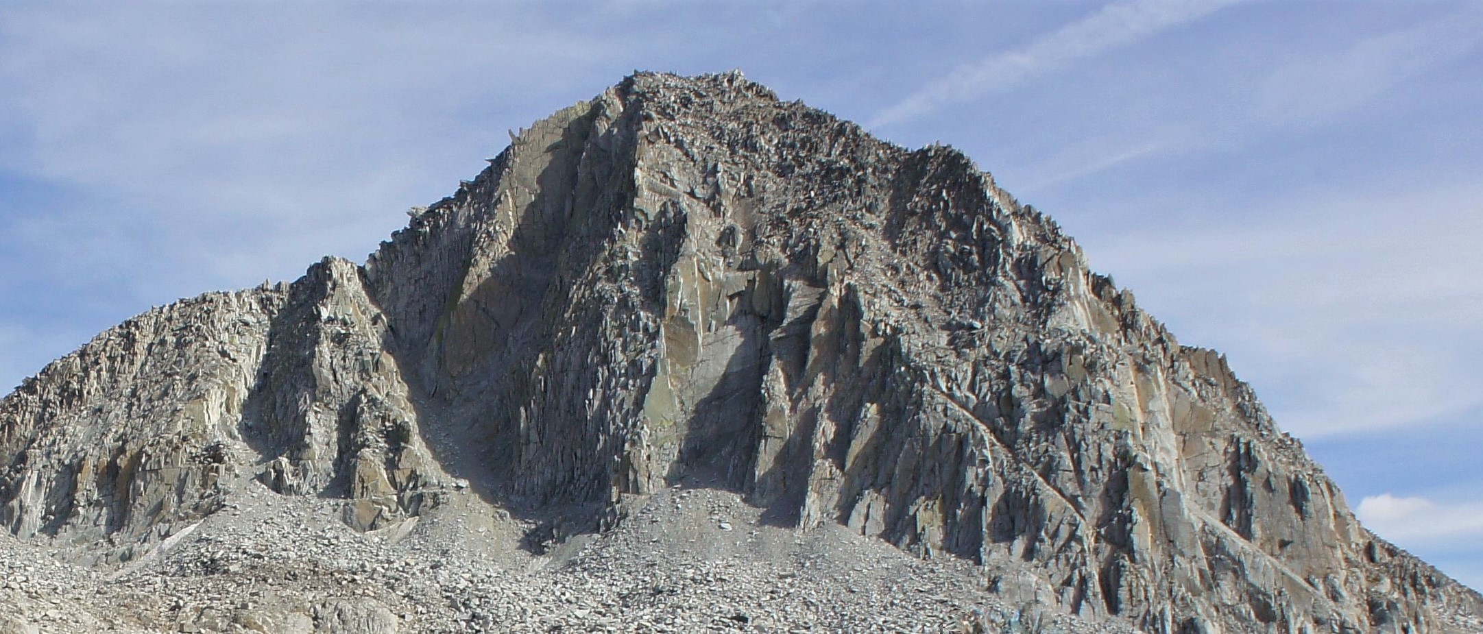
Columbine Peak
No list classifications
Elevation
3,850
m
12,631 ft
Prominence
165 m
Isolation
2.2 km
Coordinates
37.0893° N,
118.5416° W
Grid ref
—
Description
WikipediaColumbine Peak is a 12,662-foot-elevation (3,859-meter) mountain summit located 1.5 miles (2.4 km) west of the crest of the Sierra Nevada mountain range, in Fresno County of northern California, United States. It is situated between Palisade Basin and Dusy Basin in the Palisades area of northern Kings Canyon National Park. It is 1.54 miles (2.48 km) west of North Palisade, 2 miles (3.2 km) south of Bishop Pass, and immediately north of Knapsack Pass. This mountain's name has been officially adopted by the United States Board on Geographic Names. The first ascent of the summit was made prior to 1925 by persons unknown.
First ascent
Date
1925
Source · wikipedia
Best months
Hiking score 0–100 · 10-yr climate averagesRows beneath each bar: mean temperature, monthly precipitation. Highest-scoring month in red.
Neighbouring summits
| Name | Elevation | Bearing | Distance |
|---|---|---|---|
| Isosceles Peak | 3,761 m | NE 28° | 0.6 km |
| Mount Winchell | 4,200 m | NE 39° | 2.2 km |
| Thunderbolt Peak | 4,268 m | NE 67° | 2.3 km |
| Giraud Peak | 3,838 m | SW 237° | 2.4 km |
| Starlight Peak | 4,336 m | E 75° | 2.4 km |
| North Palisade | 4,343 m | E 77° | 2.5 km |
Climbing routes
nearest first| Route | Area | Grade | From summit |
|---|---|---|---|
| Death Dihedral | Columbine Peak | 6b | 2 m |
| South Ridge | Columbine Peak | 1- | 2 m |
| Keith-Lowery Route | Isosceles Peak | 5a | 647 m |
| West - East Summit Traverse | Isosceles Peak | 1+ | 647 m |
| West Chute | Isosceles Peak | 5a | 647 m |
| Northeast Face | Isosceles Peak | 1+ | 647 m |
| Southwest Buttress | Isosceles Peak | 4c | 647 m |
| Southwest Face | Isosceles Peak | 1+ | 647 m |
| The Tangerine | Isosceles Peak | 6a | 647 m |
| Southwest Chute | Isosceles Peak | 1+ | 647 m |
| West Face | Isosceles Peak | 5c | 647 m |
| East Arete | Mt. Winchell | 1- | 2.2 km |
| Southwest Chute | Mt. Winchell | 4c | 2.2 km |
| McKenzie's Arete | Mt. Winchell | 6b | 2.2 km |
| West Arete | Mt. Winchell | 5b | 2.2 km |
| North Couloir | Thunderbolt Peak | 1 | 2.3 km |
| Thunderbolt to Sill Traverse | Thunderbolt Peak | 5c | 2.3 km |
| Austrian Arete | Thunderbolt Peak | 5a | 2.3 km |
| Southwest Chute 1 | Thunderbolt Peak | 1+ | 2.3 km |
| Southwest Buttress | Thunderbolt Peak | 5a | 2.3 km |
| Underhill Couloir | Thunderbolt Peak | 1 | 2.3 km |
| Starlight Buttress | Starlight Peak | 5a | 2.4 km |
| Northwest Chute | Starlight Peak | 1 | 2.4 km |
| U-Notch Couloir | North Palisade | 4c | 2.5 km |
| West Face | North Palisade | 4b | 2.5 km |