Pollux Temple
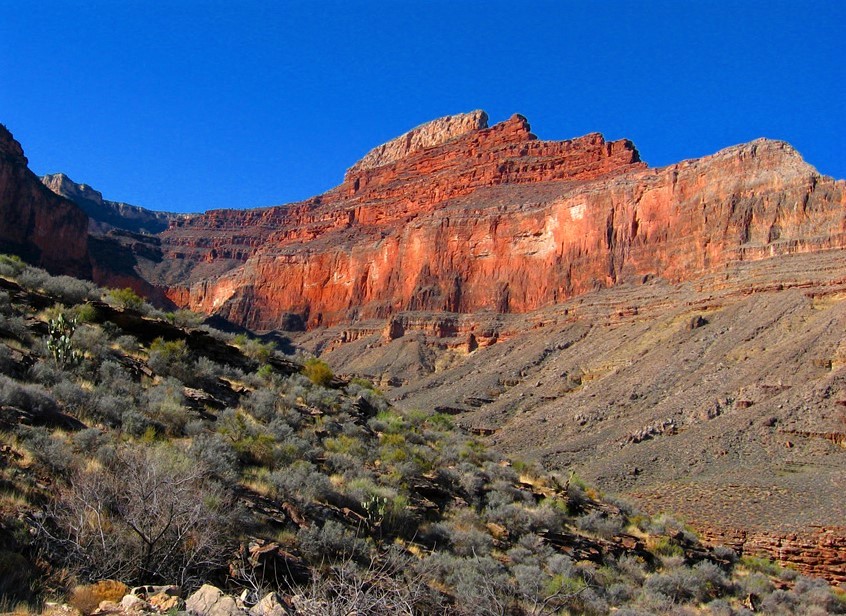
Description
WikipediaPollux Temple is a 6,251-foot-elevation (1,905-meter) summit in the Grand Canyon, in Coconino County of northern Arizona, US. It is situated ten miles northwest of Grand Canyon Village, and less than one mile northeast of Jicarilla Point. Castor Temple is one mile northwest, and Diana Temple is one mile southeast. Topographic relief is significant as Pollux Temple rises nearly 4,000 feet (1,200 meters) above the Colorado River in less than two miles. Pollux Temple is named for Pollux, the divine son of Zeus according to Greek mythology. Clarence Dutton began the practice of naming geographical features in the Grand Canyon after mythological deities. According to the Köppen climate classification system, Pollux Temple is located in a Cold semi-arid climate zone.
First ascent
Best months
Hiking score 0–100 · 10-yr climate averagesNeighbouring summits
| Name | Elevation | Bearing | Distance |
|---|---|---|---|
| Castor Temple | 1,896 m | W 291° | 1.8 km |
| Diana Temple | 2,018 m | SE 133° | 2.5 km |
| Geikie Peak | 1,506 m | NE 65° | 3.3 km |
| Scylla Butte | 1,174 m | E 68° | 4.2 km |
| Vesta Temple | 1,919 m | SE 135° | 4.3 km |
| Charybdis Butte | 842 m | NE 53° | 4.9 km |