Record SL-630330 · Wikidata Q49028177
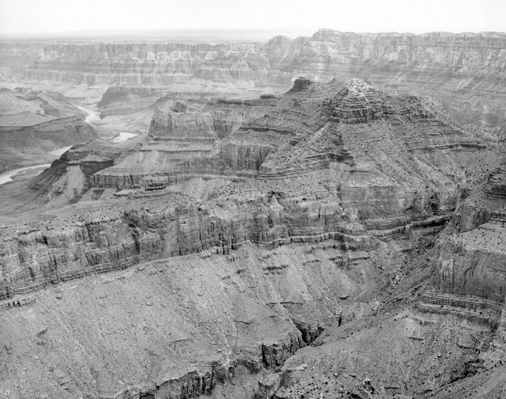
Escalante Butte
No list classifications
Elevation
1,949
m
6,394 ft
Prominence
267 m
Isolation
—
Coordinates
36.0489° N,
111.8502° W
Grid ref
—
Description
WikipediaEscalante Butte is a 6,536-foot (1,992 m) prominence adjacent the far eastern South Rim of the Grand Canyon, of Northern Arizona. Adjacent east is a lower elevation butte, Cardenas Butte. Both buttes, (and the South Rim), are part of the western drainage of north-trending Tanner Canyon into the Colorado River.
Best months
Hiking score 0–100 · 10-yr climate averagesRows beneath each bar: mean temperature, monthly precipitation. Highest-scoring month in red.
Neighbouring summits
| Name | Elevation | Bearing | Distance |
|---|---|---|---|
| Cardenas Butte | 1,825 m | NE 29° | 1.3 km |
| Desert View Point | 2,279 m | E 109° | 2.4 km |
| Papago Point | 2,220 m | SW 228° | 4.3 km |
| Hollenback Point | 2,220 m | SW 228° | 4.3 km |
Climbing routes
nearest first| Route | Area | Grade | From summit |
|---|---|---|---|
| Comanche Point Pinnacle | Comanche Point Pinnacle | 5.11- | 6.5 km |
| Comanche Ridge (SW) | Comanche Ridge (SW) | 5.10+ | 6.5 km |
| Unnamed Problem 2 | Moran Point | V0 | 8.2 km |
| Point of Intersection | Moran Point | V2-3 | 8.2 km |
| Unnamed Cracks | Moran Point | V0 | 8.2 km |
| Unnamed Problem 1 | Moran Point | V0+ | 8.2 km |
| The Photo Op | Moran Point | V0-1 | 8.2 km |
| North Face | Vishnu Temple | 5.0 | 8.9 km |