Record SL-627685 · Wikidata Q6923271
Mount Root
Boundary Peak 165
No list classifications
Elevation
3,553
m
11,657 ft
Prominence
2,913 m
Isolation
—
Coordinates
58.9854° N,
137.5000° W
Grid ref
—
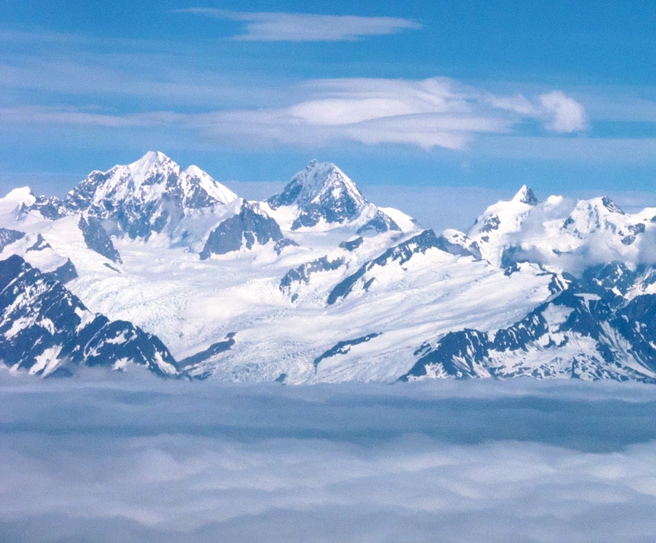
Description
WikipediaMount Root, also named Boundary Peak 165, is a mountain in Alaska and British Columbia, located on the Canada–United States border, and part of the Fairweather Range of the Saint Elias Mountains. It is named for Elihu Root, who was one of the diplomats involved in settling the Alaska boundary dispute between the United States and Canada. It is where the Margerie Glacier is located. The first ascent was made June 13, 1977, by Laurel Adkins, Thomas Distler, George Fisher and Walter Gove via the East Ridge. It involved 22 pitches of ice climbing.
First ascent
Date
1977
Laurel Adkins, Thomas Distler, George Fisher, Walter Gove
Source · wikipedia
Best months
Hiking score 0–100 · 10-yr climate averagesRows beneath each bar: mean temperature, monthly precipitation. Highest-scoring month in red.
Neighbouring summits
| Name | Elevation | Bearing | Distance |
|---|---|---|---|
| Mount Watson | 3,809 m | NW 308° | 4.1 km |