Mount Blachnitzky
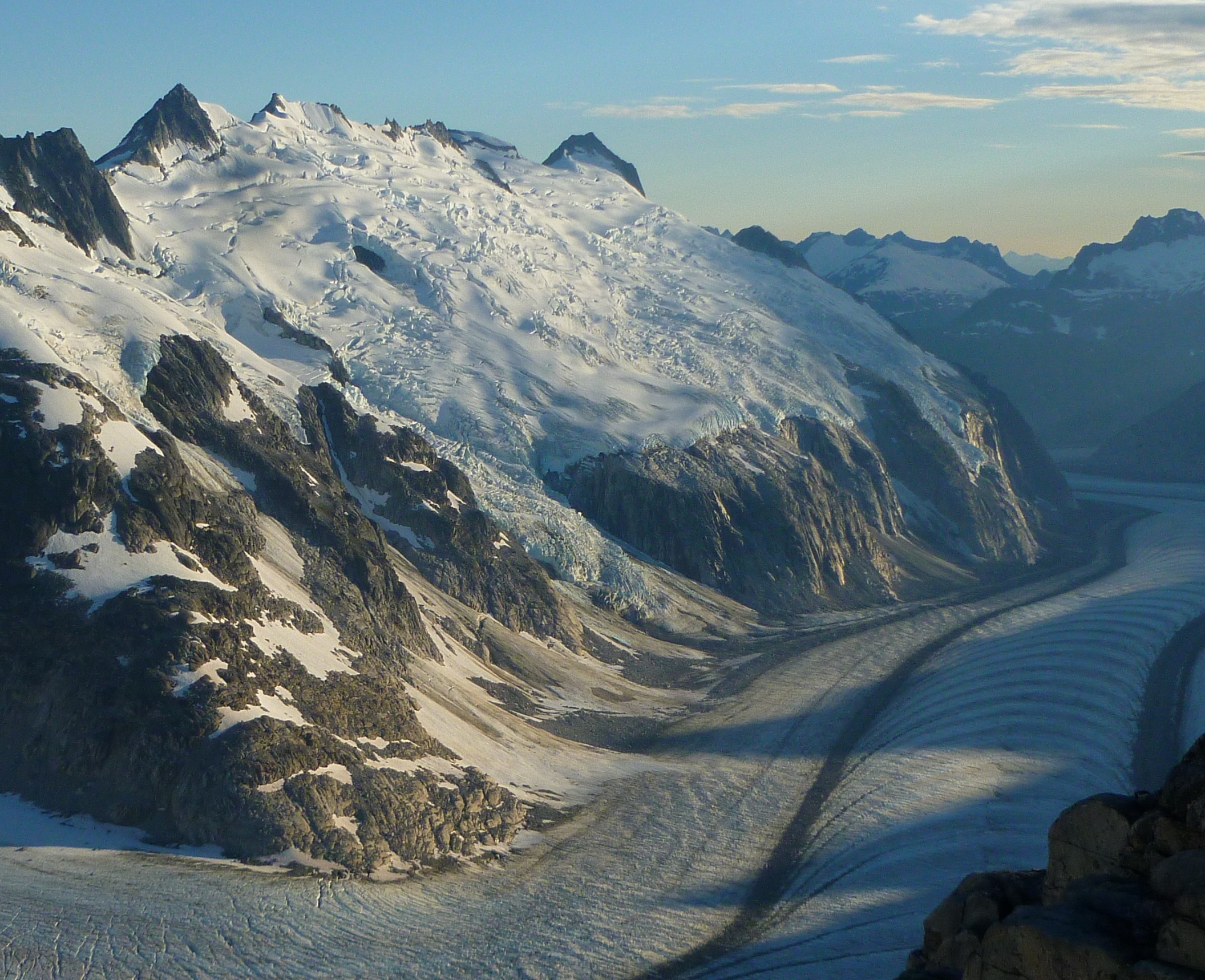
Description
WikipediaMount Blachnitzky is a 6,552 ft (2,000 m) mountain summit in the city and borough of Juneau, Alaska, United States. It is a part of the Boundary Ranges of the Coast Mountains in western North America. It is located between Gilkey Glacier and Avalanche Canyon; it is named after Klaus Blachnitzky (1921-1988), a surveyor, geodesist, and explorer of the Juneau Icefield. Blachnitzky was the head surveyor for the Juneau Icefield Research Program. Much of his work was conducted in the vicinity of this summit. In August 1988, having completed almost two seasons instructing student surveyors and scientists in the science and practice of terrestrial field surveying and geodesy, he was killed when he slipped from a rock cleaver on the slope of Vaughan Lewis Glacier. The site of his death is four miles from the mountain named in his honor. In 2004, four climbers made a memorial climb of the previously unclimbed summit and left surveying mementos of Blachnitzky's life at the peak. The first ascent was made on June 30, 2004 by Scott McGee, Keith Daellenbach, Charles Daellenbach, and Fred Skemp III, via the southwest cirque/south ridge. The mountain's name was officially adopted in 2007 by the U.S. Board on Geographic Names.