Record SL-628055 · Wikidata Q22415356
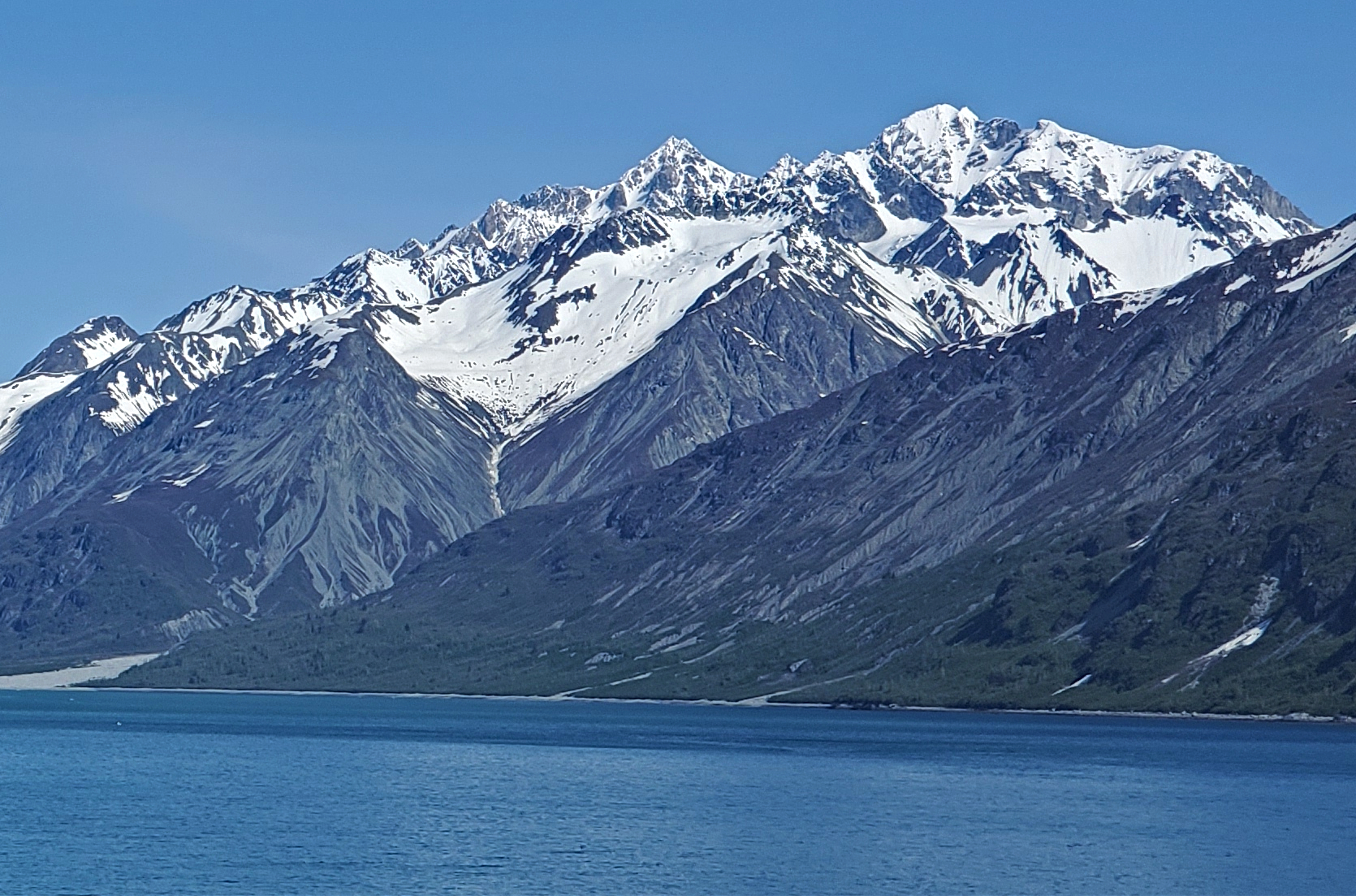
Mount Barnard
Boundary Peak 160
No list classifications
Elevation
2,504
m
8,215 ft
Prominence
—
Isolation
—
Coordinates
59.1018° N,
136.9630° W
Grid ref
—
Description
WikipediaMount Barnard, also named Boundary Peak 160, is a mountain in Alaska and British Columbia, located on the Canada–United States border, and part of the Alsek Ranges of the Saint Elias Mountains. In 1923 Boundary Peak 160 was named Mount Barnard in honour of Edward Chester Barnard, a U.S. Boundary Commissioner from 1915 to 1921 and chief topographer of the United States and Canada Boundary Survey from 1903 to 1915. The first ascent of Mount Barnard was made on August 24, 1966, from the head of Tarr Inlet by D. Kenyon King, Peter H. Robinson and David P. Johnston. The details on file with Peak Service at Bartlett Cove, Glacier Bay National Monument, Gustavus, Alaska.
Best months
Hiking score 0–100 · 10-yr climate averagesRows beneath each bar: mean temperature, monthly precipitation. Highest-scoring month in red.