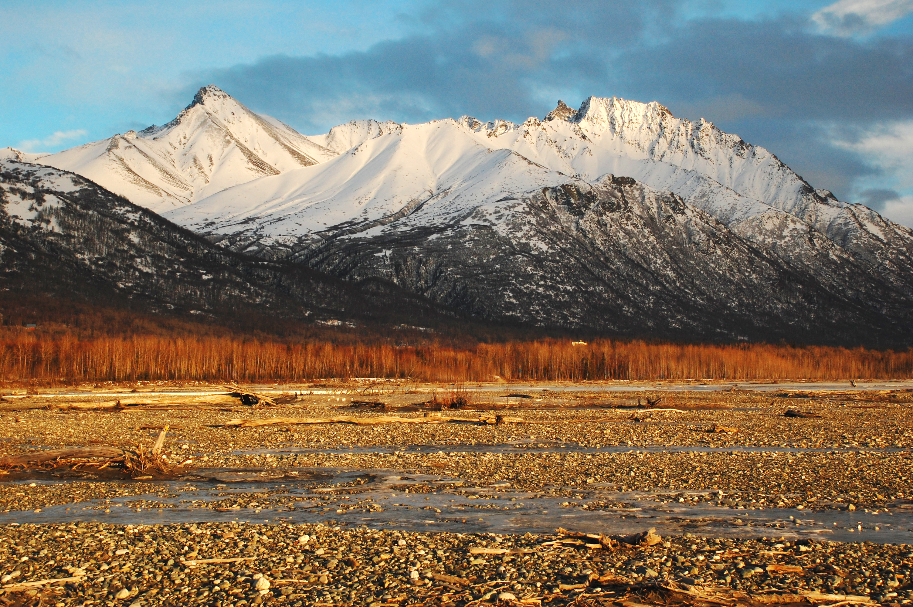
Matanuska Peak is a 6,093 ft (1,860 m) mountain summit located in the Chugach Mountains, in Matanuska-Susitna Borough in the U.S. state of Alaska. The mountain is a major landmark in the Matanuska Valley, situated 7.5 mi (12 km) east of Palmer, and 10 mi (16 km) north-northeast of Pioneer Peak. The nearest higher peak is Frontier Peak, 2.1 mi (3 km) to the southeast. Matanuska Peak's name was officially approved in 1969 by the United States Geological Survey, and derives from the Matanuska River, a native name on maps since 1897. "Matanuska" is derived from the Russian term for the "copper river people". The Matanuska Peak Trail is a five mile one-way hike with 5,670 feet of elevation gain and minor scrambling. The months June through October offer the most favorable weather and snow-free trail conditions to climb this peak. The Matanuska Peak Challenge is a strenuous race run in August each year.
Best months
Hiking score 0–100 · 10-yr climate averages
Rows beneath each bar: mean temperature, monthly precipitation. Highest-scoring month in red.