Record SL-762583 · Wikidata Q6922300
Mount Morungole
No list classifications
Elevation
2,749
m
9,019 ft
Prominence
1,400 m
Isolation
—
Coordinates
3.8145° N,
34.0319° E
Grid ref
—
Description
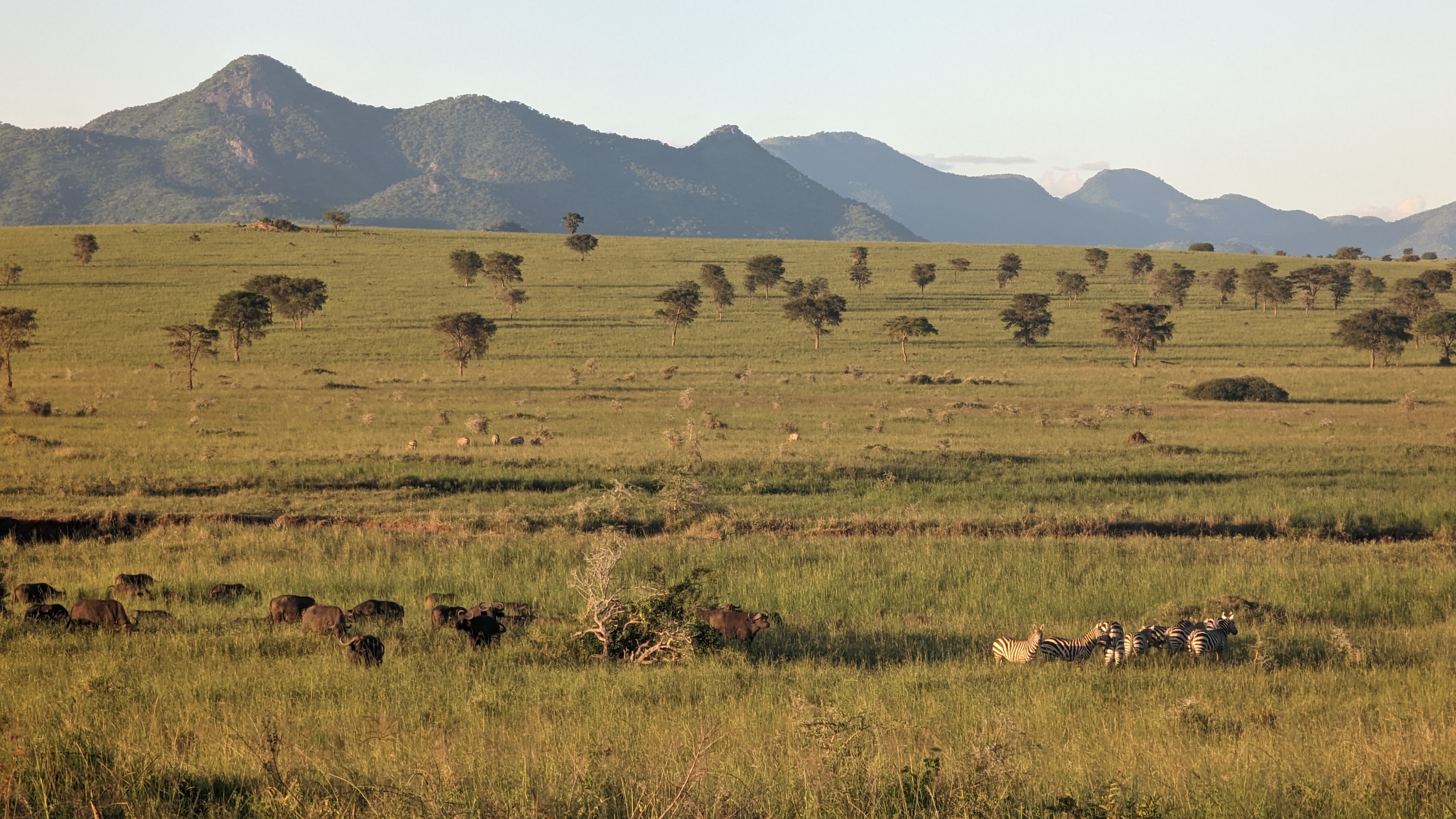
WikipediaMount Morungole is a mountain in Kidepo Valley National Park in north-east Uganda. It is in the rugged, semi-arid Karamoja region, near the border with Sudan. Neighbouring peaks include Mount Zulia, and the Labwor and Dodoth Hills reach heights in excess of 2,000 meters. The local inhabitants were the Ik people, who were moved by a previous administration. They were attached to Mount Morungole, considering it a sacred place.
Best months
Hiking score 0–100 · 10-yr climate averagesRows beneath each bar: mean temperature, monthly precipitation. Highest-scoring month in red.