Record SL-735209 · Wikidata Q5288597
Doi Nang Non
No list classifications
Elevation
830
m
2,723 ft
Prominence
—
Isolation
—
Coordinates
20.3569° N,
99.8530° E
Grid ref
—
Description
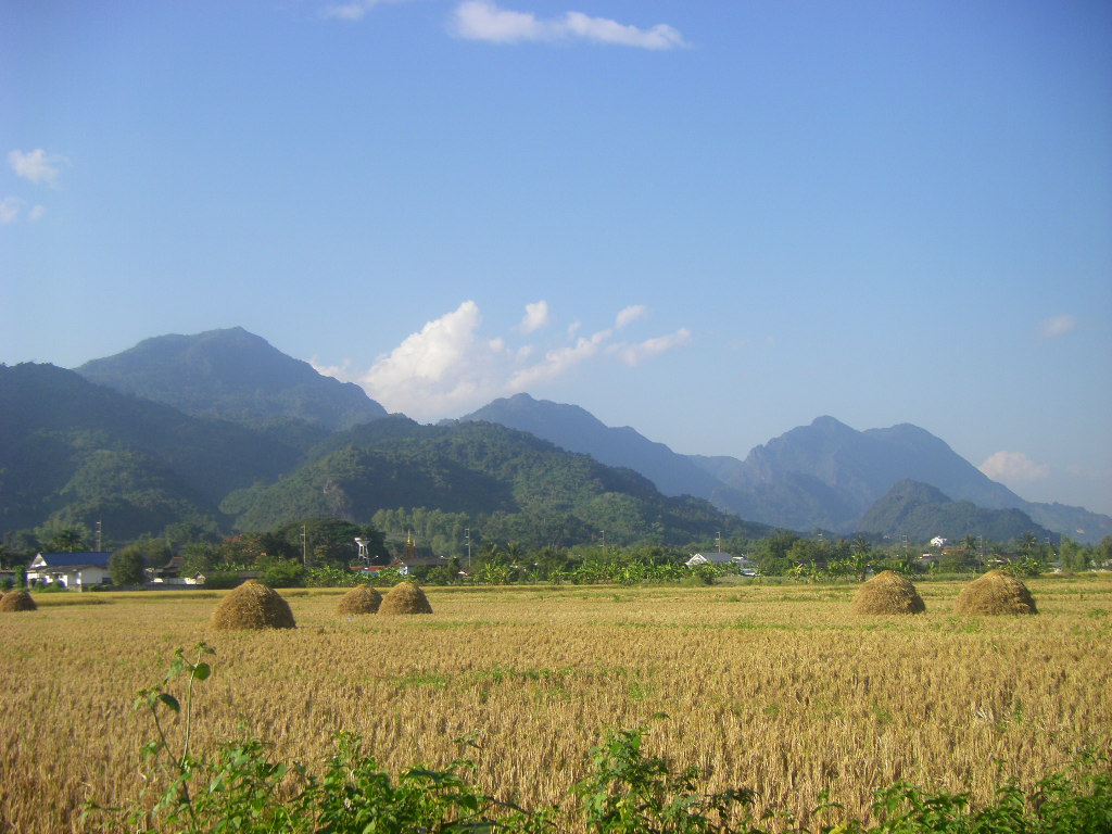
WikipediaDoi Nang Non (Thai: ดอยนางนอน, pronounced [dɔ̄ːj nāːŋ nɔ̄ːn]; 'Mountain of the Sleeping Lady') is a mountain range in the Thai highlands in Chiang Rai Province, Thailand. It is a karstic formation with numerous waterfalls and caves rising at the southern end of the Daen Lao Range. Part of its area is managed as the Tham Luang–Khun Nam Nang Non Forest Park (Thai: วนอุทยานถ้ำหลวง-ขุนน้ำนางนอน).
Best months
Hiking score 0–100 · 10-yr climate averagesRows beneath each bar: mean temperature, monthly precipitation. Highest-scoring month in red.
Neighbouring summits
| Name | Elevation | Bearing | Distance |
|---|---|---|---|
| Doi Tham Pum | 808 m | S 182° | 1.1 km |
| Doi Tung | 1,389 m | SW 234° | 1.8 km |
| Doi Chong | 1,269 m | N 4° | 1.8 km |
| Doi Tung | 1,410 m | SW 210° | 3.9 km |
| Doi Chang Mub | 870 m | SW 240° | 4.9 km |