Record SL-616688 · Wikidata Q7205043
Pljackovica
No list classifications
Elevation
1,231
m
4,039 ft
Prominence
—
Isolation
—
Coordinates
42.5905° N,
21.8996° E
Grid ref
—
Description
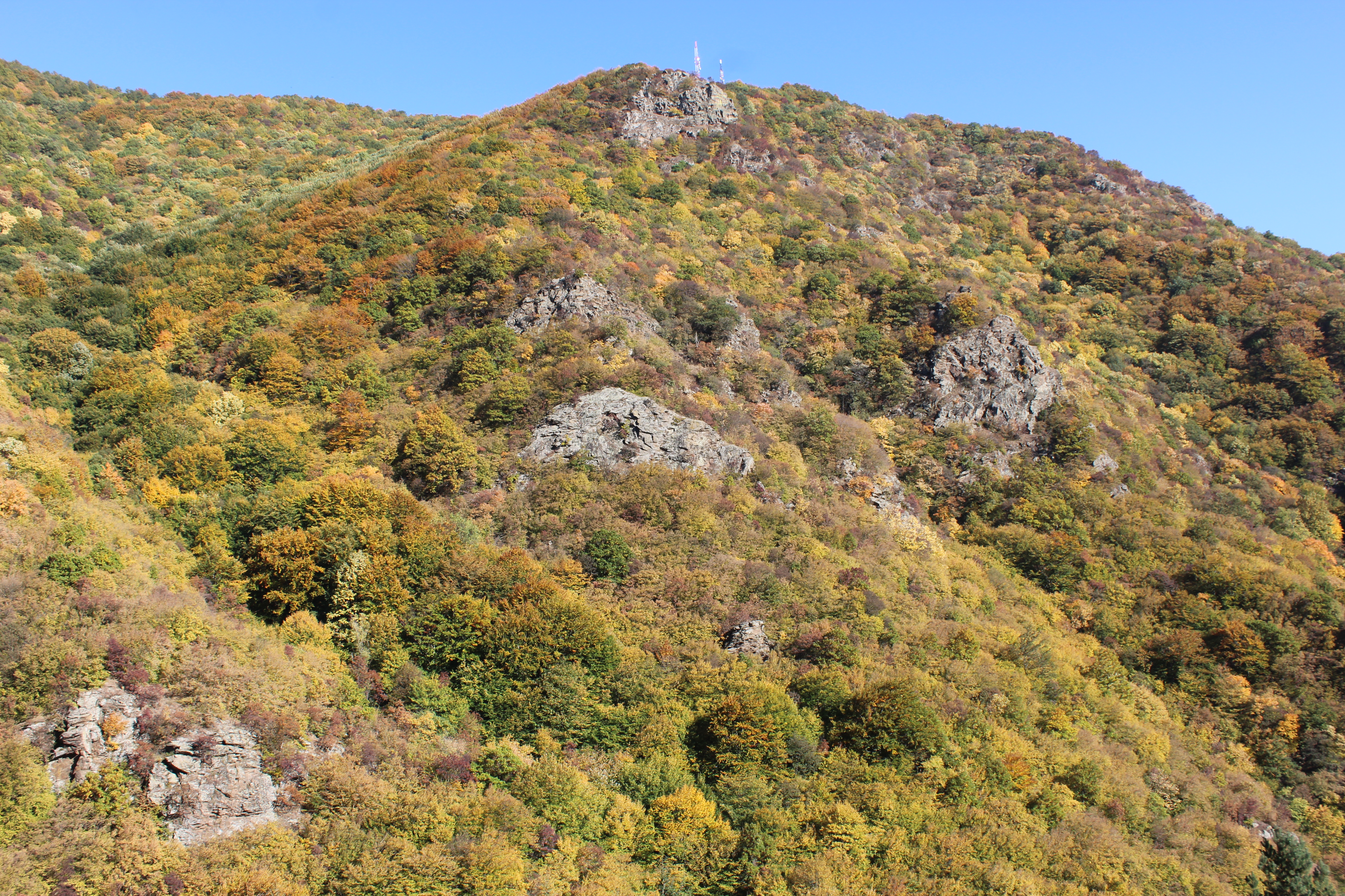
WikipediaPljačkovica (Serbian Cyrillic: Пљачковица, pronounced [pʎǎtʃkɔʋitsa]) is a mountain in southern Serbia, overlooking the city of Vranje. Its highest peak has an elevation of 1,231 meters above sea level. Located over the city of Vranje, the peak of the mountain is the site of a TV tower and other telecommunication facilities. It was heavily bombed in the NATO bombing of FR Yugoslavia in 1999, and it is significantly contaminated with depleted uranium ammunition.
Best months
Hiking score 0–100 · 10-yr climate averagesRows beneath each bar: mean temperature, monthly precipitation. Highest-scoring month in red.
Neighbouring summits
| Name | Elevation | Bearing | Distance |
|---|---|---|---|
| Sredna cuka | 1,086 m | W 278° | 1.2 km |
| Markovo kale | 774 m | SW 222° | 1.4 km |
| Lak | 1,081 m | NW 307° | 1.4 km |
| Pobijen kamen | 1,114 m | E 110° | 1.4 km |
| Sanci | 1,100 m | NW 327° | 2.2 km |
| Krstilovica | 1,154 m | W 256° | 2.3 km |